02.07.2025
Day 1: Le Bourg d’Oisans - Besse-en-Oisans
⬇ Download GPX file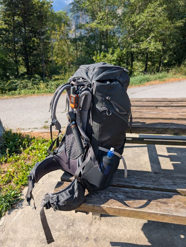
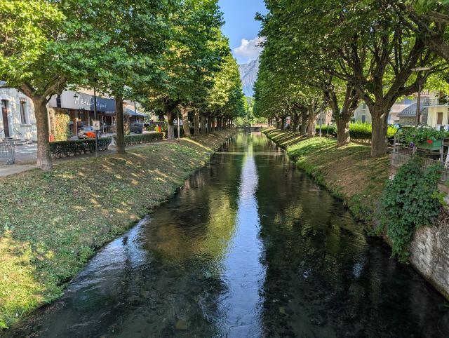
I took a bus directly from Geneva to Grenoble and another bus from there to Le Bourg-d’Oisans. The journey went smoothly, but it was a long day that started at 04:30 in Narvik, with arrival just before 20:00. I was completely wiped out when I entered the apartment I had rented.
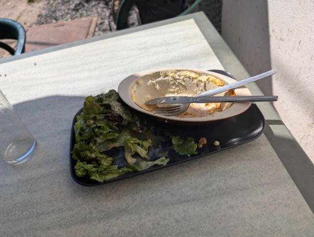
There is a heatwave in France now, and it’s very noticeable in Le Bourg-d’Oisans as well. I therefore wanted to start the first stage as early as possible to avoid the heat during the steep initial climb. I hoped to reach the grocery stores before they closed at 20:00 so that I would be ready early the next morning. I made it by the skin of my teeth, but they had neither bread nor gas, so I still had to go out and shop before starting the next day. The grocery store opened at 07:00, while the sports shops that had gas didn’t open until 09:00. Oh well, it turned into a long and good breakfast while I waited. 😃
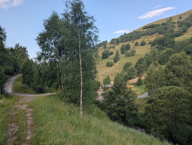
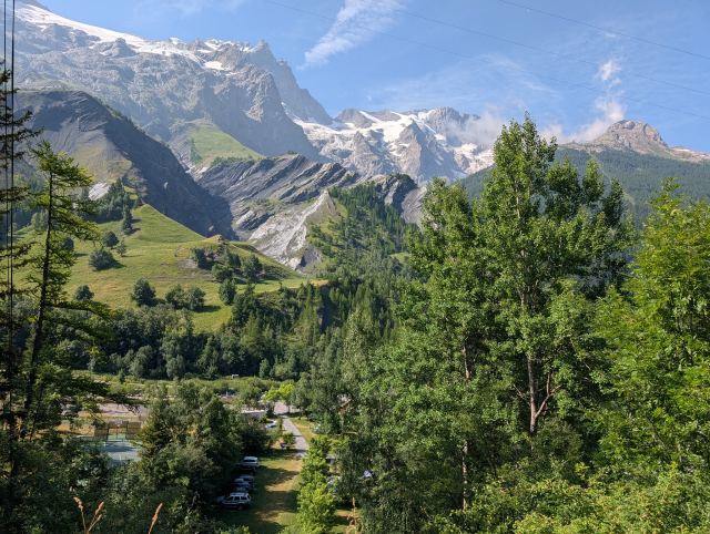
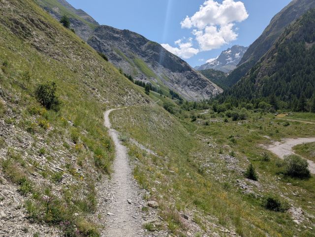
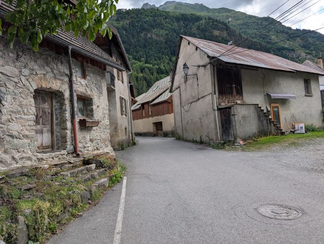
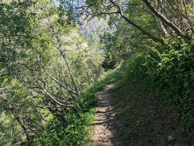
It was half past nine before I got started with the hike. The beginning follows a main road up the valley past the small settlement of Le Châtelard. The trail creeps up through the forest between the road that zigzags here, and the smell of clutches from heavy vehicles on their way up stings the nose. Eventually, I pass the settlement, where I take a small water and breathing break.
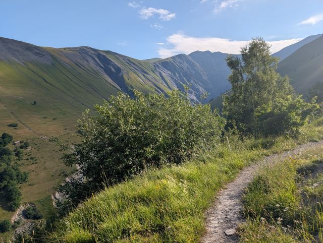
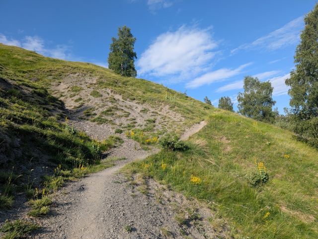
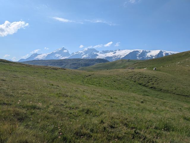
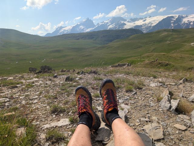
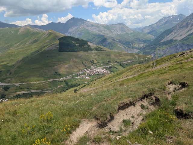
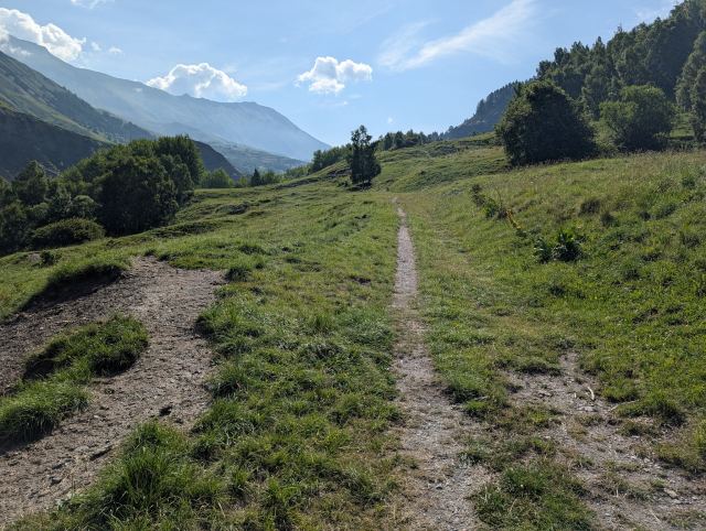
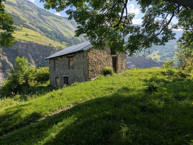
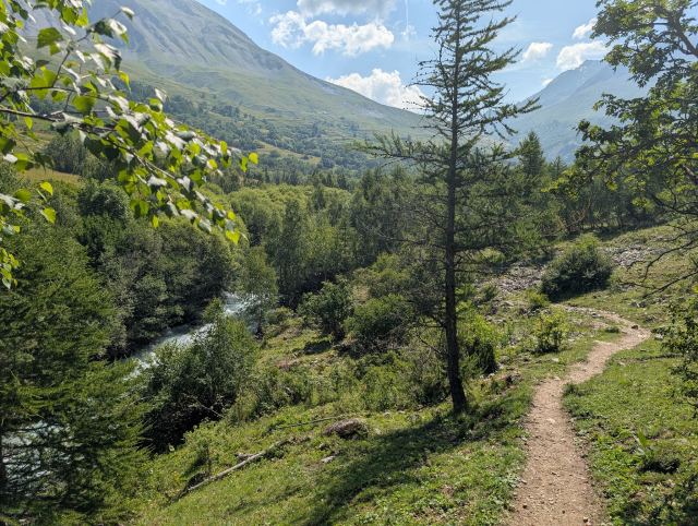
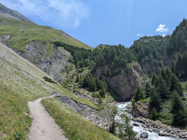
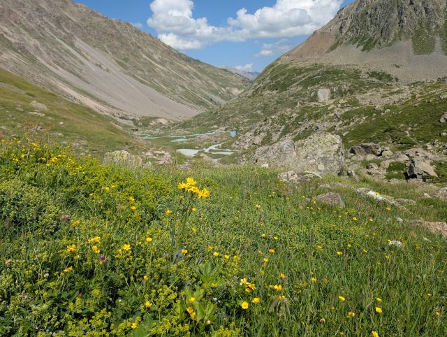
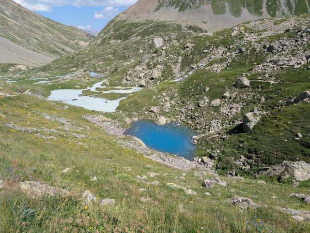
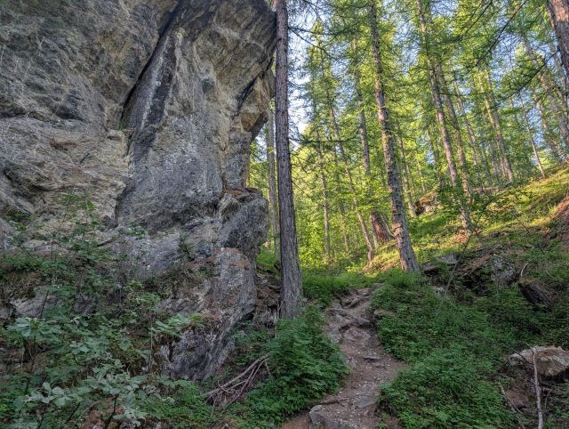
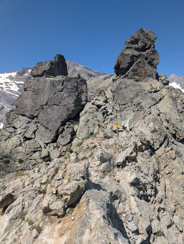
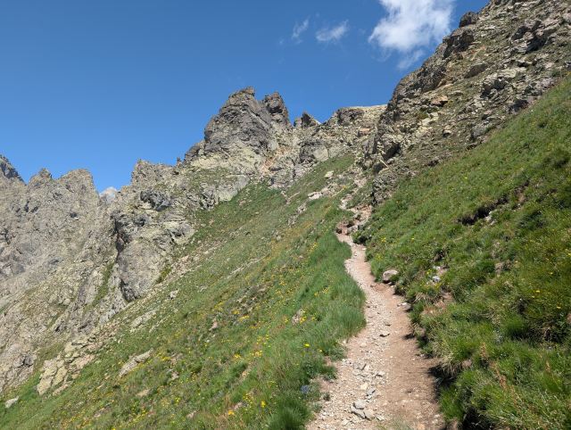
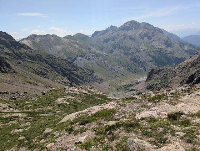
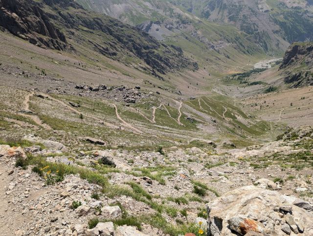
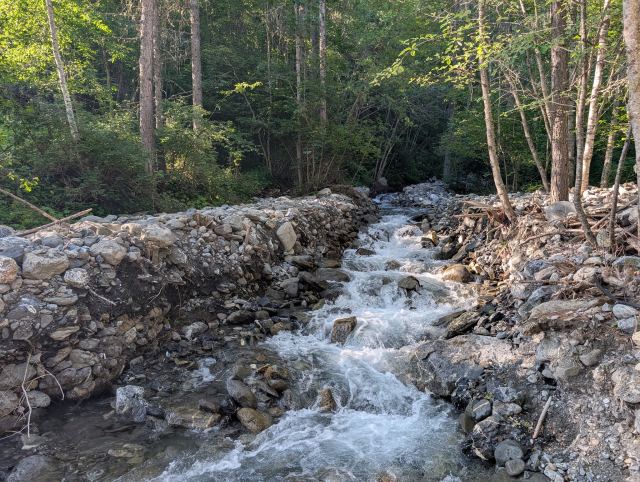
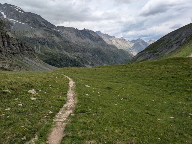
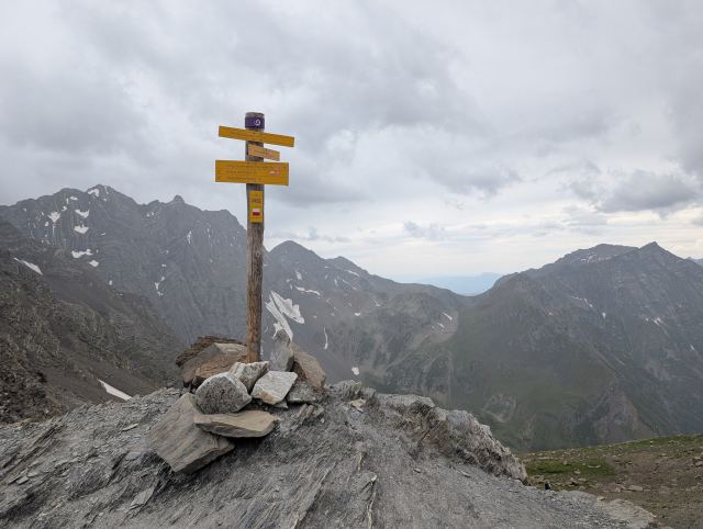
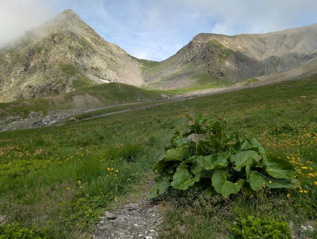
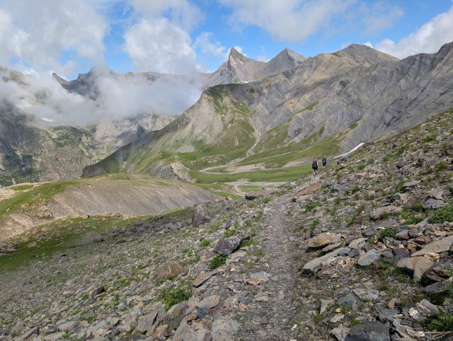
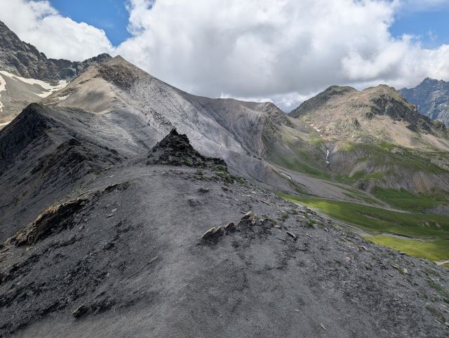
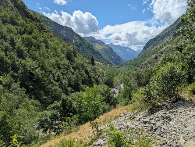
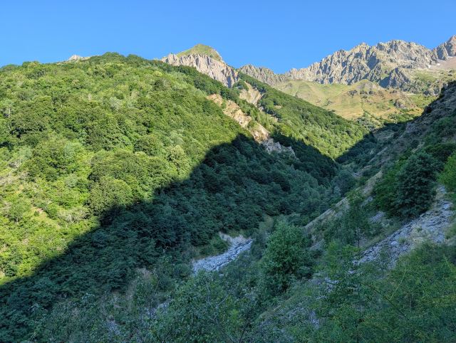
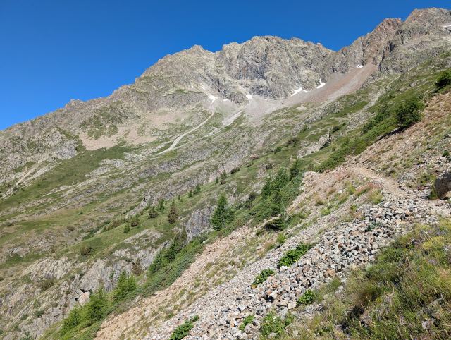
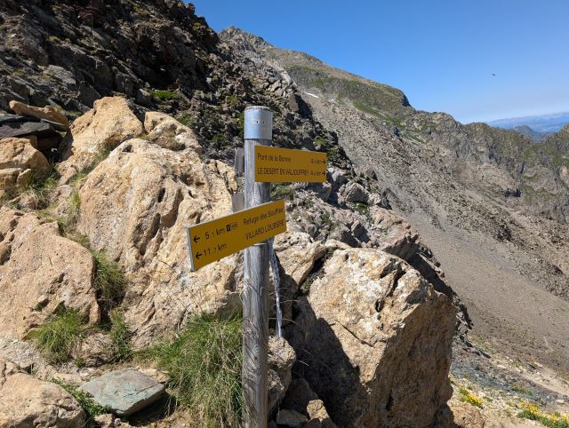
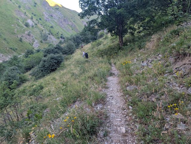
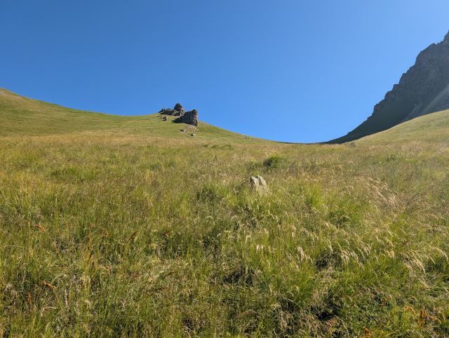
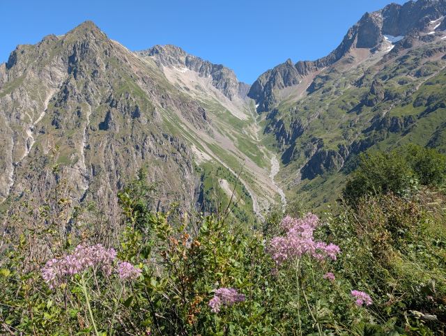
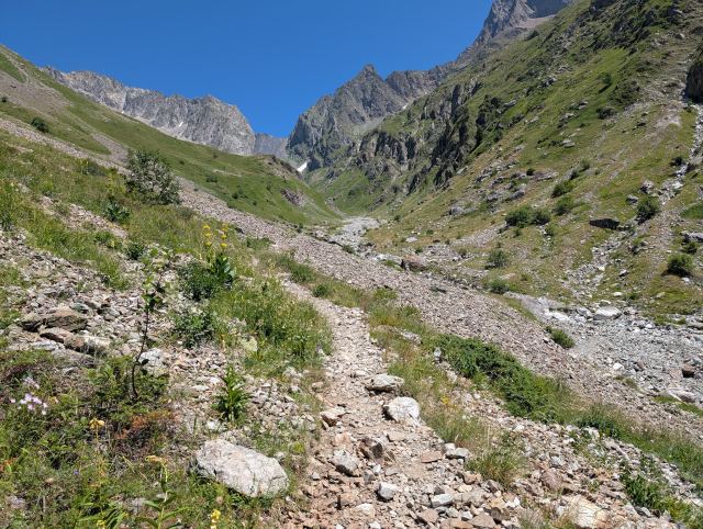
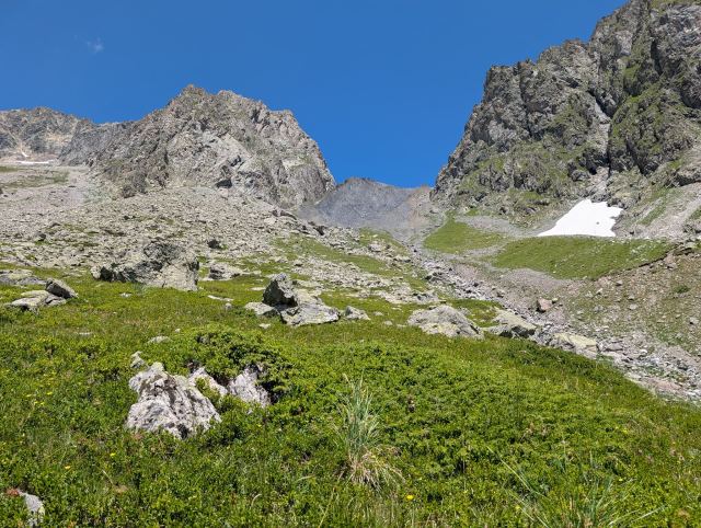
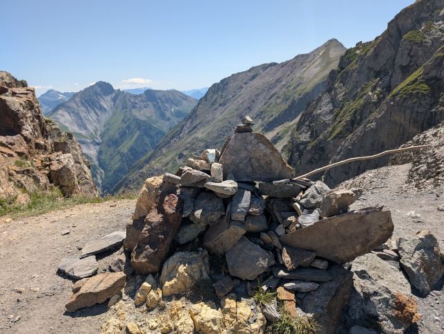
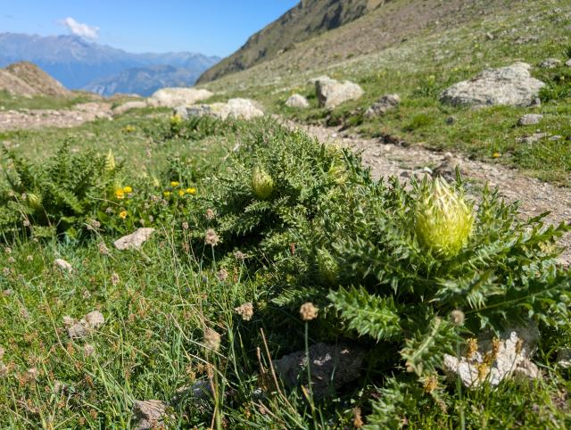
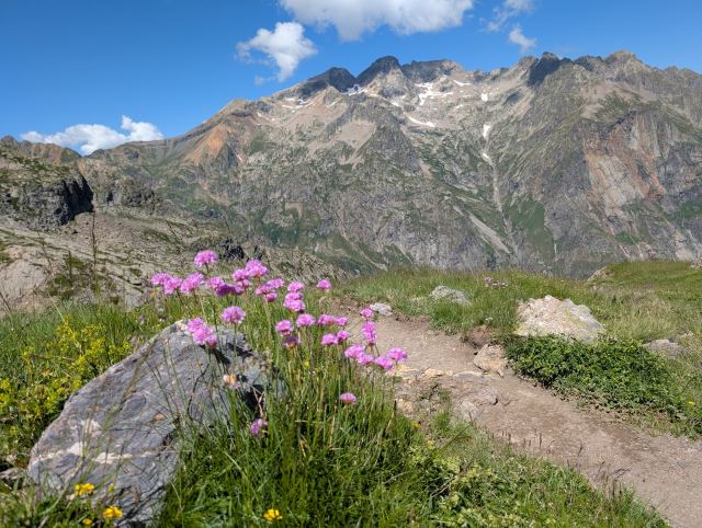
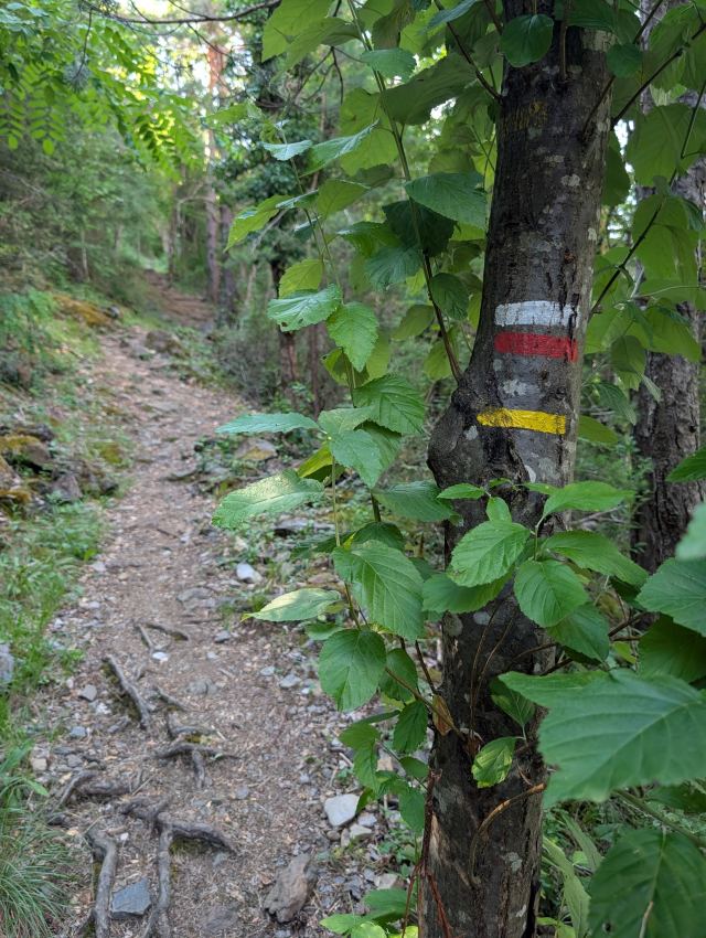
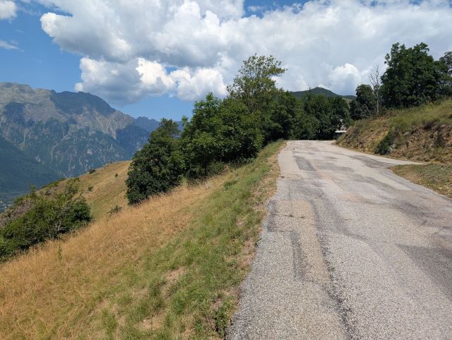
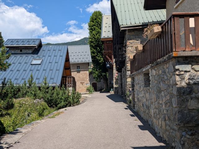
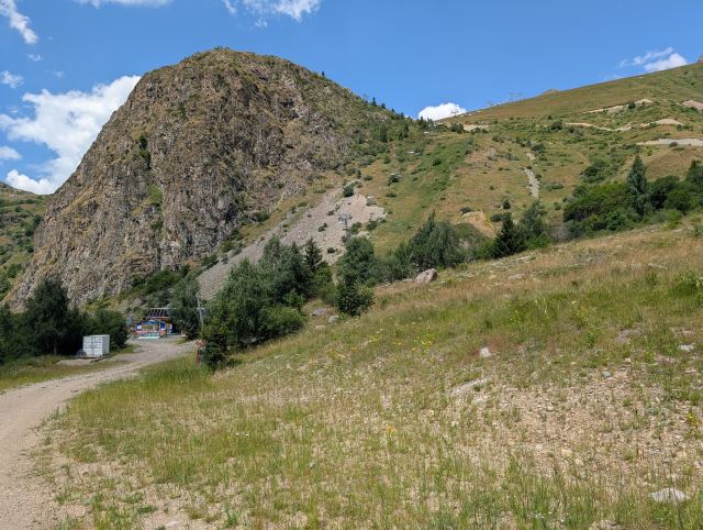
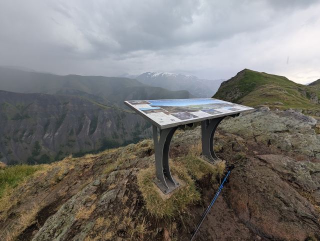
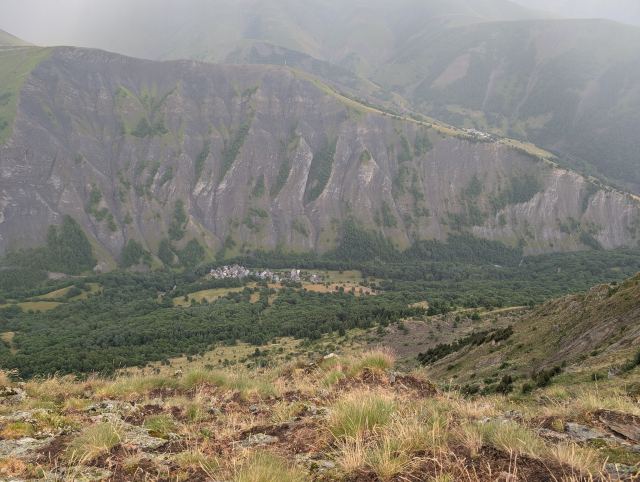
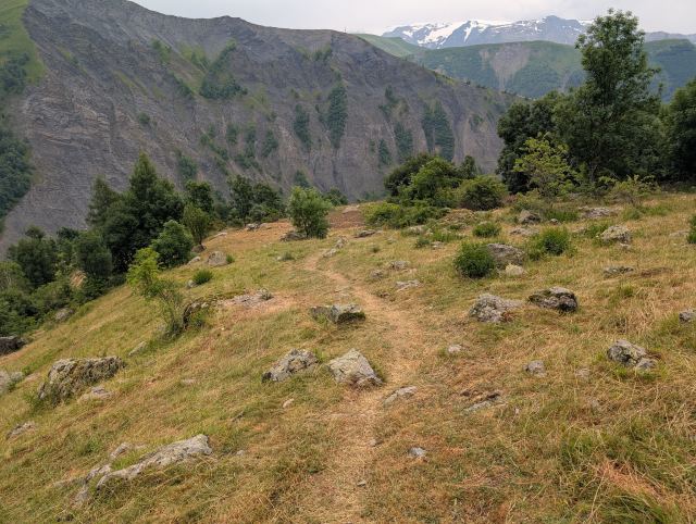
Then the hike continues through two hamlets before a short descent leads into the forest at Gorge de Sarenne. From here, a long but not very steep climb begins towards Col de Sarenne (1999 m.a.s.l.), which will be the highest point of the day. That is to say, there is a viewpoint located a bit higher up, which will be the actual peak. On the way up, I managed the feat of getting lost twice. The last navigational error turned into a long detour, but fortunately, I didn’t have to hike back up the steep incline I had already covered, as I found a path along the valley that met the trail I was supposed to be on. The reason for this is that I had somehow changed the trail in the app I use (Hiiker). When I figured this out, I downloaded the map again, and I obviously won’t be touching those settings anymore. 😄
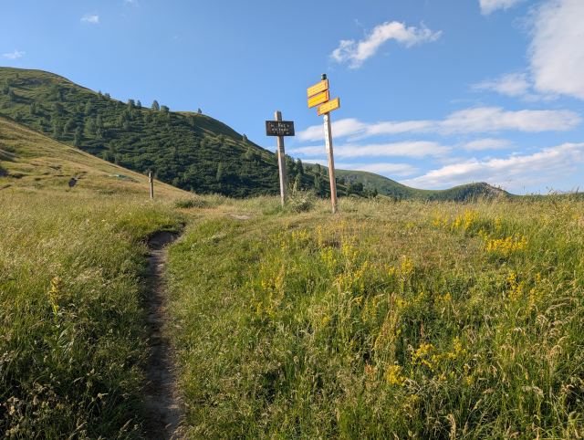
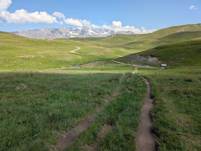
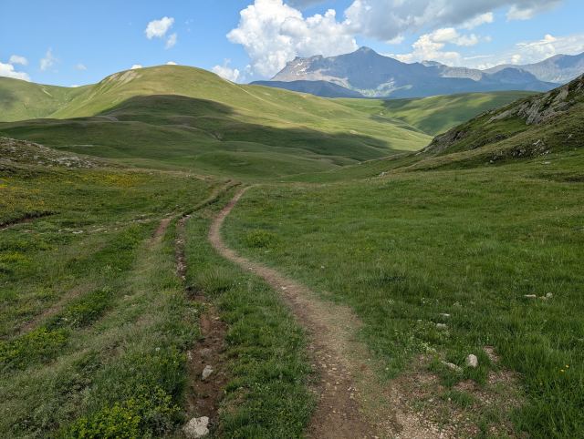
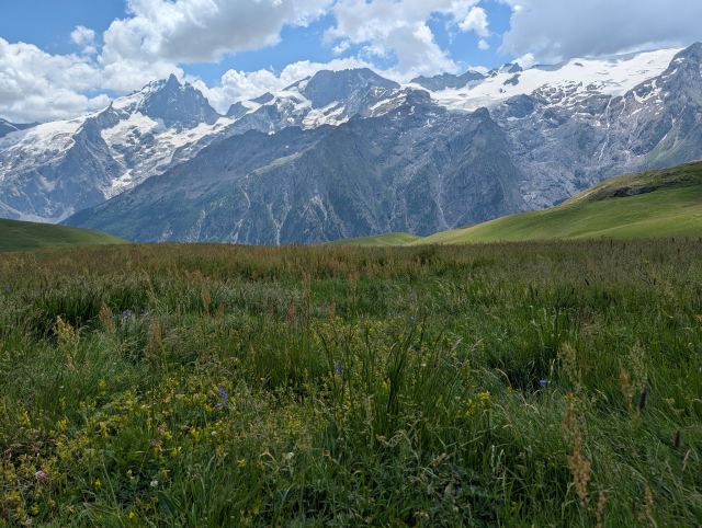
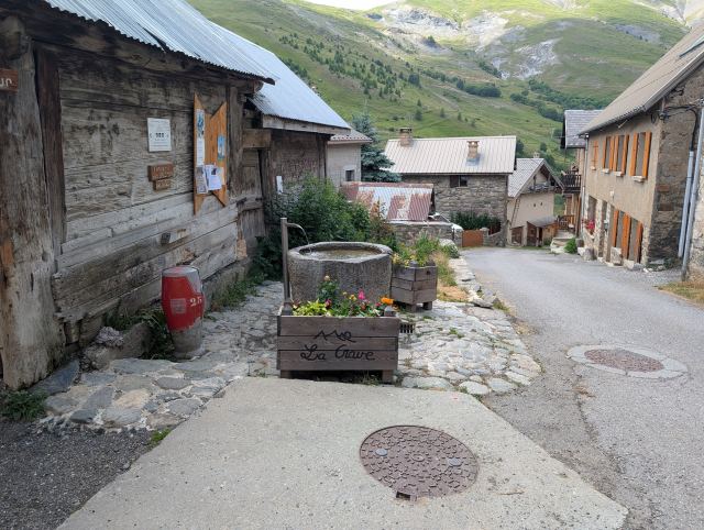
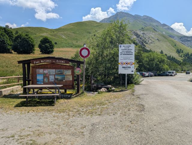
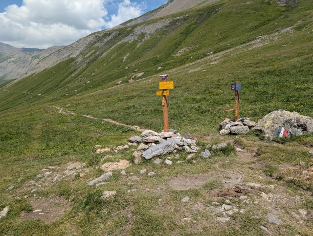
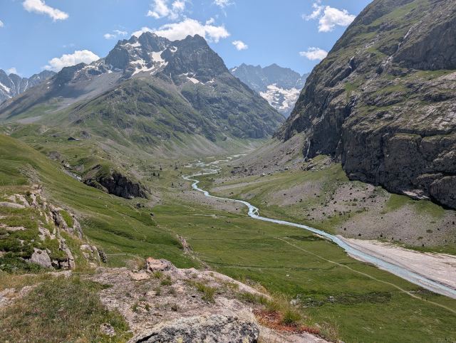
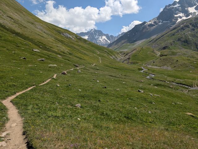
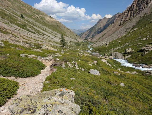
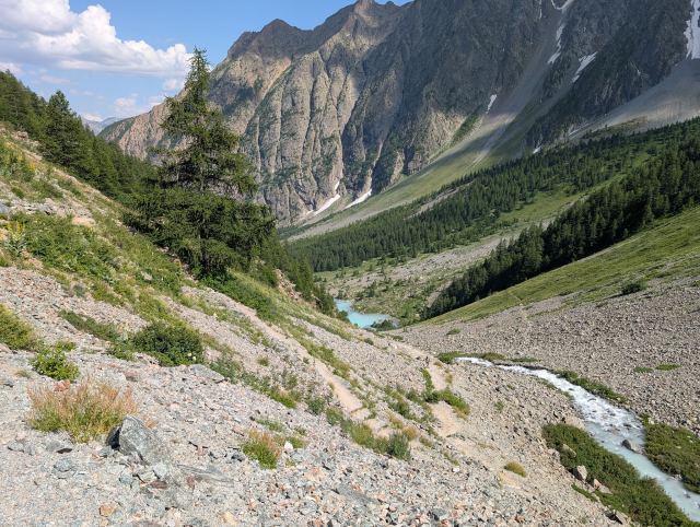
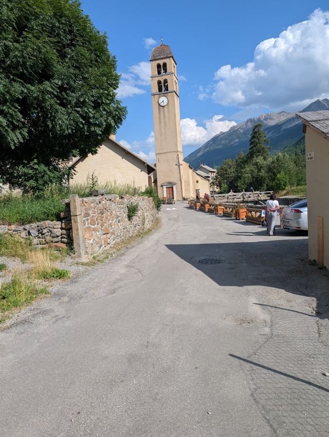
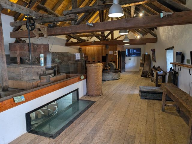
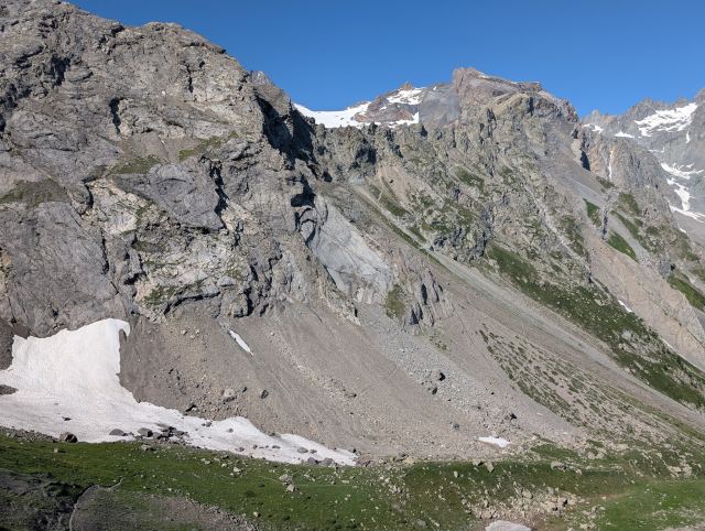
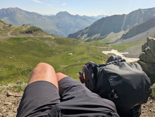
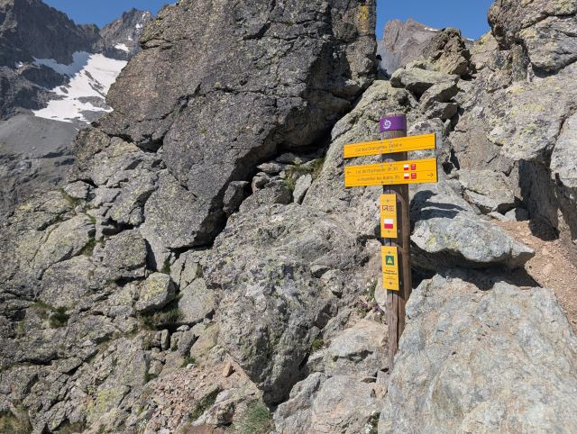
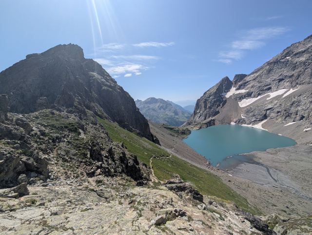
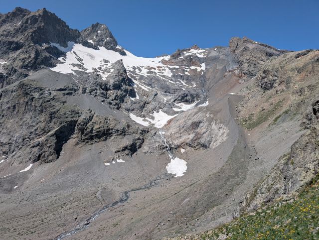
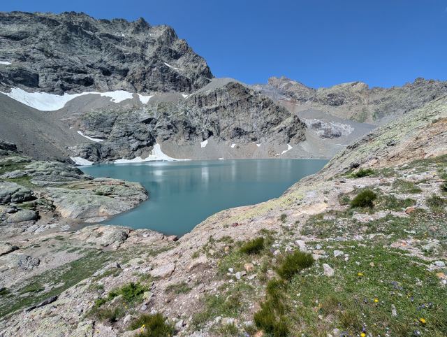
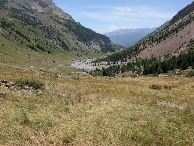
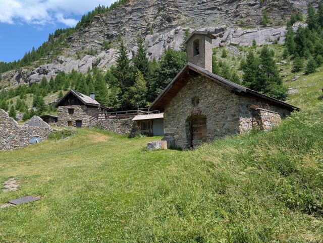
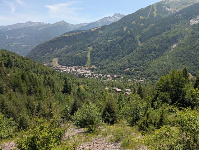
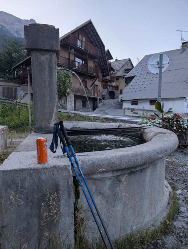
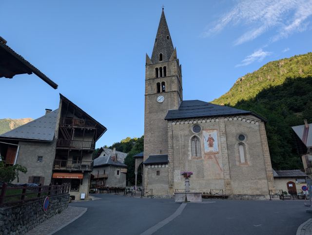
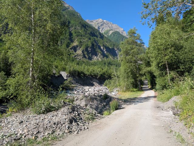
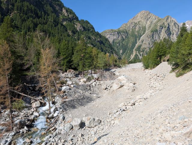
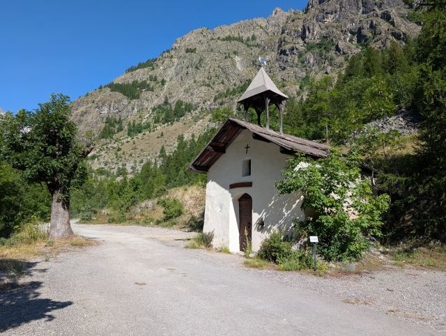
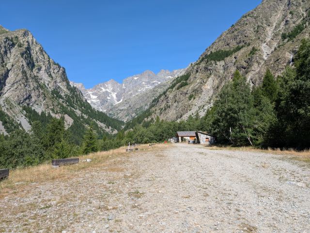
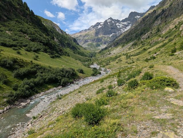
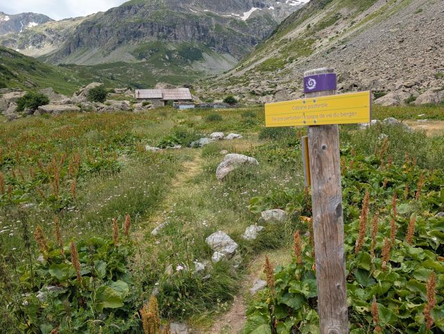
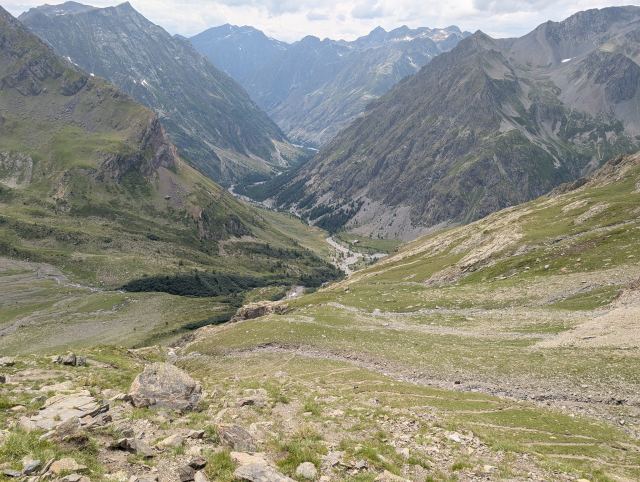
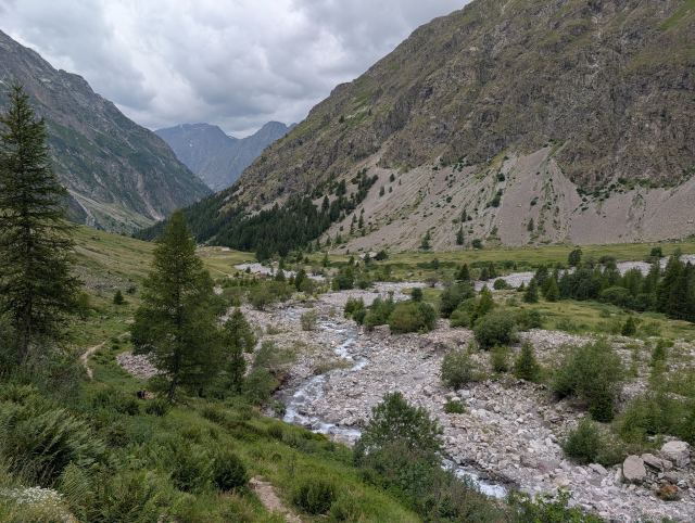
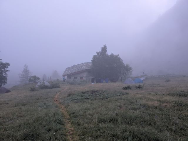
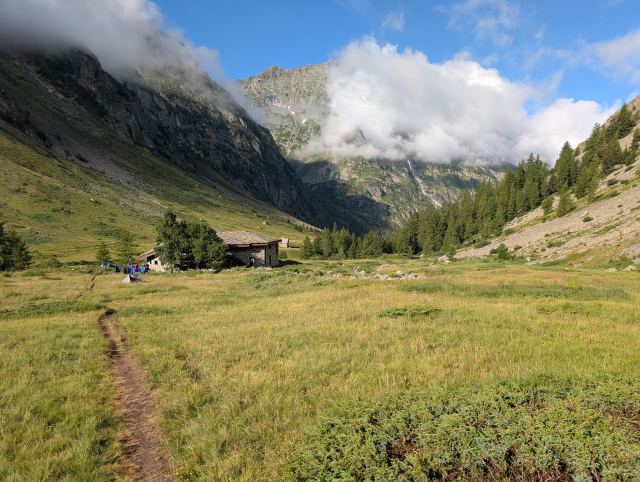
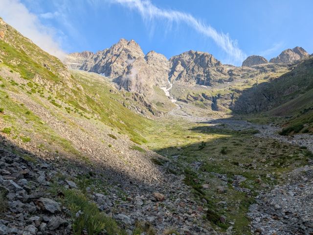
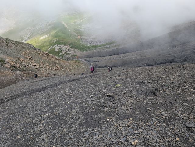
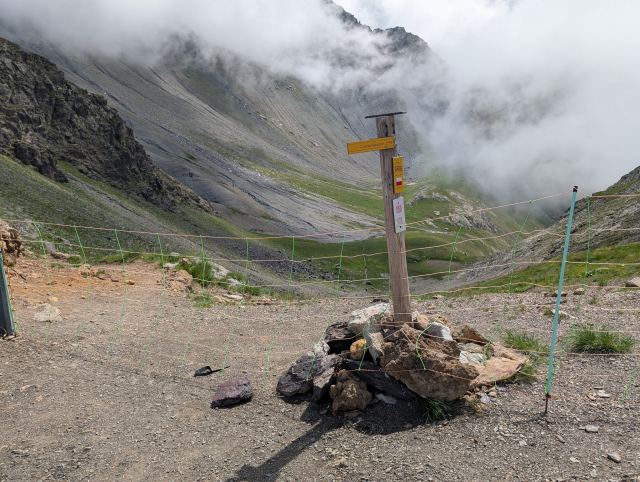
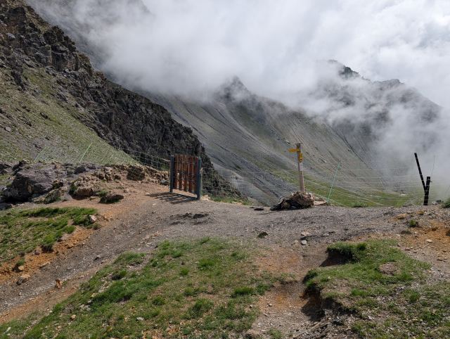
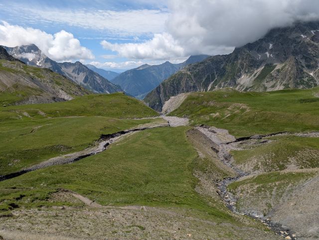
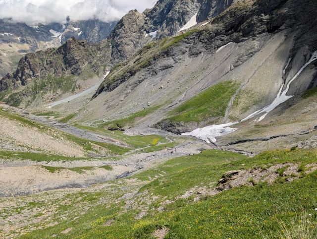
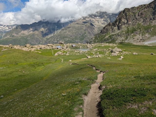
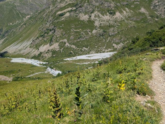
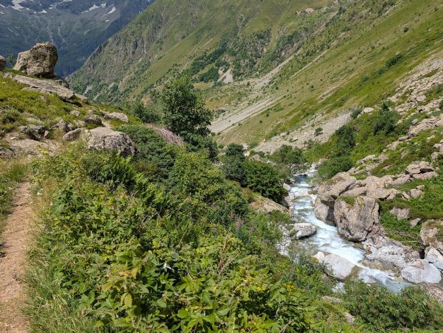
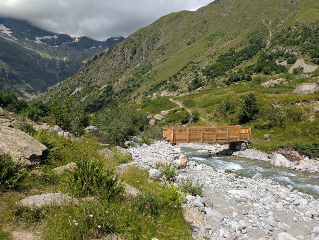
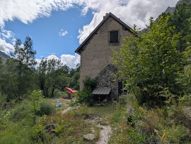
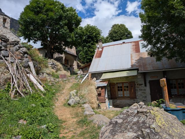
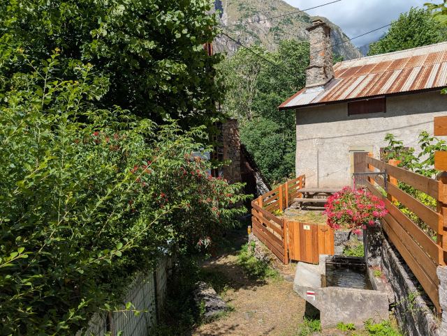
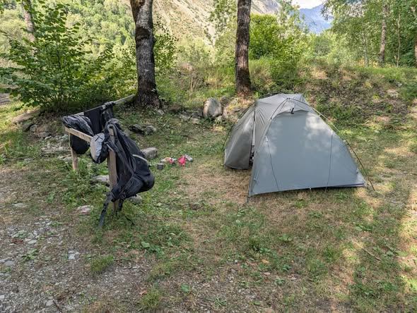
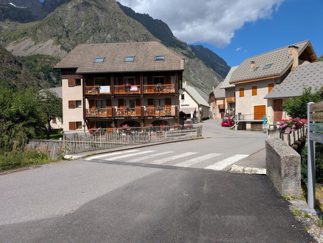
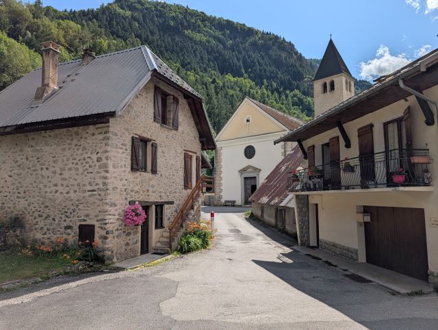
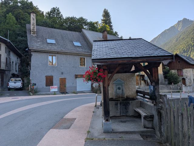
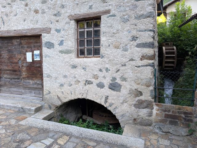
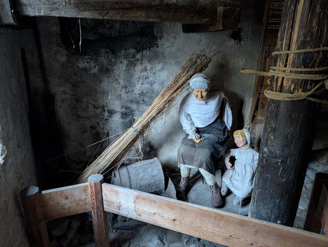
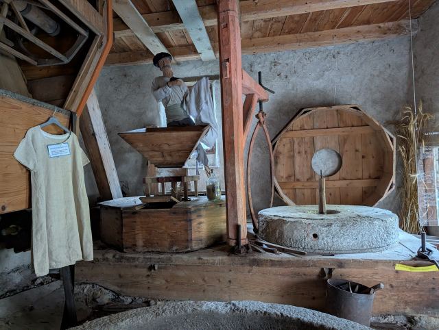
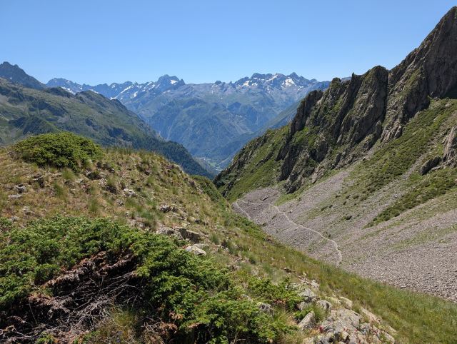
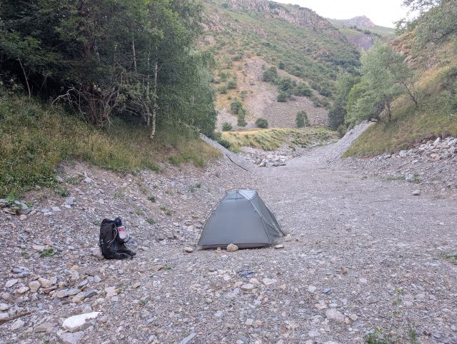
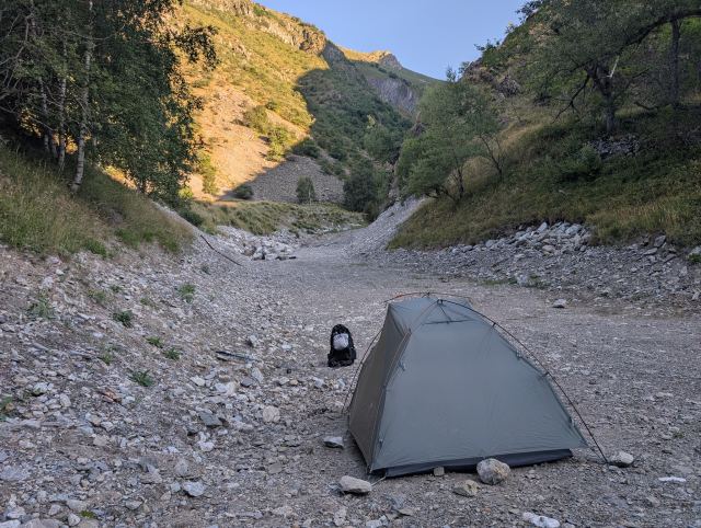
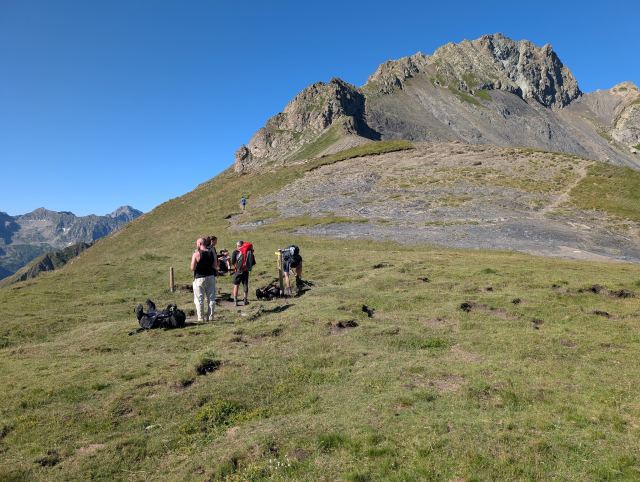
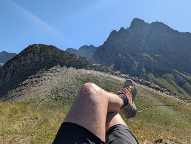
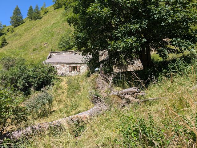
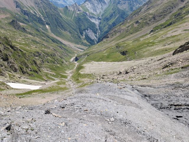
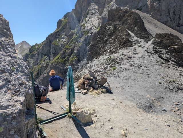
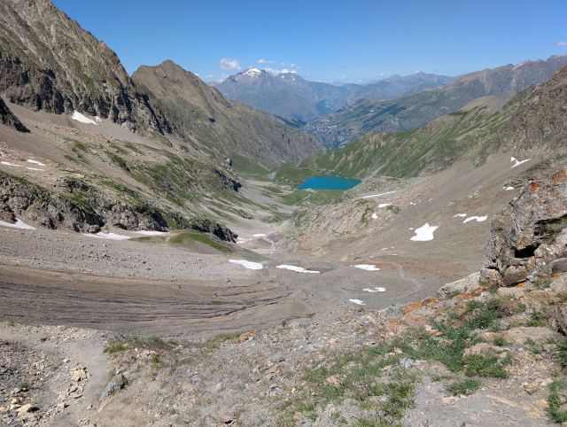
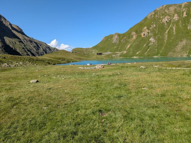
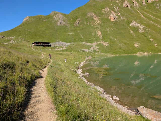
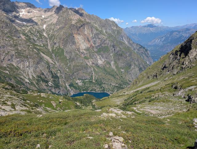
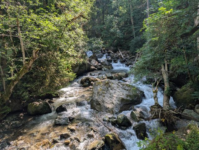
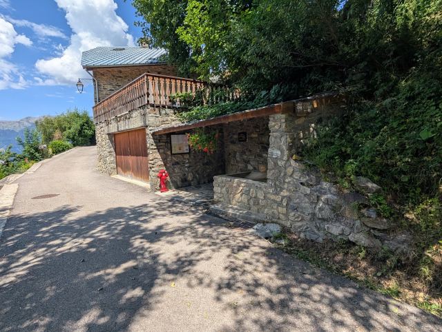
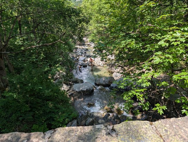
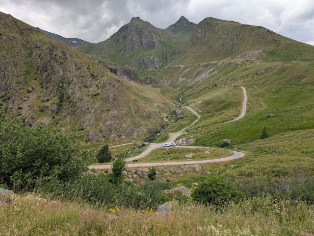
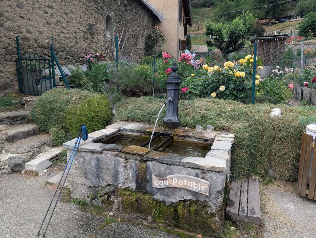
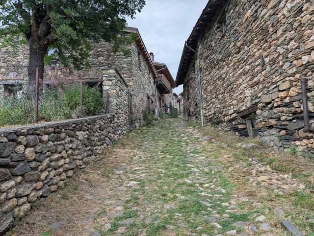
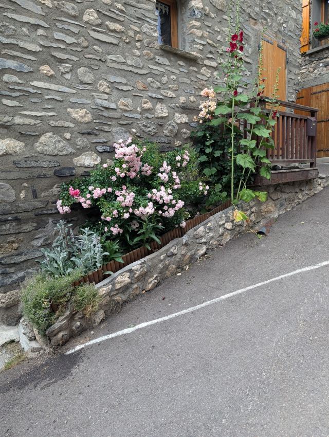
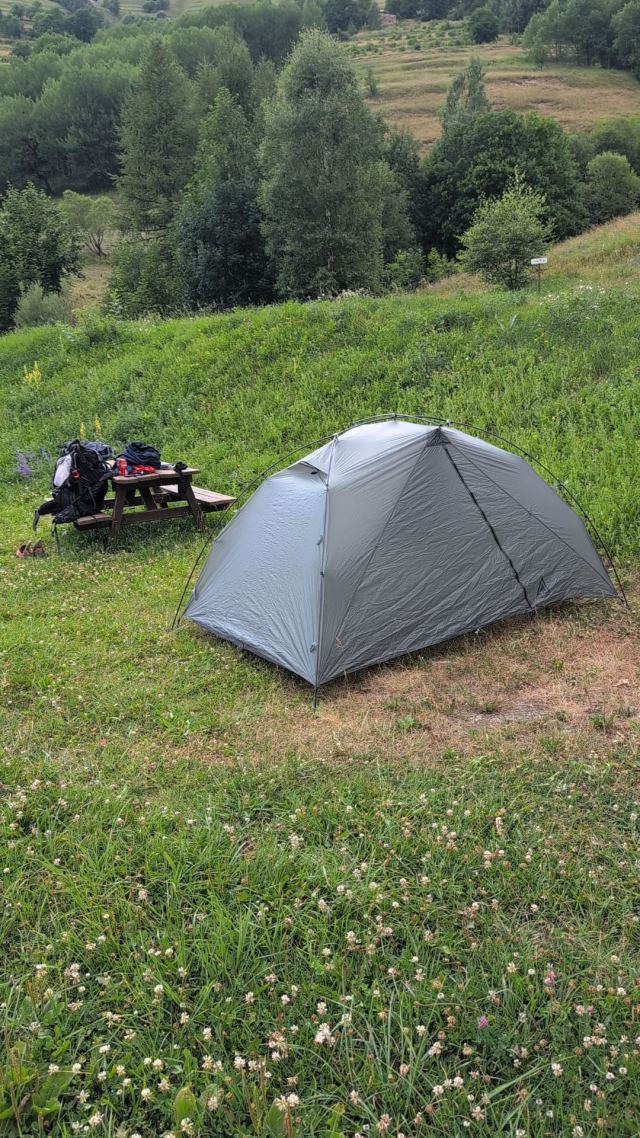
Just before I arrive at the pass, it starts to rain, but fortunately, it doesn't last long. Just as I start the descent on the other side, it stops. From the pass, it heads steeply downwards into the Vallée du Ferrand, and eventually, I wander through the small hamlet of Clavans-le-Bas. The route then goes down to an old mill before climbing steeply up to the village of Besse-en-Oisans. Here I buy some food before continuing up the valley to the campsite Le Gay, where I pitch my tent for the night.
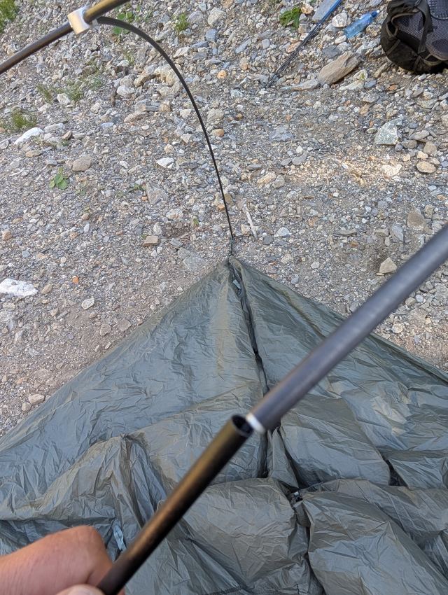
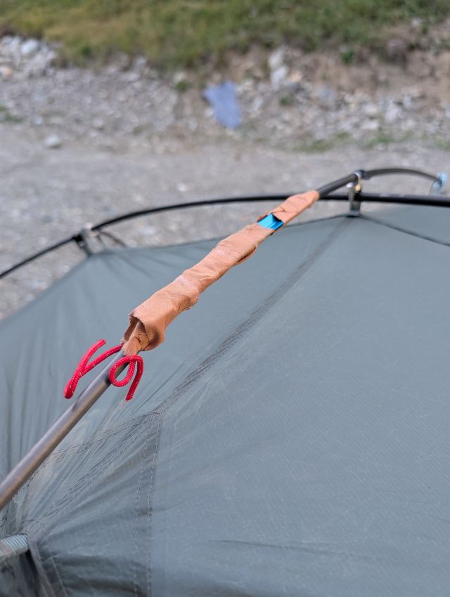
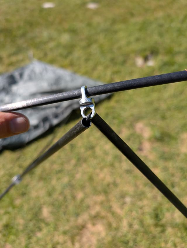
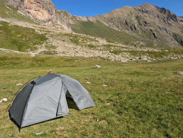
I knew that this trip is very demanding, and have therefore tried to prepare as well as possible. I have gone on many hikes with a heavy pack, as well as ramping up cardio and strength training. I have also gone back and forth on what gear to bring. Should I bring a large power bank? Do I need this many clothes? Is my tent, sleeping pad, sleeping bag, and backpack light enough? Well, it ended up with a new tent. 😄
There are several stages towards the end where it’s not possible to restock provisions, so I have to carry food for several days the whole way. My pack weighs about 13 kg without water, so I’m probably carrying 15 kg up the inclines here. Today's stage was both long and exhausting, and there was a period where I became uncertain if I would be able to manage this over so many days (approx. 10). I already notice wear and tear on my knees and hips, and my shoulders have taken quite a beating as well. However, it’s the heat that is the worst. I’m not used to hiking in the scorching sun and 25–30 degrees, and the fluid loss is significant. Simply put, it requires good discipline to get enough fluids along the way. You have to drink even if you aren’t thirsty, and I probably wasn’t good enough here, as I became very sluggish on the way up one of the toughest inclines. After a long water break where I took a couple of electrolyte tablets, it felt better.
When you go on such long hikes with demanding stages every day, it usually takes two to three days before the body adjusts to the strain. It will feel easier when that happens.
Total distance: 29.2 km
Maximum altitude: 2014 m.a.s.l.
Total ascent: 1865 m
Total descent: 1019 m
The stage on Strava:
https://strava.app.link/nm8bnGdwGUb
You can follow me on the trip here:
https://share.garmin.com/torgeirmork
📷 View photos in Google Album
There is a heatwave in France now, and it’s very noticeable in Le Bourg-d’Oisans as well. I therefore wanted to start the first stage as early as possible to avoid the heat during the steep initial climb. I hoped to reach the grocery stores before they closed at 20:00 so that I would be ready early the next morning. I made it by the skin of my teeth, but they had neither bread nor gas, so I still had to go out and shop before starting the next day. The grocery store opened at 07:00, while the sports shops that had gas didn’t open until 09:00. Oh well, it turned into a long and good breakfast while I waited. 😃
It was half past nine before I got started with the hike. The beginning follows a main road up the valley past the small settlement of Le Châtelard. The trail creeps up through the forest between the road that zigzags here, and the smell of clutches from heavy vehicles on their way up stings the nose. Eventually, I pass the settlement, where I take a small water and breathing break.
Then the hike continues through two hamlets before a short descent leads into the forest at Gorge de Sarenne. From here, a long but not very steep climb begins towards Col de Sarenne (1999 m.a.s.l.), which will be the highest point of the day. That is to say, there is a viewpoint located a bit higher up, which will be the actual peak. On the way up, I managed the feat of getting lost twice. The last navigational error turned into a long detour, but fortunately, I didn’t have to hike back up the steep incline I had already covered, as I found a path along the valley that met the trail I was supposed to be on. The reason for this is that I had somehow changed the trail in the app I use (Hiiker). When I figured this out, I downloaded the map again, and I obviously won’t be touching those settings anymore. 😄
Just before I arrive at the pass, it starts to rain, but fortunately, it doesn't last long. Just as I start the descent on the other side, it stops. From the pass, it heads steeply downwards into the Vallée du Ferrand, and eventually, I wander through the small hamlet of Clavans-le-Bas. The route then goes down to an old mill before climbing steeply up to the village of Besse-en-Oisans. Here I buy some food before continuing up the valley to the campsite Le Gay, where I pitch my tent for the night.
I knew that this trip is very demanding, and have therefore tried to prepare as well as possible. I have gone on many hikes with a heavy pack, as well as ramping up cardio and strength training. I have also gone back and forth on what gear to bring. Should I bring a large power bank? Do I need this many clothes? Is my tent, sleeping pad, sleeping bag, and backpack light enough? Well, it ended up with a new tent. 😄
There are several stages towards the end where it’s not possible to restock provisions, so I have to carry food for several days the whole way. My pack weighs about 13 kg without water, so I’m probably carrying 15 kg up the inclines here. Today's stage was both long and exhausting, and there was a period where I became uncertain if I would be able to manage this over so many days (approx. 10). I already notice wear and tear on my knees and hips, and my shoulders have taken quite a beating as well. However, it’s the heat that is the worst. I’m not used to hiking in the scorching sun and 25–30 degrees, and the fluid loss is significant. Simply put, it requires good discipline to get enough fluids along the way. You have to drink even if you aren’t thirsty, and I probably wasn’t good enough here, as I became very sluggish on the way up one of the toughest inclines. After a long water break where I took a couple of electrolyte tablets, it felt better.
When you go on such long hikes with demanding stages every day, it usually takes two to three days before the body adjusts to the strain. It will feel easier when that happens.
Total distance: 29.2 km
Maximum altitude: 2014 m.a.s.l.
Total ascent: 1865 m
Total descent: 1019 m
The stage on Strava:
https://strava.app.link/nm8bnGdwGUb
You can follow me on the trip here:
https://share.garmin.com/torgeirmork