20.05.2026
Day 1: Calenza to d'Ortu di Piobbu
⬇ Download GPX file
So, this year's big hiking project is underway: the GR20 across Corsica.
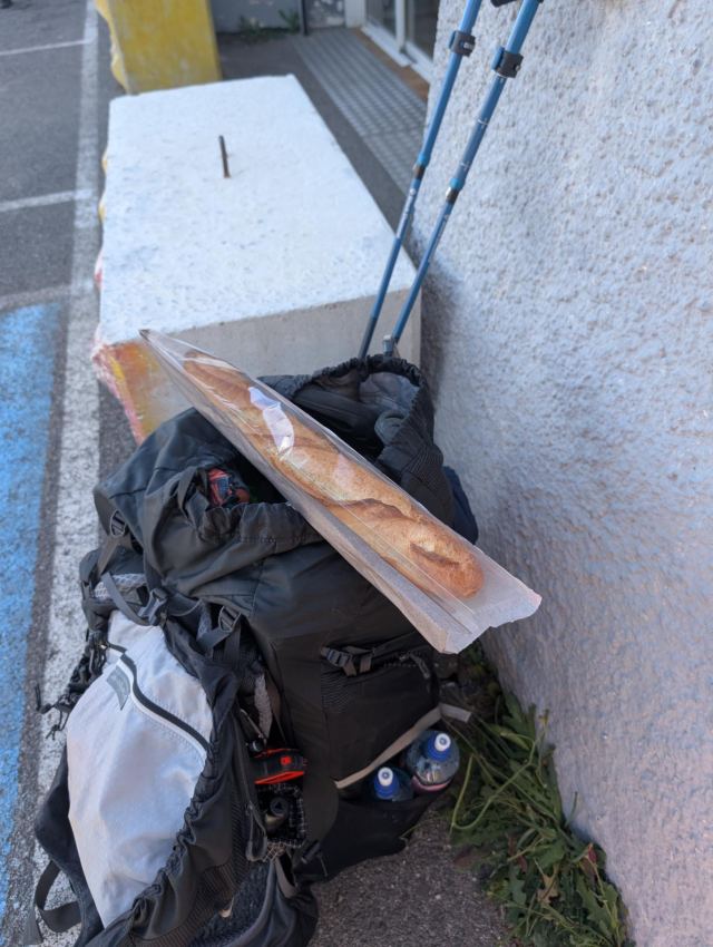
I arrived in Corsica yesterday and stayed overnight in an apartment I had rented from a nice couple in Calenzana. Although I managed to buy most of what I needed the day before, I chose to wait until the shop opened the next day to get some fresh bread. The shop opened at 8:30 AM, and 10 minutes later I was on my way.
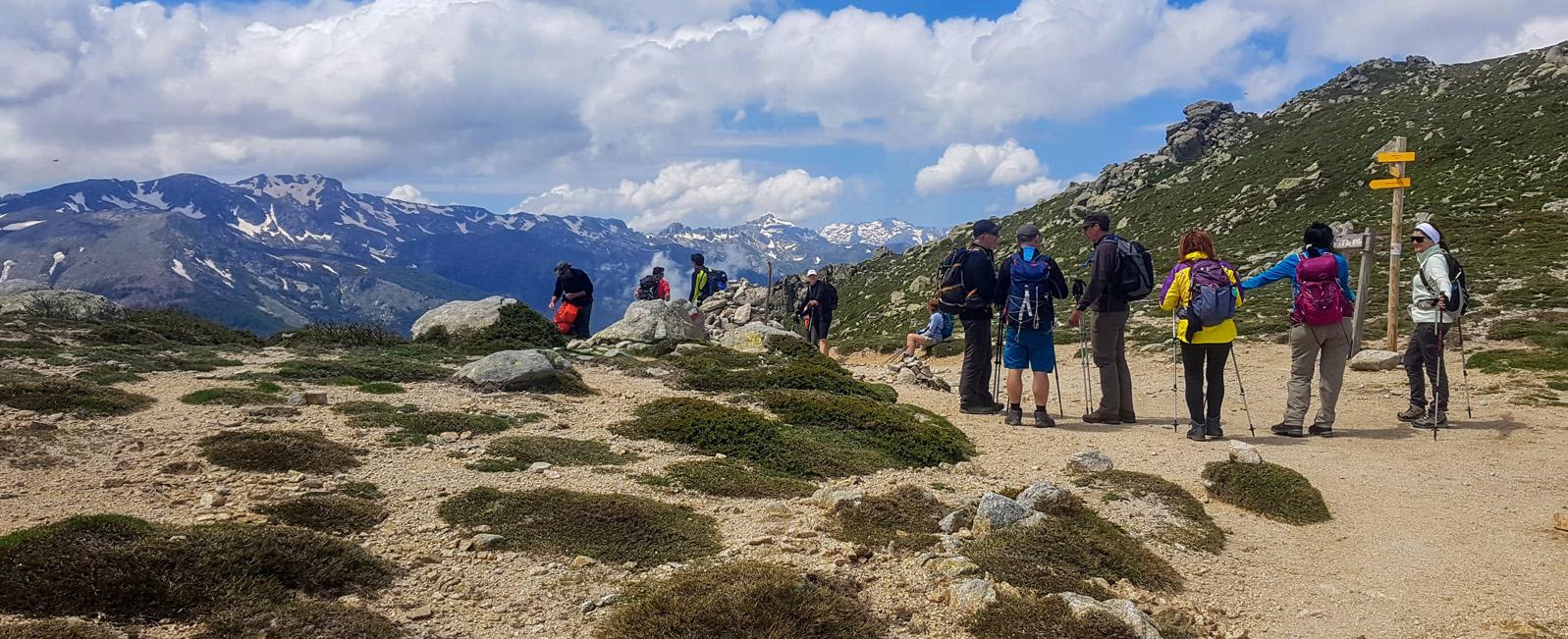
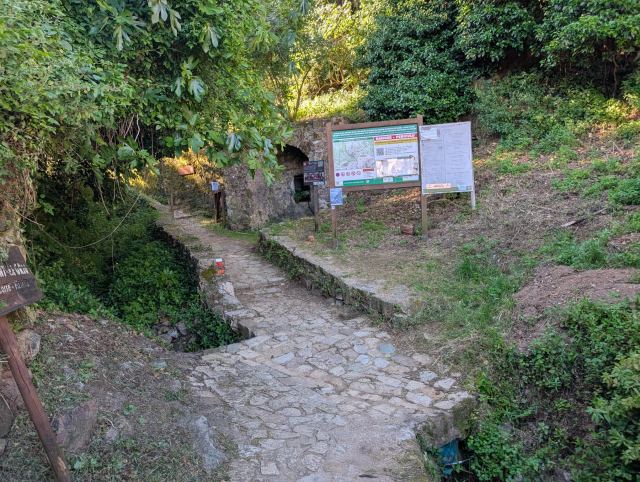
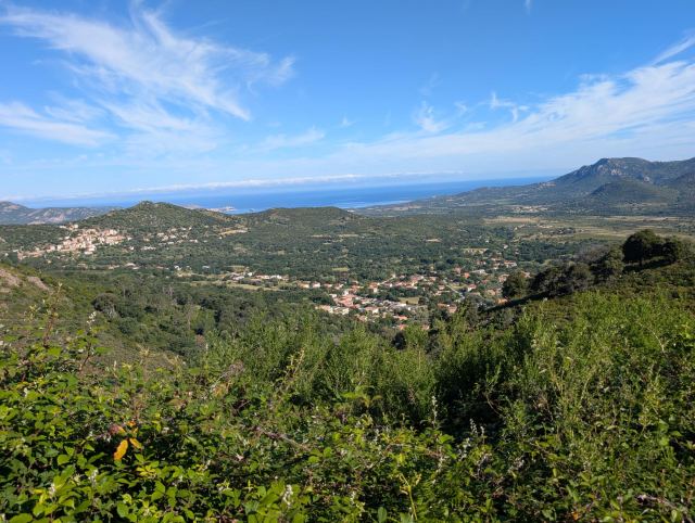
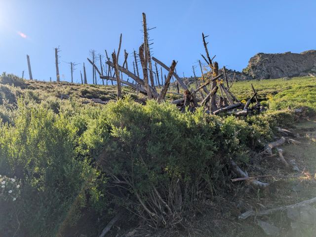
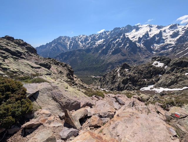
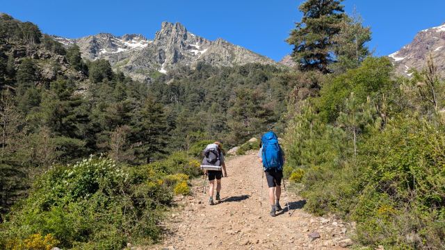
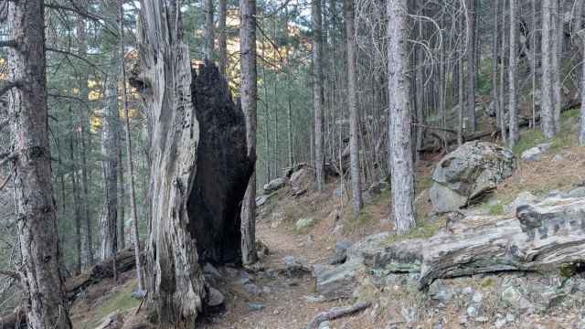
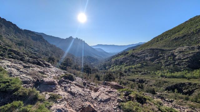
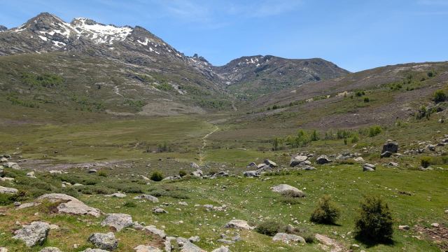
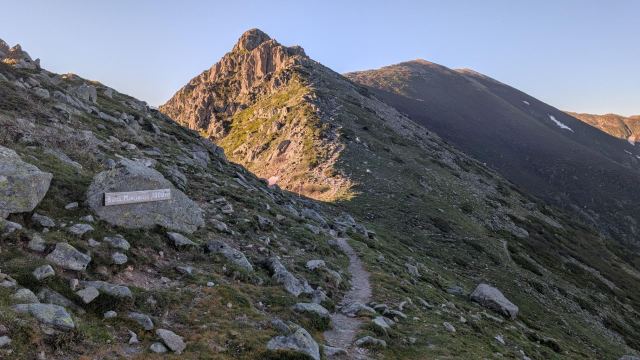
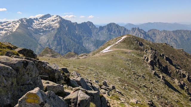
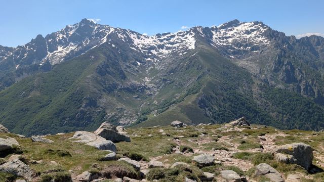
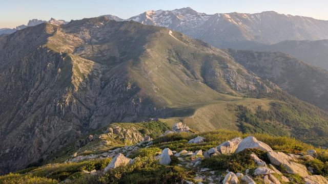
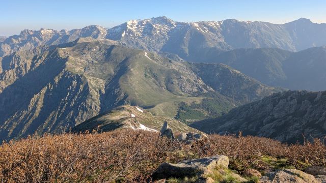
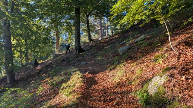
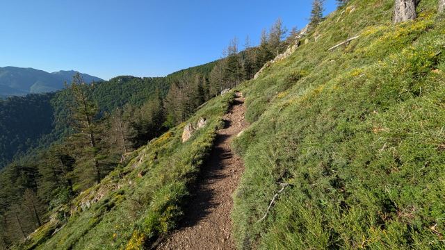
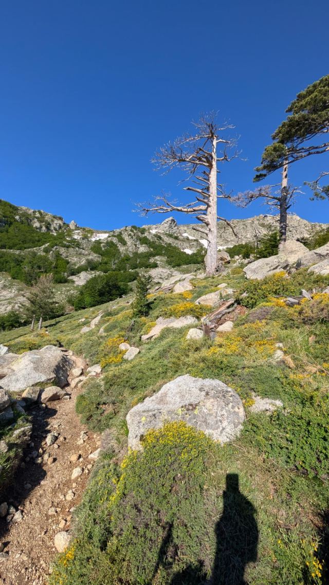
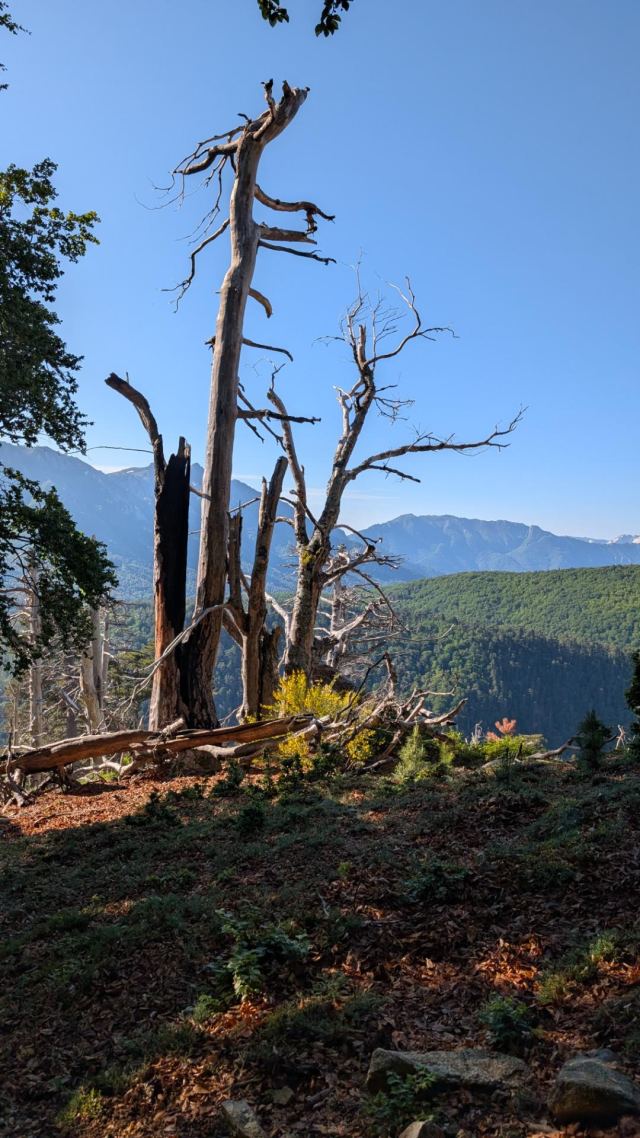
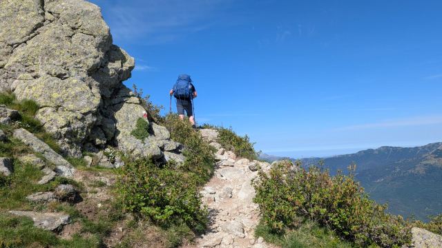
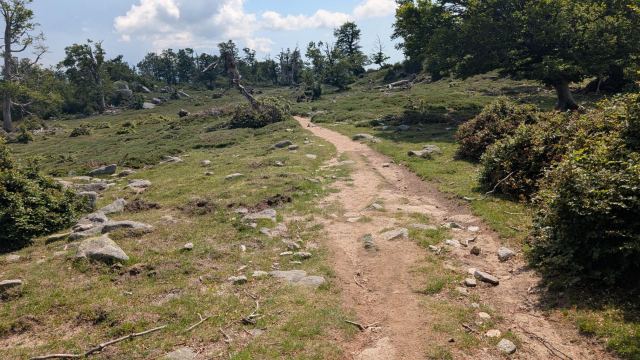
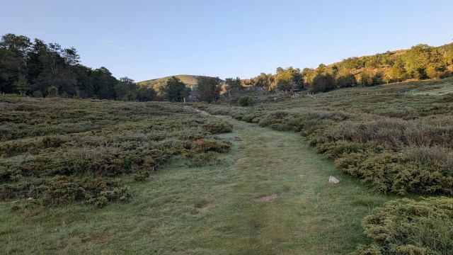
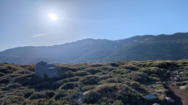
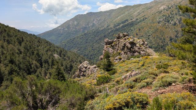
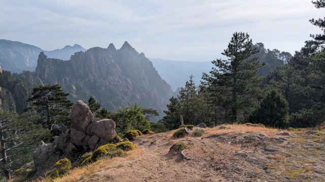
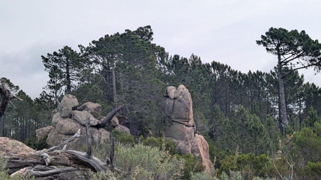
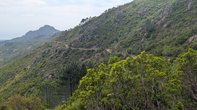
This trail is known for being tough, and having completed the first stage, I'm starting to understand why. It starts off fairly easily with a gentle incline from Calenzana. The path winds its way up the mountainside without being too steep. More and more of the surrounding area is revealed as I gain altitude, and I am now starting to see the high mountains I will be crossing in a few days. This area is still marked by a large forest fire that took place in 1982, and many of the burnt stumps stand like statues along the mountainside.
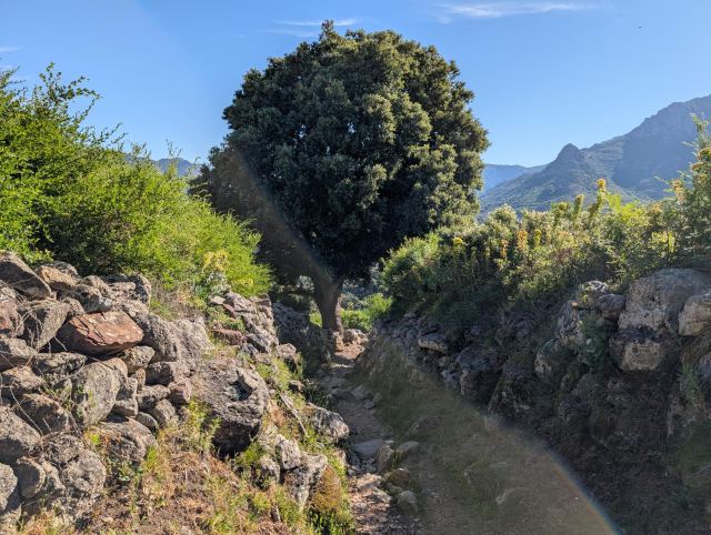
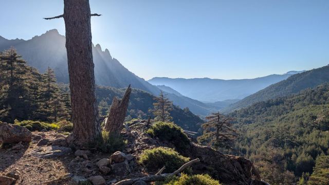
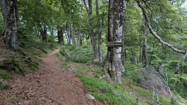
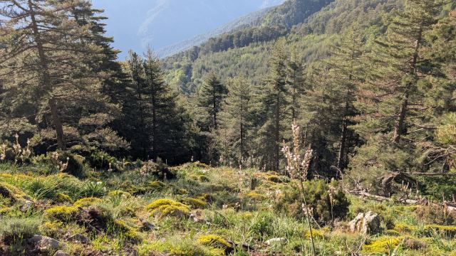
After 2.5 kilometers, I reach the pass, Bocca di u Ravalente (630 m), where I take a quick breather and enjoy the view down toward Calenzana and up toward Bocca u Corsu. The path now winds southeast through lush terrain and eventually begins to climb more steeply in zigzag turns through a forest of Corsican pines, the Laricio pine.
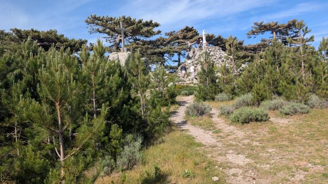
After walking through a few such turns, I reach the pass Bocca à U Saltu (1,250 m) just as I emerge from the forest. I take a short snack break here with some French hikers who are on their way down to Calenzana. They were on a day trip and had come up from the valley on the other side of the pass.
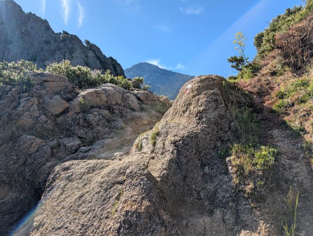
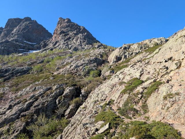
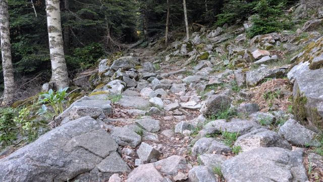
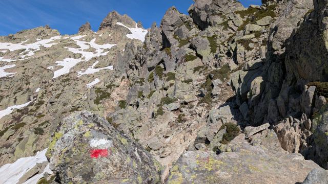
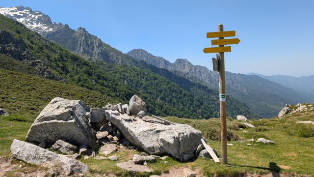
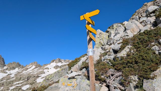
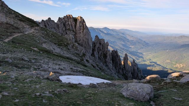
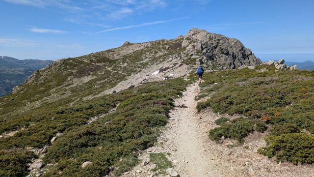
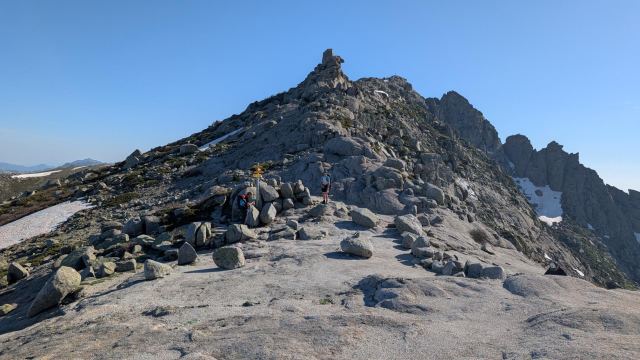
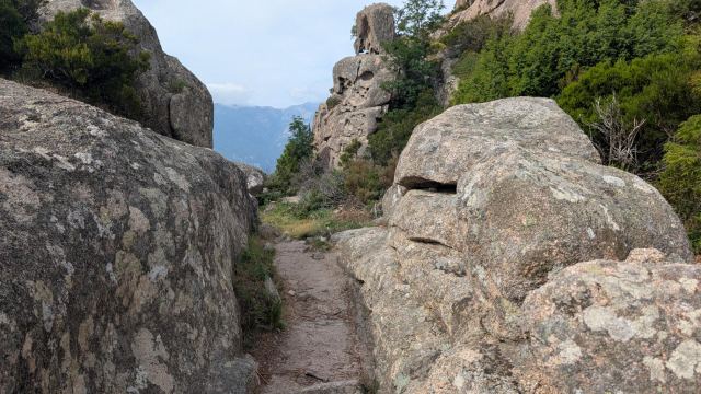
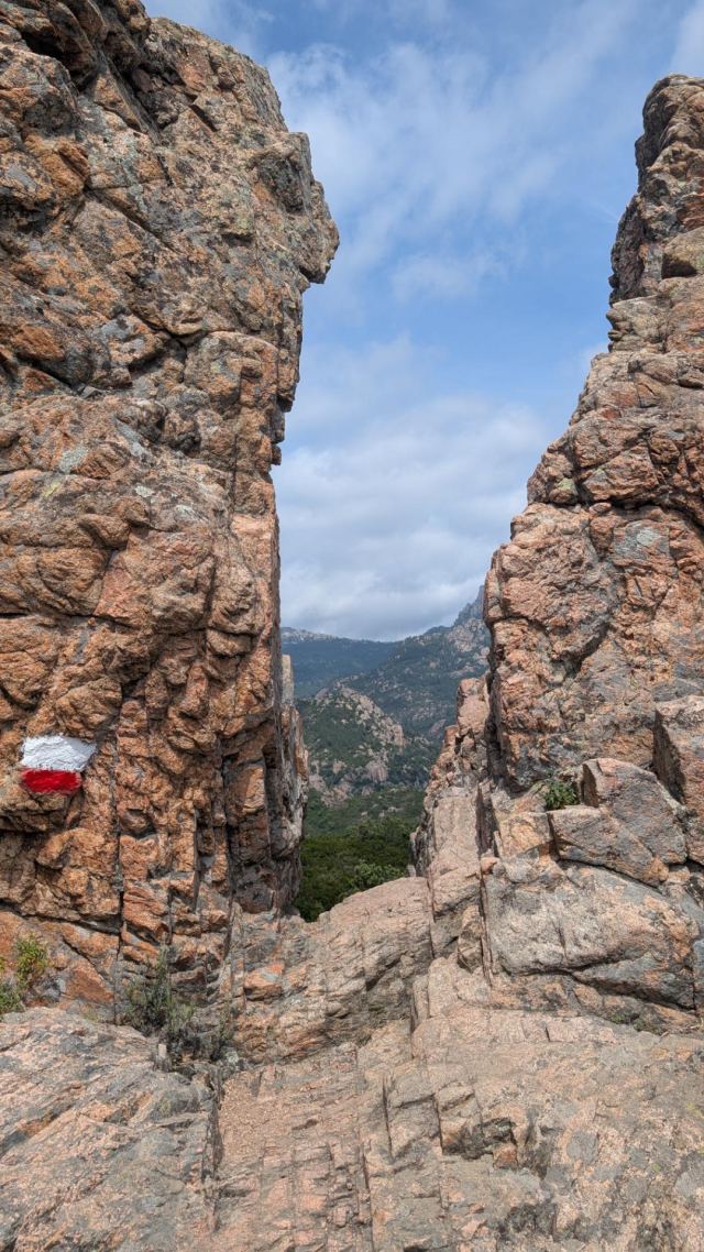
I am not going down into this valley, but continuing south to follow the Bois de la Fratte ridge located just above me. The path first goes slightly down under some rock formations before climbing steeply up between cliffs and stones. Here, it becomes more or less scrambling over rock and large boulders. Some sections are secured with chains to make it easier to climb up (or down). Following the markers here is important to find the easiest route.
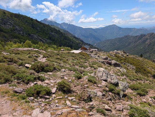
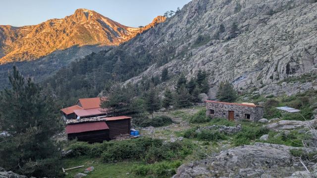
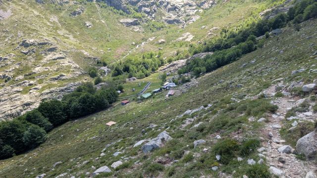
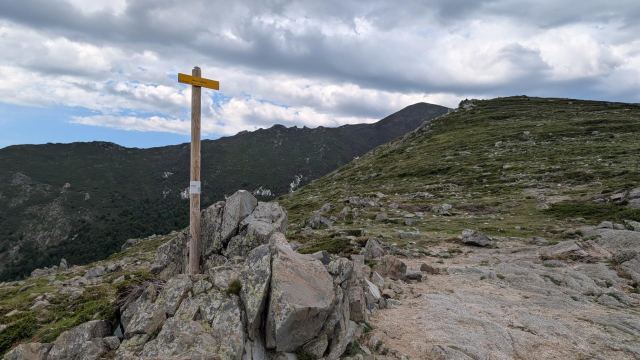
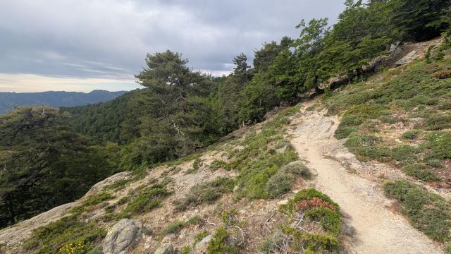
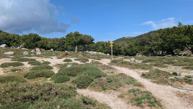
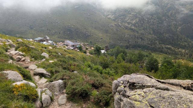
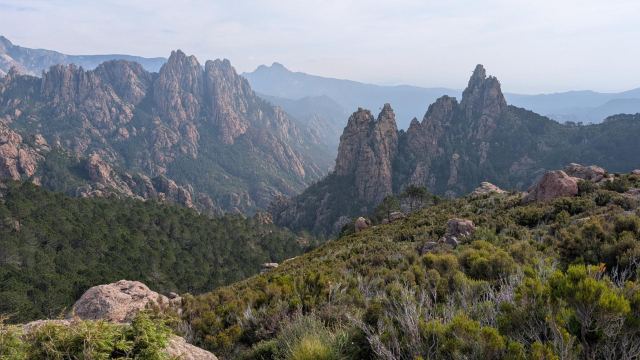
Fortunately, this difficult section is not that long, and you reach a more easy-going path again. The trail continues in zigzag turns before I end up walking in a gully of eroded rock until I reach the pass Col de la Bocca à U Bassiguellu (1,486 m). The trail climbs a little more before reaching the ridge and exiting the forest. The last stretch goes east along Crête du Fucu, and now I can see the Refuge de l’Ortu di u Piobbu (1,570 m) for most of the way around the valley basin I have to follow.
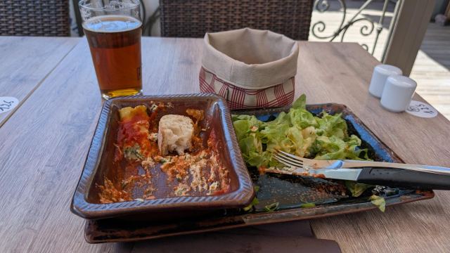
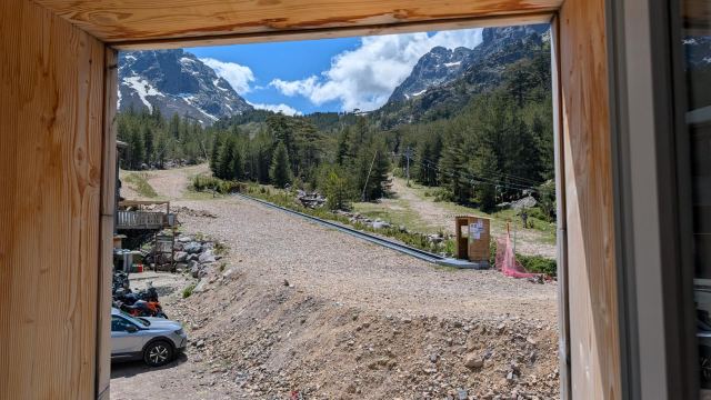
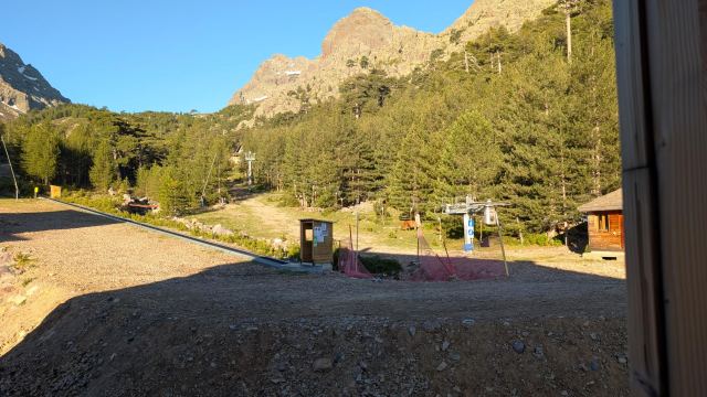
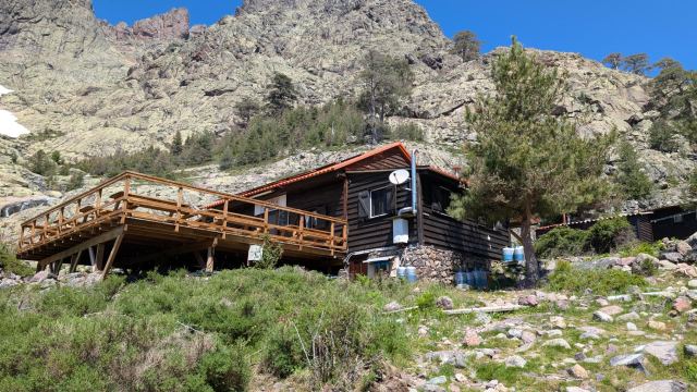
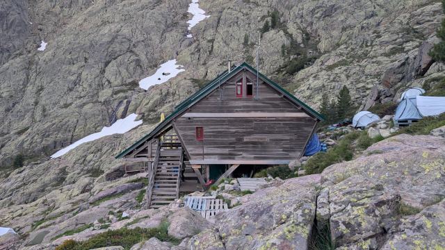
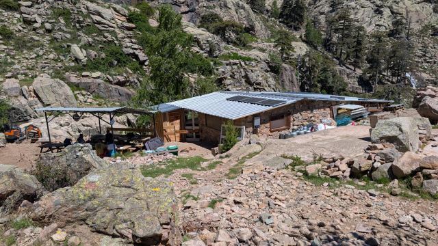
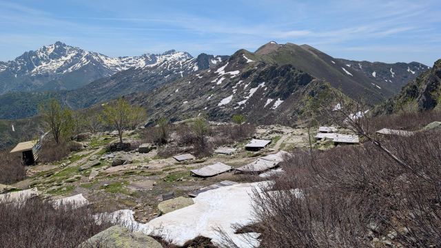
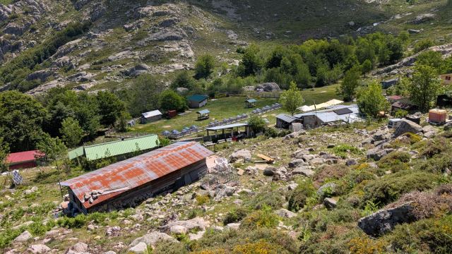
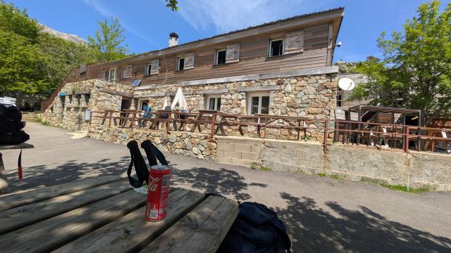
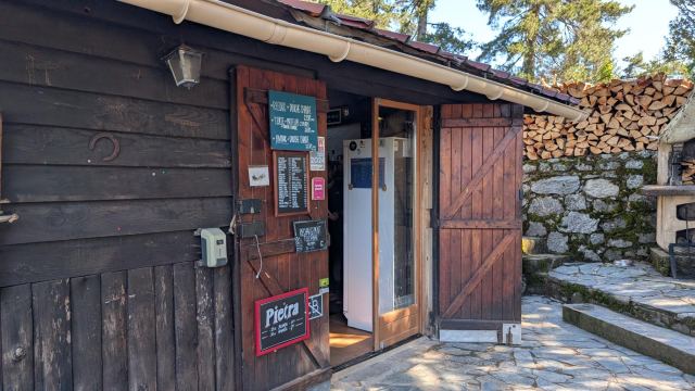
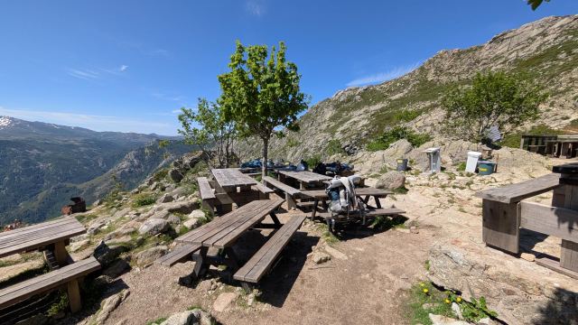
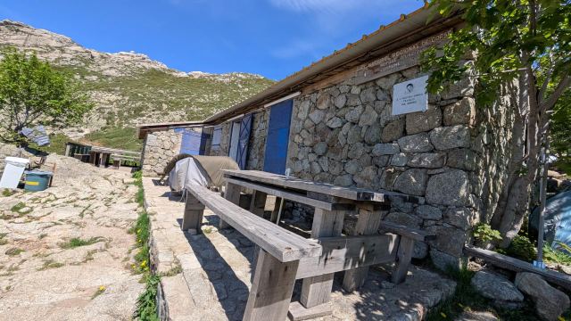
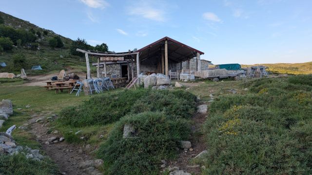
At the refuge, they are in the process of setting up a new cabin after the previous one burned down in 2019. Nevertheless, most facilities are available here: toilets, showers, and an outdoor kitchen. There is also an improvised restaurant/eatery where you can order dinner for the evening or a single dish on the side. They also have dry food, fruit, and cold drinks that can be purchased to take with you or enjoy on-site. I ordered a simple couscous dish, a beer, and a Coke. It tasted amazing after a long and tiring day.😄
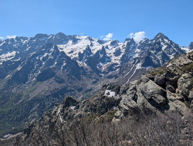
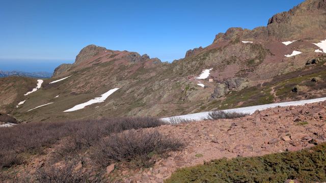
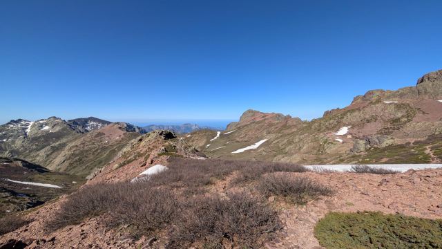
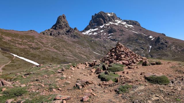
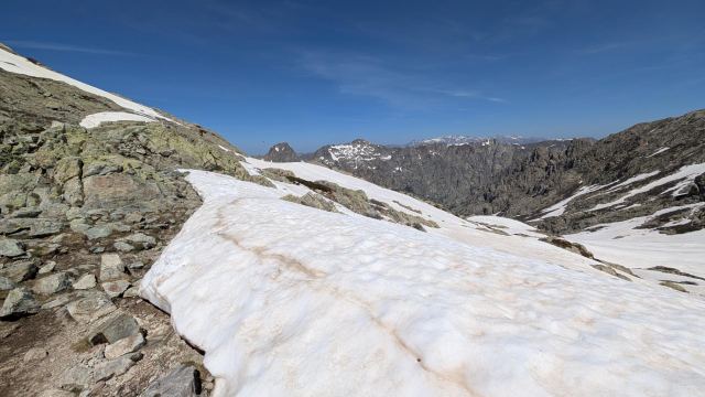
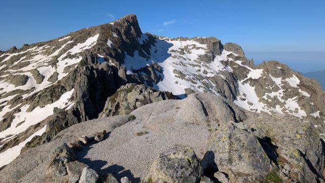
In the weeks before I traveled here, it has been very cold with a lot of precipitation in Corsica. All this precipitation has fallen as snow in the mountains above 1,800 meters. There is usually a fair amount of snow leading up to some of the northern passes well into the summer, but now it has been full-blown winter there.
Among other things, this has made several of the highest mountain passes dangerous to cross, even with proper equipment. If the guides at the huts advise against hiking, I will likely follow those recommendations. There is one particular stage that probably won't be possible to complete when I get there: stage 4, from Haut Asco to Refuge de Tighjettu.
During the day, I have met several hikers who have the same goal as me. Some are updated on the snow situation and have equipment, while others do not. Let's hope it goes well for everyone.
I am eating the dinner I brought with me today to lighten my pack a bit. It looks like there is plenty of food to buy at the huts anyway.
All in all, it was a fairly decent stage and a good start to the trip, where I feel in good shape and my body is functioning well. Tomorrow will be a slightly tougher test of strength with a lot of steep climbing and scrambling.
Follow me live here:
https://share.garmin.com/torgeirmork21.05.2026
Day 2: d'Ortu di u piobbu to Refuge de Carozzu
⬇ Download GPX file
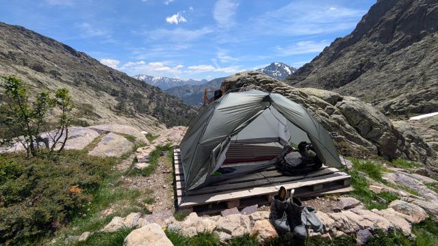
Eventually, many hikers arrived at Ourtu di U Piobbu, and several tents were set up near mine. Most were young French couples, and they weren't exactly quiet, so I figured they would keep it going for a while. But before ten o'clock, it was quiet in all the tents around me. Great, because I had set my alarm for 6 a.m. to get an early start.
I was a bit slow getting out of my sleeping bag and took the time to boil coffee for breakfast. The breakfast, 3 slices of rye bread with cheese that I bought when I arrived in Calenzana, still tasted good. I could hear a lot of activity outside the tent now.
At ten to seven, I had packed my backpack inside the tent and was on my way out to take the tent down. I was the only tent left in the camp by then. The others had already left – I have to say I was surprised 😯
I filled my water bottles as I left the camp and headed south toward the climbs that awaited.
After half an hour, I ran into a young couple I met the day before, Sam and Zhengwei. Sam is originally from the Netherlands and Zhengwei from China, but they live together in London. They had stopped to take off some layers now that the sun was starting to get warm. We exchanged a few words before I continued. Shortly after, I met Florian from Germany, whom I also met the day before. He hadn't had a good night and had eaten very little. He said he couldn't stomach any more food. Not a good starting point for a demanding hike. I advised him to take his time and not to rush.
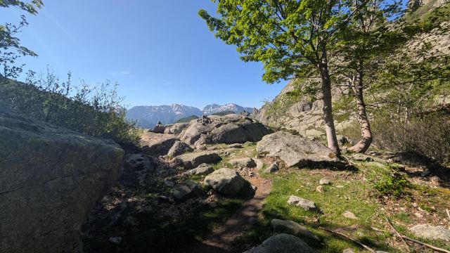
The day's stage is no more than eight kilometers, but it is a steep climb and difficult terrain the whole way. It starts with an ascent of about a hundred meters before descending the same amount along a valley floor. Then, a steep climb begins, first up smooth-scoured rock, and then over large boulders up to the pass Bocca di Pisciaghja at 1940 meters.
From there, it continues up to the stage's highest point at 2020 meters at Capu Ladroncellu. From here, it becomes very demanding as the path runs along the mountain range in very exposed terrain. In several places, you have to scramble up narrow gullies, and below several of these, it is a long way down.
Here I met a young French man. There was a section ahead of him that he didn't dare to walk alone, so he was waiting for other hikers to join. It is a steep and narrow gorge where the drop below is very steep. If you have a fear of heights, I understand why you would struggle here. I took his backpack and poles up the climb so he could focus on the scrambling.
It goes up and down along the mountainside with many similar challenges before I finally reach the pass Col d’Avartoli.
Now, a 600-meter descent awaited. The trail zigzags downward with several steep sections where you have to slide down with your pack behind you. There is also a lot of loose rock on the path, and you have to be focused on where you place your feet to avoid slipping. This made it a very exhausting part of the stage with already tired legs. Down in the valley, you notice the heat more, and I see now that I have become quite sunburnt on both my arms and calves.
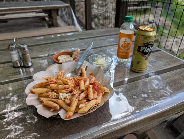
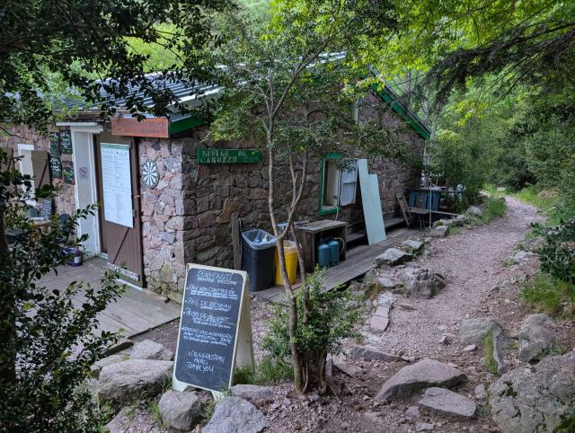
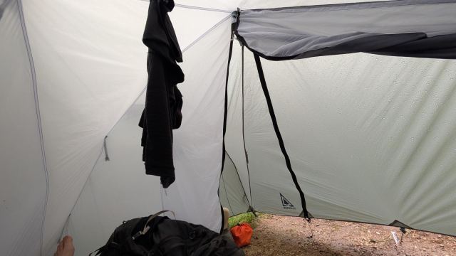
I finally arrived at the hut and was assigned a spot for my tent. I found a good spot inside the woods down by the river. I pitched my tent and hung my clothes to dry before I went to order food. It was penne pasta in tomato sauce, a mandarin soda, and a beer. The food was just okay, but the soda and beer were good 😄
There is almost no mobile coverage in the mountains in the north of the island, so the log isn't being updated as often as I had hoped. It will be sporadic when I see there is coverage on the mountain peaks. Photo uploading is just not an option; that will have to wait until I stay at a hotel. The first hotel will be tomorrow, Friday, in Haute Asco. Looking forward to it.
📷 View photos in Google Album
22.05.2026
Day 3: Refuge de Carozzu to Haut Asco
⬇ Download GPX file
I turned in early and set the alarm for 5:40 to get an early start. It was warm last night, and I lay for a long time without a sleeping bag. The rushing sound of the river just below ensured that I slept well nonetheless.
I checked my watch as I left the refuge. It was only quarter past six. I hadn't been that efficient in the morning, so I was a bit puzzled by this. I later discovered that my phone was on winter time because it lacked a signal.
Today's stage is only 5 km, but it is considered to be very demanding. The guidebook states that one must allow 6 hours, which is more than an hour per kilometer. When I was planning this trip, I thought about combining this stage with the previous one of 8 km to save time and an overnight stay. I am glad I didn't. Completing both of these with a heavy pack in one day would have been extremely grueling. It is possible I could have managed it, but my body would have been completely destroyed.
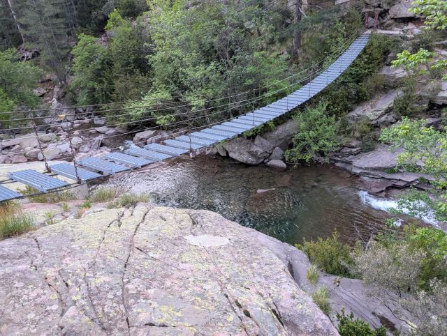
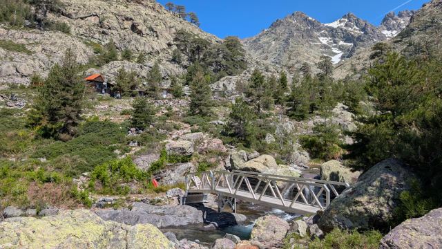
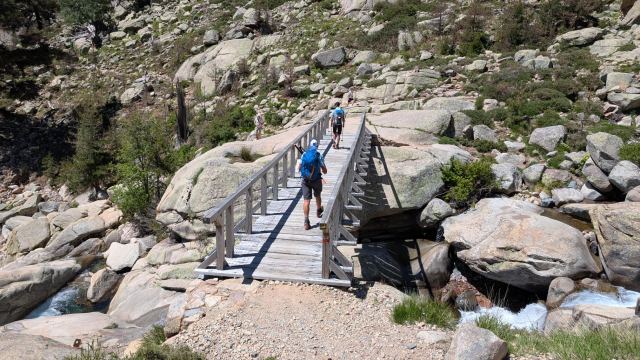
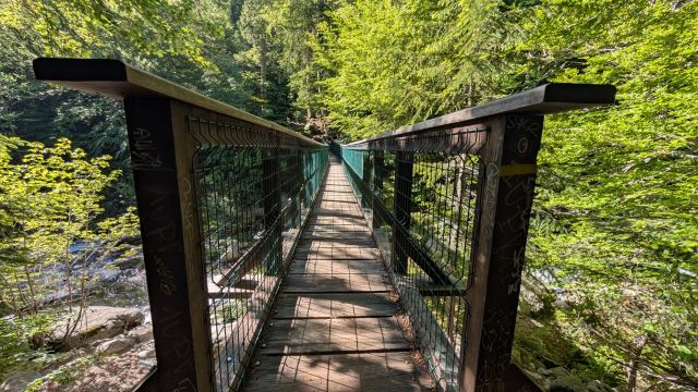
The stage starts with a descent of 50 meters down to the Spasimata river. Here, I cross a very wobbly suspension bridge. I thought about filming the walk across, but it was impossible. Here, you just had to hold on tight.
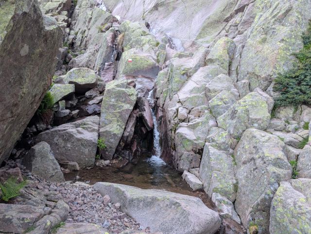
After the bridge, it starts with a steep climb on bare rock. In several places, it is secured with chains and cables to hold onto if it is wet, but they are also a great help when it is dry. Half an hour into the stage, I pass Sam and Zhengwei once again. It is almost becoming a tradition. They have stopped to eat breakfast. We talk a bit about the next stage and the snow conditions there. It is the most demanding on the entire GR20 and can be dangerous to hike without snow. Right now, there is a lot of snow there. They really want to do it anyway and are thinking of hiring a guide. I am in the thinking phase myself and am not quite sure what to do, but if they can arrange a guide, I will join.
I say goodbye to the pair and continue the climb. The terrain soon changes, becoming more scree and scrubland. It is no less steep, however. It takes its toll to walk such a continuous ascent with a heavy pack on your back. With full water bottles, the pack probably weighs 18 kg. I try to keep my heart rate down, but it eventually goes so slowly that I might as well take a break. I am now climbing along a rocky crag through the scrub and can hear people above talking. I set a goal to reach that spot before I stop.
Up on the crag, the terrain flattens out, and you can now see what remains of the climb. There is snow on the steep ascent toward the pass, and I can see several hikers traversing their way toward the top. I take a good break here and eat something while I watch those going up. While I am sitting there, the pair arrives again. They also take a break here and discuss whether they should use crampons for the ascent. I said I would see how it looked, but that it might be smart to try them now if they hadn't used them before.
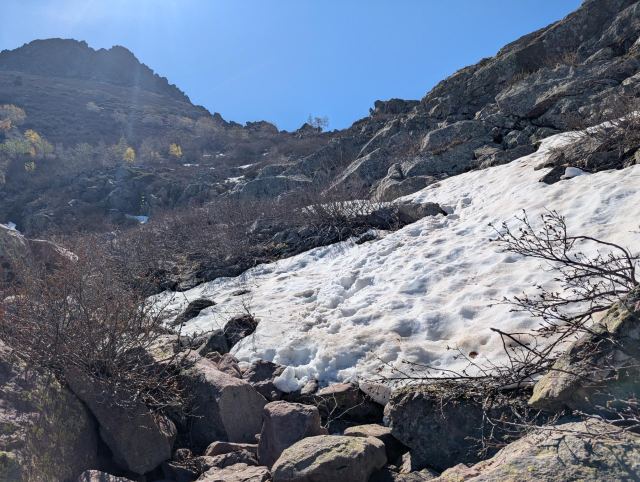
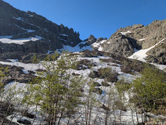
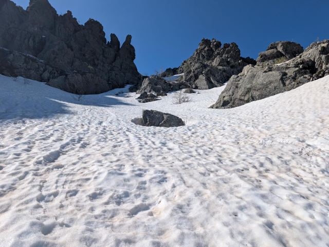
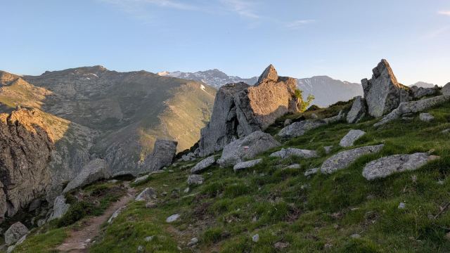
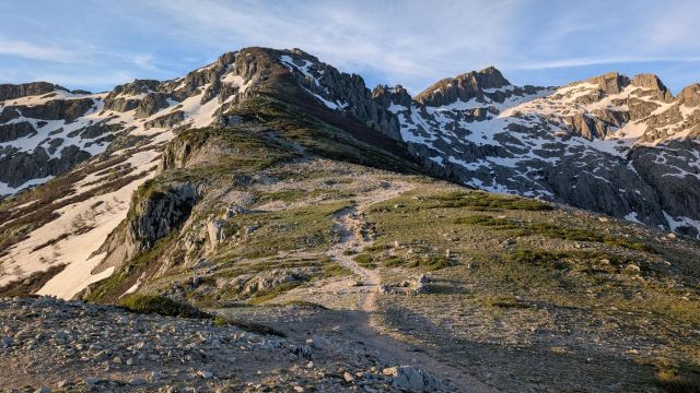
I threw on my pack and continued up toward the ascent where the snow lay. The snow was soft and the tracks from previous hikers were easy to walk in, so I skipped the crampons. Within 15 minutes, I had climbed up to the pass. Bocca di a Muvrella, at 2000 meters, was the first pass of the day. From this pass, the trail goes steeply down 100m and then follows the mountainside in rugged terrain to the next pass, Bocca di Stagnu. This pass is the stage's highest point at 2010m.
From here, I see down to today's destination, Haute Asco. It doesn't look that far down, but it takes me 2 hours. The descent is technically difficult, and it is impossible to maintain any real speed. At quarter past twelve, I arrive in Haut Asco and can check into the hotel I booked😀 Though I had to wait an hour, so I had to grab a beer on the terrace in the meantime😆
After showering and washing my clothes, I head over to the refuge in Asco to ask about the conditions on the next stage and the possibility of hiring a guide. Sure enough, Zhengwei turns up here on another errand. She tells me she has spoken to a guide and that he can guide us over Monte Cinto for €75 per person, but there must be a minimum of 6 people to do it. Alternatively, we can pay the equivalent amount if we are fewer, i.e., €450. We agree to ask others at the hotel and the refuge if they would like to join, but everyone has decided to take the bus. The guide has also asked around without finding more people, so he has to cancel it. Hiking without a guide here with the current conditions is not recommended, so we decide to book a seat on the bus. The bus will take us to Calasima, which is about a 2-hour walk from Tighiettu, our destination for tomorrow.
This was, of course, a bit of a letdown, as this is one of the highlights of the trip. But there are supposedly more challenges on the next stages, so I think we should be happy if we manage to complete those.
Follow me live here
https://share.garmin.com/torgeirmork23.05.2026
Day 4: Calasima to Refuge de Tighjettu
⬇ Download GPX file
Since we couldn't get a guide over Monte Cinto, we (myself and the young couple) scrapped the next stage and reserved a spot on the shuttle bus that runs between Haut Asco and the village of Calasima on the other side of the mountain.
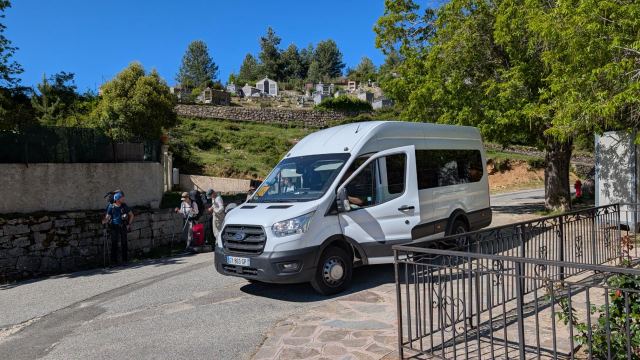
There is only one minibus a day, and it leaves from Asco at 8 a.m. I knew many others had planned to skip this stage, so I was anxious about whether there would be room for everyone. A Frenchman alerted me that the bus was ready, and we hurried inside and secured seats. Shortly after, it was full and several people were left behind. There were people in every seat, and backpacks were stacked in every empty space in between. It was impossible for anyone in the back to get out without someone removing the bags from the outside.
The trip around the mountain took two hours on very narrow and winding mountain roads. It's easy to see why some got carsick during the journey.
Eventually, we arrived in Calasima and were let out of the overcrowded bus. Now we could begin the somewhat shortened stage to Tighjettu. By then, it was 10 a.m., and the sun was warming up nicely here at altitude. Calasima is, by the way, the highest-lying village in Corsica, at 1,100 meters above sea level.
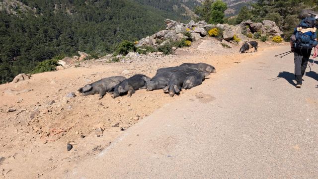
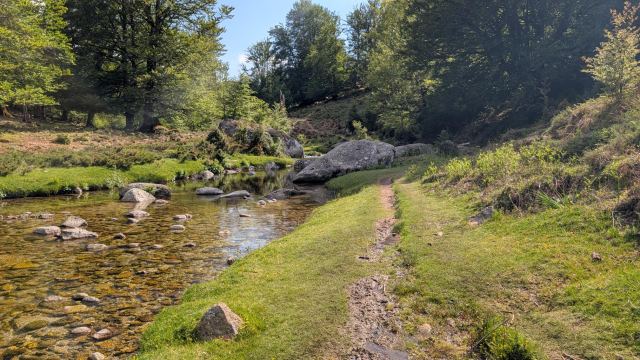
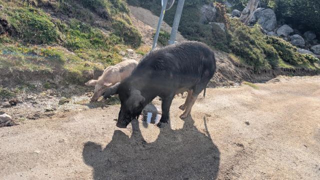
To get back on the GR20, we have to follow the road we arrived on by bus until it ends. I walk with Sam and Zhengwei at the start. Along the road here, pigs are dozing in the sun. They don't seem to care much about us. Where the main road ends, a gravel/cart track begins, continuing some distance uphill to a turning point. From here, the path continues with a gentle ascent for 2 kilometers until it reaches Refuge Ballone. On the way there, Sam discovers a great swimming hole and they stop to bathe. I continue alone towards Refuge Ballone. Here, I meet up with the group of young French hikers who had gone ahead from Calasima.
They have decided not to go up to Tighiettu but to continue on to the next stage instead. Tighiettu is 350 meters higher in elevation and 1.5 km further north, and they would have to walk back the same way on the next stage. I get it. Having booked and paid for several hotels further south, I cannot combine a stage, as everything would be shifted and I would lose my accommodations.
I say goodbye to them and continue up towards Refuge Tighiettu in the heat. It gets gradually steeper on the rocky path up the valley. I spot the refuge early on, positioned on a grassy ledge up the mountainside. It’s not that far away, but it still becomes very heavy to negotiate the climb up there. I feel that my body isn't functioning optimally, and I get a high heart rate as soon as I climb over any high obstacles. I don't know if it's the heat or if my body just isn't up to par. I hope it was just a bad day.
The next stage isn't as demanding in terms of climbing, but it is 15 km long. However, there is a continuous ascent of 600 meters that starts after 4 km. I want to get that done before it gets too hot, so I plan to start very early tomorrow. Another hotel stay awaits at Castel Vergio.
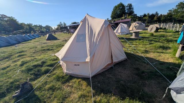
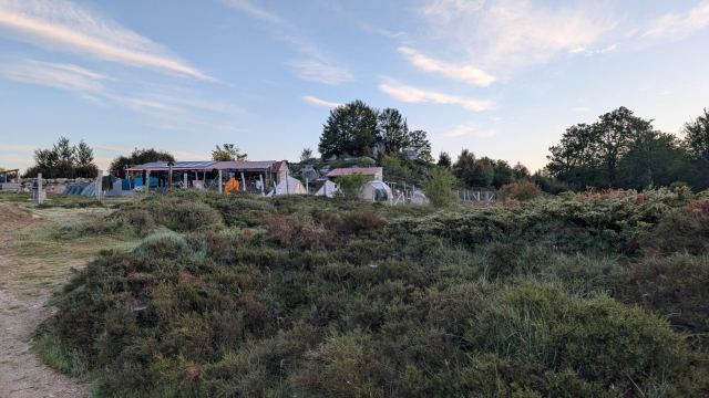
At Tighiettu, I pitch my tent right by the outdoor kitchen. Convenient for quickly making my own food or getting water, but there is a continuous stream of people there looking to cook or eat. These French people aren't exactly a quiet bunch. Volume 12 all the time, honestly😄 Note to self: find a tent site further away next time.
📷 View photos in Google Album
24.05.2026
Day 5: Refuge de Tighjettu to Castel de Vergio
⬇ Download GPX file
I wasn't feeling quite myself yesterday and lay exhausted on the bench outside the tent after eating dinner. I went to bed at nine in the evening and fell asleep quickly. By then, it had finally quieted down in the outdoor kitchen next to the tent.
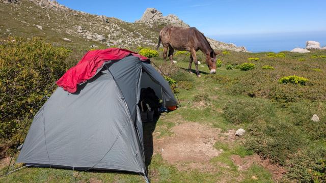
I had set my alarm for 5 AM and had prepared things so that packing would go quickly. During the night, I woke up a couple of times because something/someone was touching the tent guy lines on the tent wall above my head. I tried to look out to see what it was, but it was too dark to see anything.
I was very efficient with breakfast, morning routine, and packing today. At 6 o'clock, I was ready to start the next stage.
Sam and Zhengwei, who are camping just beyond me, were also in the process of packing up. Sam had lost one of his sandals and was searching the area around the hut to find it. Both sandals were in the vestibule when they went to bed. In the morning, he only found one, and it was lying outside the tent. There can only be one explanation for that disappearance; a fox has been at work. That also explains what was touching my guy lines during the night. I also had my sandals in the vestibule, but the fox wasn't tempted by them 😆 I was lucky. Such sandals are a must to have when you've finished walking and just need to move around the tent site/refuge. Furthermore, you aren't allowed to wear hiking boots inside the huts.
I say goodbye to the couple for now and start the hike. We are staying in different places tonight, so we probably won't see each other again until after the next stage.
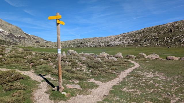
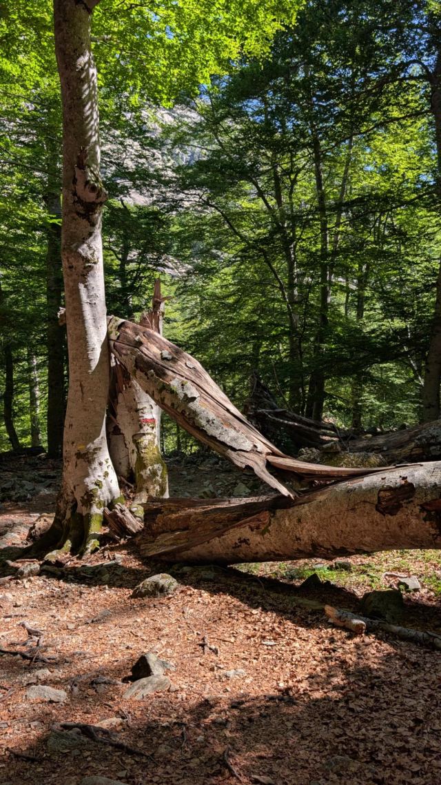
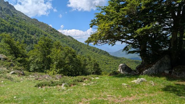
The hike down from Refuge Tighiettu goes easily, and after barely half an hour, I am at Refuge U Vallone. Here the trail splits, and I follow the one that goes into the valley towards the pass I have to cross. The path is easy to follow and moves through a forest full of huge pine trees. Some of these are enormous and must be several hundred years old.
I have seen many cocoons on the trees here, and Google says this is the home for the larvae that become pine processionary moths. I have seen these larvae in a ball in pits in the ground and in long "trains" consisting of many individuals. The hairs on these are apparently poisonous, and you shouldn't touch them. Strange insects.
https://photos.app.goo.gl/VGrsFp2djByVC35y5
After an hour of hiking, I come out of the forest near the river Ruisseau de Foggialle. Here the climb up to the pass begins; 600 vertical meters must be conquered. In the beginning, there are steep paths with rough, bump-like stones. These are heavy to walk on and not my favorite. I quickly notice that my legs are heavy and still affected by the previous stages, so I try to take it easy. Eventually, it seems like my thighs loosen up a bit, and my steps become lighter. The terrain also changes, and now it goes mostly over rock. In some places, it is so steep that hands must also be used to get up.
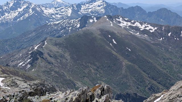
Three hours after I started from Tighiettu, I am up at the pass Bocca di Foggialle (1965 m). The view from the pass toward the valley behind and the surrounding mountains is incredibly beautiful. I see that the trail continues up for a bit longer, goes around the valley, and then descends from the ridge on the other side of the valley. Finally, a trail that doesn't just climb straight up only to descend steeply!
I climb the last stretch up to the highest point of the day (2046 m). From here, the path goes down to Refuge Ciuttulu di i Mori, which lies deep in the valley. It is open, so I stop for a cup of coffee and a soda. The three men running the refuge were sitting inside the kitchen when I arrived, two older men and one younger man. There was neither a polite "bonjour" nor a smile to be found when I entered. Only the youngest of them understood a little English, so I managed to order what I wanted. No "thank you" or "goodbye" when I walked out. It was quite different from what I have experienced elsewhere here.
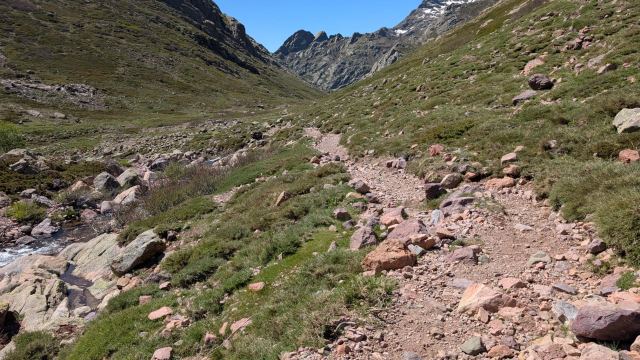
The view from the hut is fantastic, and I sit enjoying it while drinking my coffee. I see that the path goes down into the valley and follows the river as far as one can see.
I try a polite "au revoir" as I leave the hut. No response there, no. What hospitable bandits 😆
I follow the trail around and begin the descent toward the valley floor. It is blowing strongly on this side of the valley, and I have to hold onto my cap so it doesn't blow away.
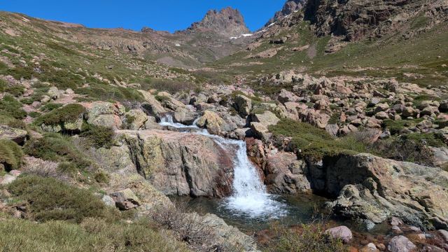
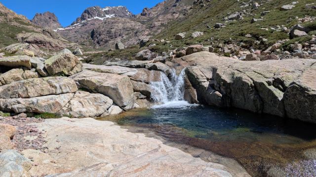
The river running next to the trail forms many beautiful pools, and it is tempting to take a dip in some of them. However, I prioritize getting down to Castello Vergio, where I have a hotel room. I have plans to wash some of my clothes there, and they take some time to dry.
It is truly beautiful in this valley, and I enjoy walking down here. There are lizards everywhere, and they run in all directions as I pass them. I get a bit of a start when a snake suddenly cuts across the path right in front of me. It was about a meter long and had a faint pattern on its skin. According to Google, this is a grass snake. I knew there were snakes here, but I hadn't imagined I would run into one. Fortunately, none of the snakes here are poisonous.
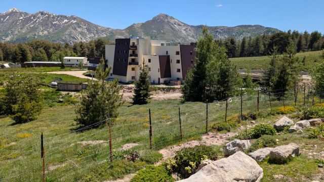
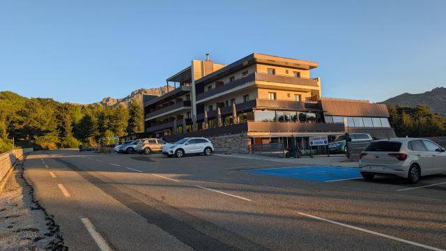
After crossing the river a bit further down, I leave the river now and soon arrive at the hut Bergerie de Radule. That is probably the most common stop for those walking the GR20. However, I am going further and continue on the path, which now enters dense forest. After a few kilometers in the forest, the trail ends on a paved road. Just below this lies the hotel.
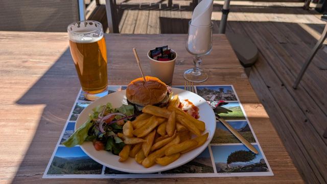
After a shower and laundry, it's time for a beer and a burger down in the hotel restaurant. Since I am checking out early, there won't be time for breakfast. I therefore get those in the restaurant to make me a baguette with cheese and ham that I can take with me. Great service!
All in all, a very good day and a truly great stage. Tomorrow will be another easy stage. It has about as much climbing and distance as today. But I am starting about as early as today. Fortunately, I don't have to pack up the tent tomorrow 😀
There will now be three nights in a tent before I stay in a hotel again. Only then will I be halfway through the trip.
25.05.2026
Day 6: Castel de Vergio to Refuge de Manganu
⬇ Download GPX file
At half past five, the alarm on my phone goes off. I snooze it for 10 minutes, but get up before that.
Most things are already packed, so it’s just a matter of eating and applying sunscreen. I did a poor job of applying it the first day, and it shows clearly on my right arm, where the skin is now peeling.
At a quarter past six, I go down to the reception to retrieve my backpack. It is locked in a storage box along with my sleeping bag and sleeping pad. The hotel has a policy that guests are not allowed to bring such items into the rooms to avoid spreading bed bugs. A little before half past six, I am out of the hotel and starting the day's leg.
The trail starts just below the hotel. Here, it descends 70 meters before leveling out and following the mountainside for 4 km through a forest mixed with birch and pine trees. Everywhere there are traces of pigs that have been searching for food here.
Shortly after crossing the Ruisseau de San Petru river, the trail breaks off westward and climbs up along the ridge next to the river. Here, it zig-zags until I reach the Bocca de San Petru pass (1452 m). Here, you emerge from the forest and get a great view in all directions.
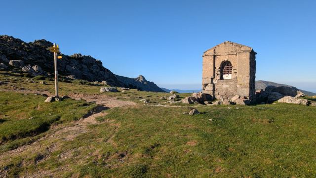
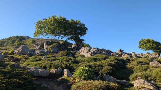
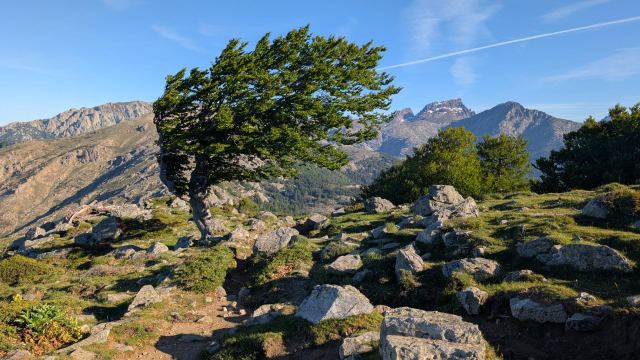
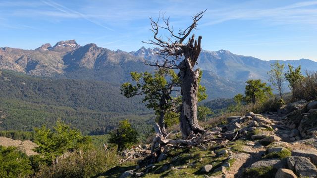
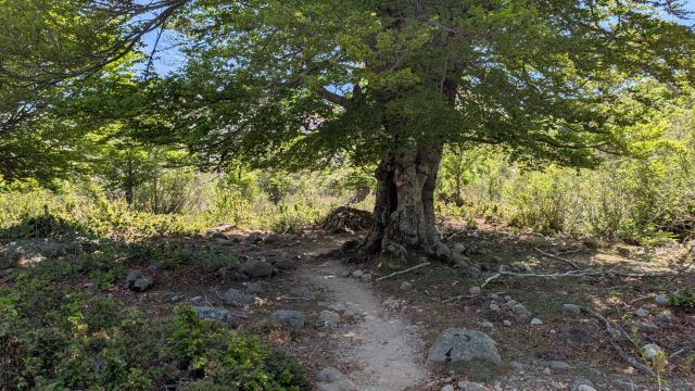
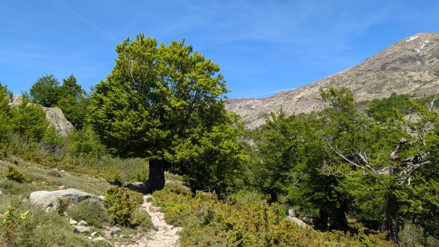
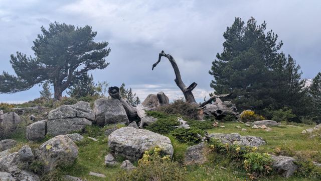
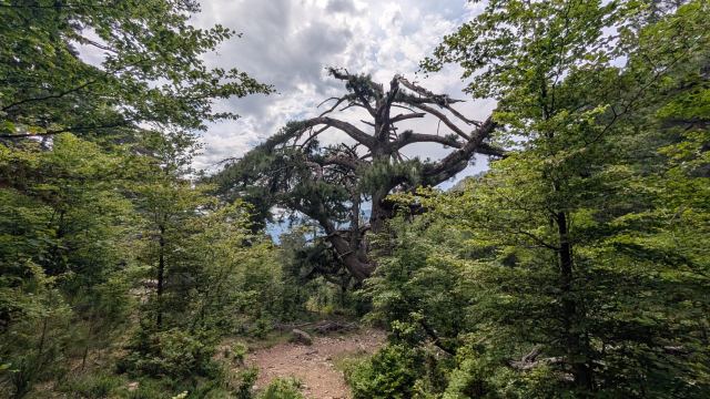
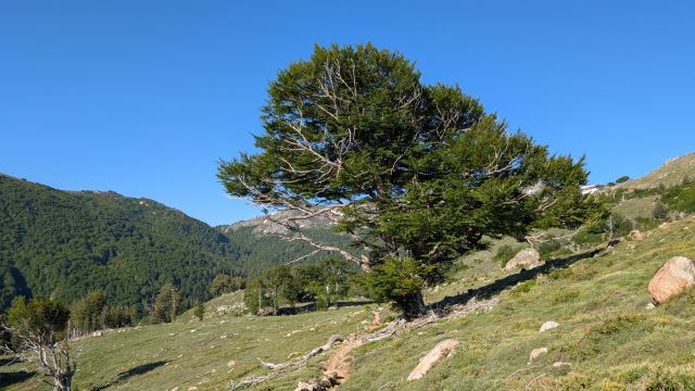
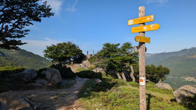
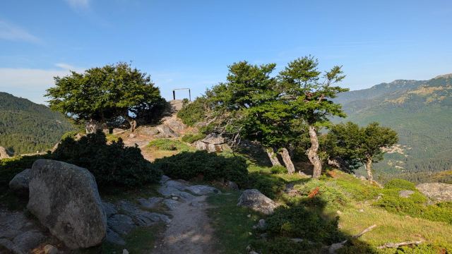
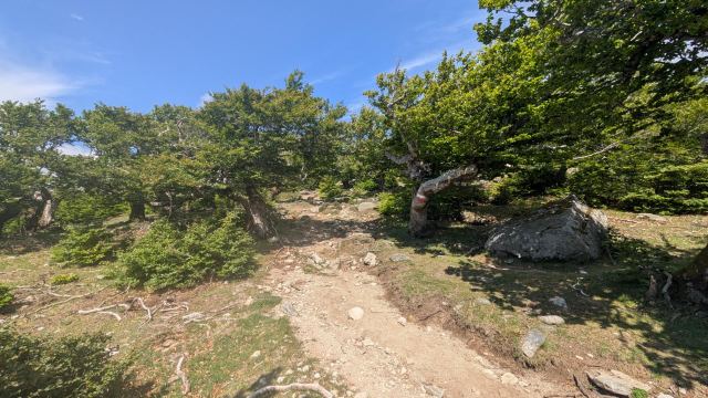
From the pass, the trail turns south and now follows the mountain ridge that runs all the way to the summit of Capu a u Tozzu. On the way up here, I pass the trees that have now become a symbol of this trip. They have grown, shaped by the fact that the wind often blows from the east here. That has given them a very special appearance. Today, the wind is blowing freshly from the opposite direction.
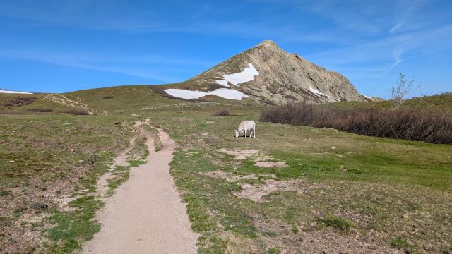
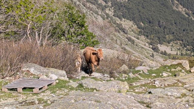
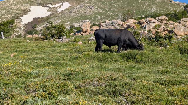
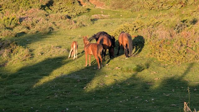
There is also a lot of cattle grazing here. They lie or stand on the path, and most don't care that you pass close by. But there are also many young calves here, and the mothers don't like it when you get close. There were quite a few detours off the trail here.
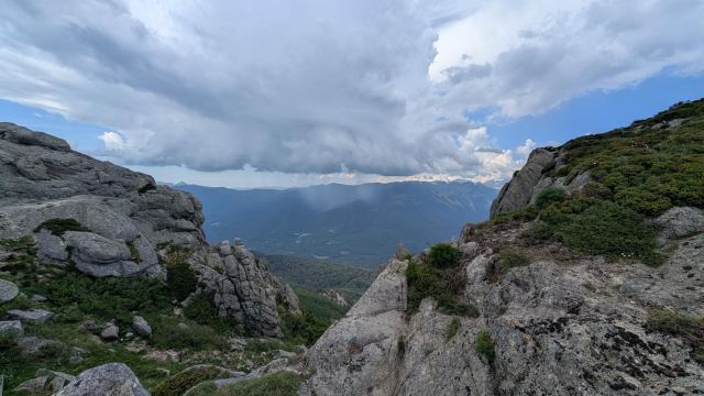
Three hours after leaving the hotel, I reach the Bocca a Reta pass, which will be today’s highest point (1883 m). There is a great view here, but it is blowing hard, so I quickly continue on after capturing the view on my mobile.
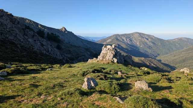
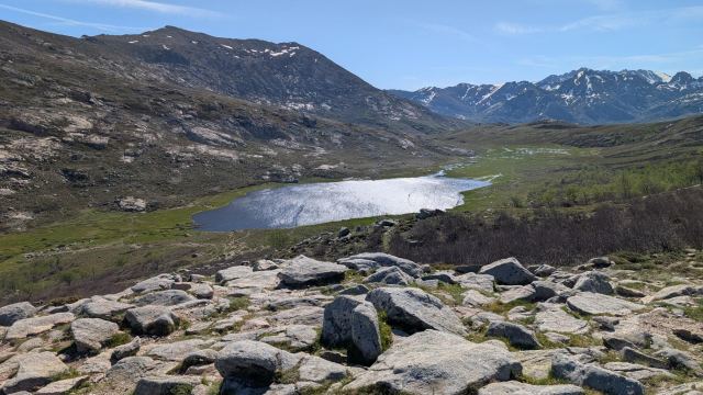
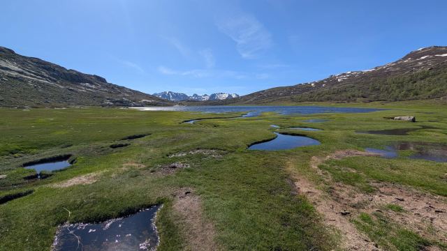
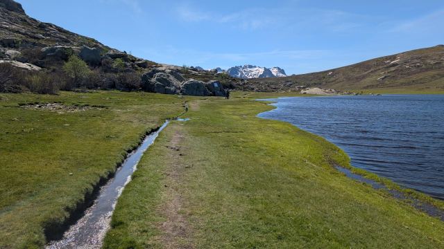
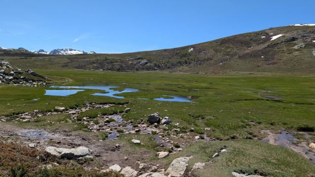
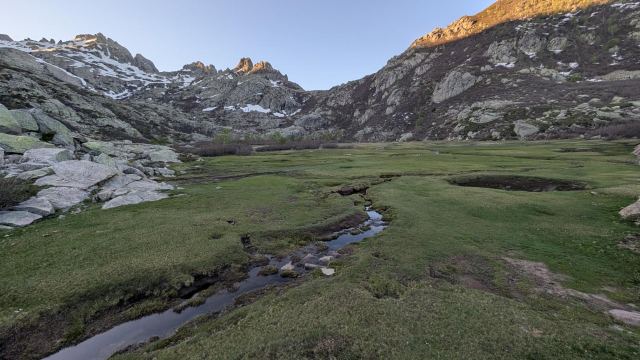
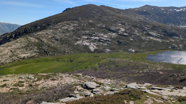
The path now goes gently downhill over grassy slopes. Cattle are grazing everywhere, and there are often some detours out into the terrain to avoid these angry mothers. I soon arrive at a viewpoint where I get a fantastic view down toward the lake, Lac de Nino, which lies 100 meters further down. The green delta on both sides of the lake has rivers and pools that create a fantastic sight. Understandably, there are many people here who have come to see the beautiful landscape.
I find myself a nice spot by the water to take a break. It is truly idyllic here with the green plains and the blue water.
Fish are jumping right near where I am sitting, and further away, some people are fishing with fly rods. They catch several trout while I sit there. They release them again, as it is not allowed to kill them. They are also so small that there wouldn't have been much food in them anyway. After a good hour, I put my pack back on and hike further into the beautiful surroundings.
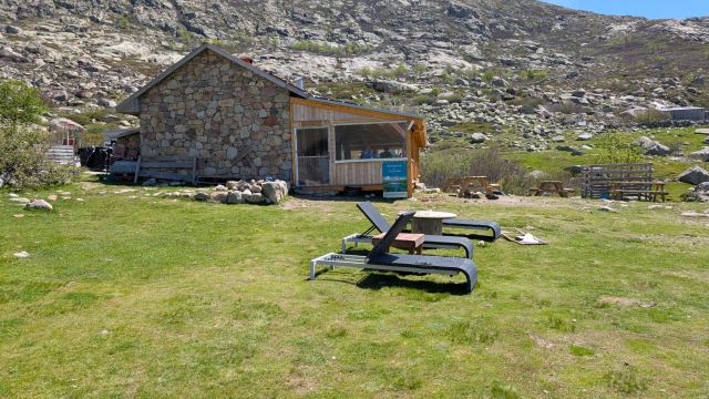
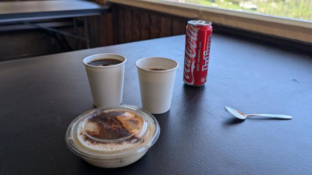
A little further down the valley, I stop by the Bergerie des Inzecche hut, where I buy myself a coffee, soda, and tiramisu. The tiramisu was delicious, but I noticed that one was enough. After consuming this, I continue down the valley toward today's goal, Refuge de Manganu.
When there is a kilometer left, I am caught up by Matthew from England. He started the GR20 at exactly the same time as me, and I have met him many times without having talked to him much. We walk together the rest of the way.
After setting up the tent and unpacking my gear, I went down to the refuge to have a beer on the terrace there. I am soon joined by Matthew, who has already managed to swim in the river. He is staying at the refuge and doesn't have to deal with setting up a tent or inflating a sleeping pad. He had stayed overnight at Refuge de Ciottulu and hiked all the way from there today. That is over thirty kilometers. Sam and Zhengwei had also been there, and they had started before him. He had passed them some distance down the valley, before Castello Vergio.
Three beers and two hours later, they also show up at the refuge. They are tired but happy to see us. It's strange how we who meet regularly under such circumstances become a kind of family you care about.
Tomorrow awaits perhaps the most demanding stage of the whole trip. Here, two passes over 2200 meters must be crossed where there is still snow. Then, I will finally have use for the crampons and ice axe that I have been lugging around from Calenzana.
📷 View photos in Google Album
26.05.2026
Day 7: Refuge de Manganu to Refuge de Petra Piana
⬇ Download GPX file
As usual, I wake up at 5:30 and quickly finish my morning routine. An hour later, I leave Refuge Manganu. Sam and Zhengwei have already started walking, and Matthew is right behind me. Others are getting ready to depart outside the refuge. Some are heading north, but most are heading south. Today's goal is Refuge de Petra Piena, which is the next camp to the south.
I have to cross two passes that are both over 2200 meters high. There is still snow around these passes, and there are steep ascents toward both. It will likely be another tough day on the GR20.
Good weather is forecast for today as well, so it will get hot as the sun climbs higher. Down in the valley, it is still shady, and a cool breeze is blowing down from the mountains. Perfect when you're going to climb a steep ascent with a heavy pack.
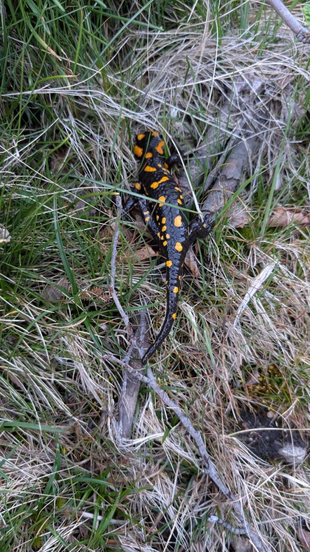
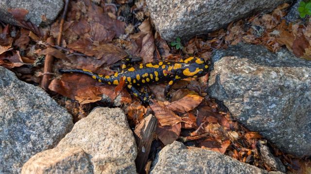
The start of the stage begins quite easily without the most demanding climb. In front of me, Sam and Zhengwei have stopped and are filming something beside the path. It turns out to be a Fire Salamander, a species found only here in Corsica. It is black with orange spots and is quite large. I had hoped to see one during the trip.
I walk past the pair and continue up toward the pass. I am now in front of those on the trail. It gets steeper, and eventually involves climbing over rock and stone. The areas are mostly barren, but I pass a couple of green-clad meadows where cows have clearly been grazing. They are damn good at climbing to get there.
Eventually, I reach the section where the snow lies. It is steep here, and I consider putting on crampons. I try walking on the snow and feel that it is soft and easy to walk on. Besides, someone has already walked here before me, and the tracks make it easier to get a foothold.
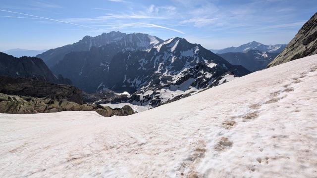
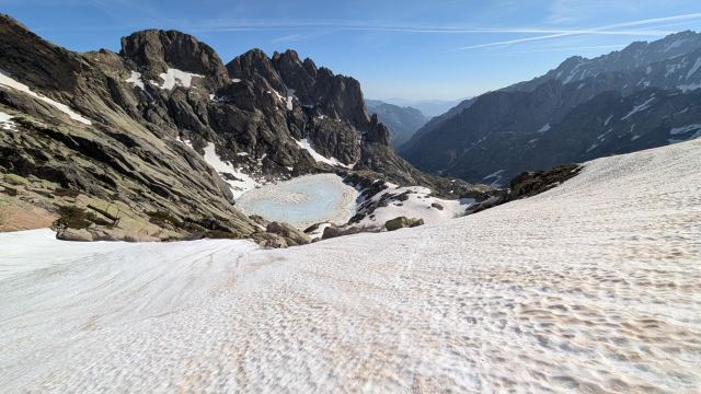
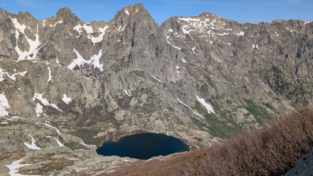
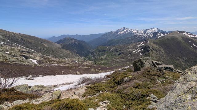
It goes quickly walking up here, and within half an hour, I am up at the pass. Bocca alle Porte is 2270 meters high and becomes the highest point of the day. From the pass, I look down toward the lakes Lac de Capitello and Lac de Melo. Capitello, which lies higher up, is still iced over. These lakes lie in a basin, surrounded by the high mountains around them. The rivers from these flow into the Grotelle Valley, which is the only way out of here.
I take a break at the pass and expect to see Matthew here soon. He wasn't that far behind me when I started walking on the glacier. But he doesn't show up, so I assume he is taking more time walking on the snow.
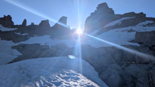
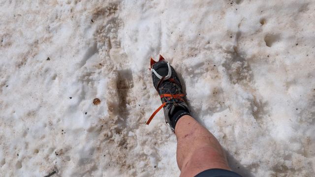
On the other side of the pass, the glacier plunges steeply down toward the iced-over lake. There is snow all the way down. Although the snow is soft and okay to walk on, I don't risk going without crampons here. The tracks I am following go along the cliffside for a bit before they cut steeply down toward the ridge that runs between the two mountain sections where the passes are located. It doesn't take long before I get past the snow and have to climb down a steep gully secured with a chain. I take off my crampons here.
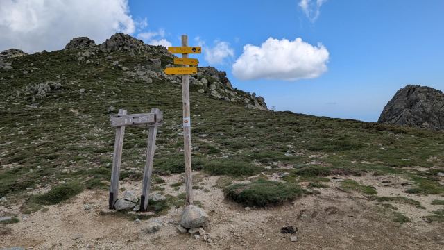
The path now follows the ridge to the other side of the basin, where I have to climb up again. I see there is some snow that must be crossed there. The ridge over there has some technical passages at the beginning but eventually becomes a great path to follow. There is a pass here too, Bocca de Soglia at 2050 m.
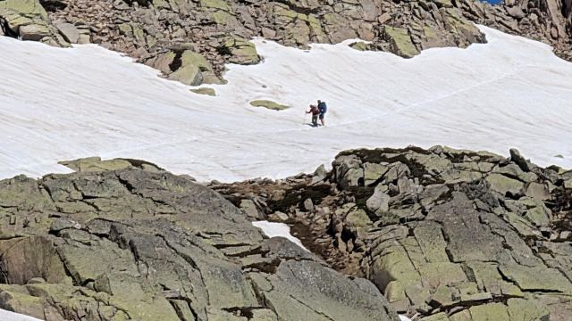
The trail continues at the same altitude along the mountainside on the other side. Here there are several glaciers where it goes steeply down toward the bottom of the basin. But it is unproblematic to walk with shoes here, so I skip the crampons. The cavities underneath several of these are worse. They can be just as dangerous. Those who have walked here before have clearly fallen through a couple. It’s one thing that you can injure yourself by hitting sharp stones underneath, but it can also trigger a fall and end up with you sliding down the glacier. In that case, crampons won't help.
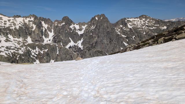
After a kilometer, the trail swings abruptly up the mountainside and goes straight up in very steep terrain. It alternates between snow and stone up the ascent. I try to stay away from the snow where possible. A few hundred vertical meters further up, it levels out. There is snow everywhere here. From here, it goes in a gentle ascent on snow all the way up to the pass. A quarter of an hour later, I reach the pass Bocca Muzzella at 2210 m.
I take a longer break at this pass and eat some of the bread I bought at the previous refuge. It was actually more white bread than bread. While I sit there, a couple appears who are also on their way south. They are on day two and are going to do the GR20 in four days. Their next stop is L'Onda, which is my goal tomorrow. I have met several who are doing this distance in four days. I assume it's a thing among French fitness enthusiasts😄
I see in the map app that it is only 1.4 km to Refuge Petra Piana from the pass. It lies right behind a ridge that the path leads to. There are some glaciers on the way there, but I consider them unproblematic with shoes, so I pack away the crampons and set off.
When I reach the ridge, I see the cabin about a hundred meters below. It goes steeply down at the start, and there is snow for the first part. It looks a bit scary at first, but when I walk on it, it feels okay. I use my shoes as skis and slide down in the loose snow. A short time later, I am down by the refuge.
I leave my backpack by the benches outside the refuge and start talking to a couple from Canada. They are on their way north, meaning the opposite way than me. We share info about the stages we have been through. It's good to get knowledge about the next stages for both parties. They had walked the high mountain variant from Refuge L'Onda and could highly recommend it. Here you get wide views all the way, fresh air, and a decent path to follow. On this stage, the GR20 actually goes down to the valley floor, where you walk a large part in the forest. Not exactly ideal when warm weather is forecast. There is also a 300m climb up to the refuge toward the end.
I have considered this variant in my planning but haven't been sure because of the snow conditions. Today I saw the whole variant when I came down from the pass, so I see this is no problem now.
While I was talking to the Canadian couple, Matthew came out of the shower facility. He had arrived at the refuge an hour ago. I don't understand how he could have passed me without me seeing him?? He was just as surprised that I came after him to the refuge.
We met again after I had set up my tent. The explanation for the mystery was that he had gone up another way from the glacier and had not gone through the pass where I was sitting. He had followed some others who had passed him.
Matthew and I end up sitting and talking over some beers, just like the day before. We speculate if something could have happened to Sam and Zhengwei on the trip since they are so late. Fortunately, they show up after a few hours. They had spent a lot of time crossing the glaciers.
Tomorrow will be an easier stage. I have decided to take the high mountain variant.
📷 View photos in Google Album
27.05.2026
Day 8: Refuge de Petra Piana to Refuge de L'Onda
⬇ Download GPX file
It was really hard to wake up when the alarm went off today. First the watch, then the phone five minutes later. I snoozed the phone twice before I got up, but I really just wanted to sleep more.
Eventually, I got moving and managed to pack up my gear and tent. It was almost seven o'clock before I was ready to start today’s leg. Sam and Zhengwei, who were camping right next to me, were sitting outside eating breakfast as I packed down my tent. They were going to take the valley route and wondered if I had decided to walk the alternative route. The weather forecast was good, and it was going to get warmer. I said I couldn’t face walking down in the forest in that heat, so I chose the high mountain option.
When I threw away my trash at the refuge, I met Matthew as well. He had also decided on the valley route to make more of the day, as he put it. The valley route runs along a river, and there are several great swimming holes there. I assume swimming was part of the plan. The high mountain variant is three kilometers shorter than the valley route and follows the ridge over several mountains. There is also less climbing there, just over 200 meters up to the highest point. However, there is a long 650-meter descent towards the end.
Normally, there are no water sources on this variant, so I filled all my bottles before leaving. The night before, I had tried to figure out where the trail for this variant started, and it looked like it followed the valley route trail for a bit down into the valley before breaking off towards the mountain range. I was sure this was correct and therefore followed the steep descent of the valley route.
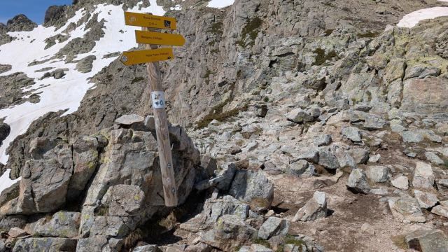
Further down, I saw Sam and Zhengwei. I caught up to them just before the trail leveled out. Sam looked surprised and asked if I had changed my mind? No, the plan was still the alternative route. He thought that route took off exactly where the descent started. Had I not seen the sign? No, there was a cow with a calf in that area, so I must have walked around it. I looked up towards the point and then saw the sign far up there. Dammit, I had gone the wrong way. I tried to follow the path from the sign where it crossed the valley and saw the yellow markings a bit up the hillside. It would require a bit of scrambling to get up there. I thanked Sam and tackled the task. 10 minutes later, I was on the trail.
If I had followed the trail from the sign, I would have maintained my altitude all the way to where the ridge started. Oh well, it was a bit of extra time and effort, but now I don't need to stress today. I have plenty of time on this leg and intend to spend more time filming with the GoPro camera than I have previously. It is always easily accessible in the shoulder strap pocket of my backpack, but you don't always have the energy to take it out and film. The goal is to put the clips together into a small film of the hiking experience.
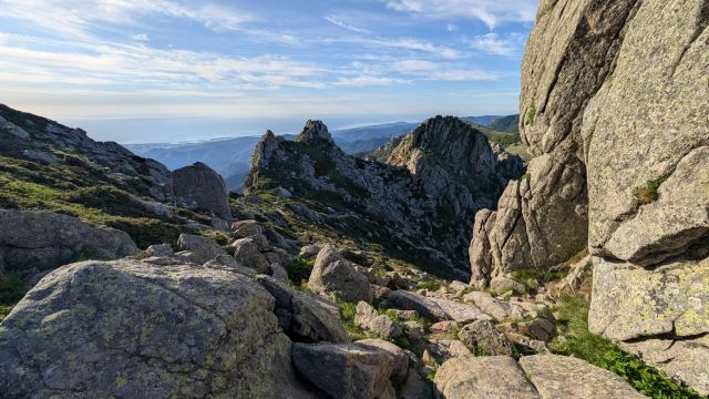
The climb up along the ridge is mostly quite gentle, except for a few sections that require scrambling. The sun has already hit the mountain ridge and is warming things up well. Fortunately, there is a bit of wind here at this altitude, so it doesn't get too hot to move. The view here is formidable in all directions. You can see all the way to the coast in the west. The island's capital, Ajaccio, can also be glimpsed a bit to the south. The haze that always lingers low around the island early in the morning prevents me from seeing it clearly.
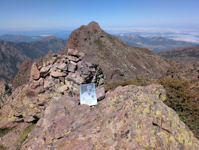
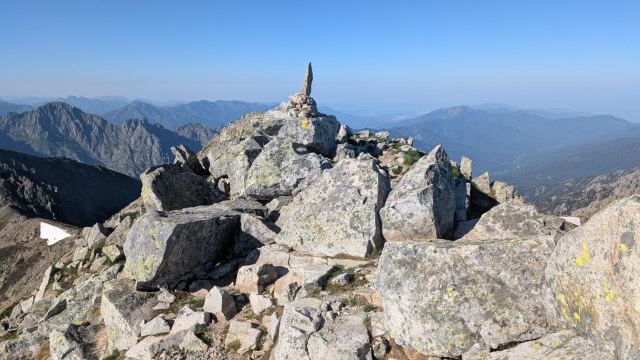
An hour and a half after I started from the refuge, I reach the summit of Punta all'Altore (2022 m), which is the highest point of the stage. Here, I take a long break and eat some chocolate while enjoying the view. There is good mobile coverage, so I manage to sync all the photos from the camera and update the albums I've created for the logs. The video clips on the phone are so large that they will have to wait until I get Wi-Fi. It’s also nice to catch up on the news and send a few snaps at the same time. 🙂
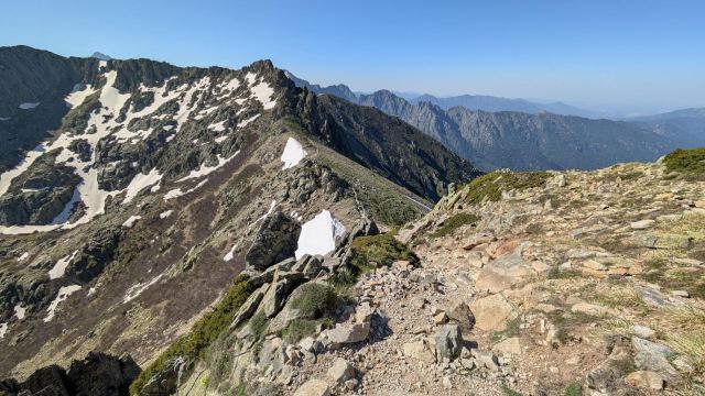
From the summit, the trail descends steeply for 150 meters while following the ridge in an arc towards the east, towards the mountain located to the south. Here, it runs along the mountainside in quite jagged terrain. There are still a few patches of snow here and there, and they are rotten and difficult to cross. After a few hundred meters of this, the trail goes straight up towards the top of the ridge, about 30 meters above me. It is really steep here, and the trail is completely covered in snow. I consider whether it's possible to walk around it, but the terrain doesn't allow it. There is a reason the trail goes up exactly here. I see an opportunity to walk along the edge of the snow for a bit, then cross it further up and follow the edge on the other side. I have to cross bushes and thickets to achieve this. Whether it is safe is debatable. This becomes the solution, and after a lot of struggle and swearing, I finally make it to the top. My calves took a beating in the thickets and are full of scratches. 😯 There weren't supposed to be any challenges on this variant according to the Canadian couple. 🙄
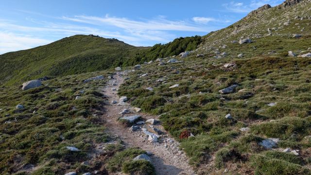
On the other side of the ridge, the terrain is quite different. Here there are gentle, green-clad mountainsides. Cows graze everywhere. The trail continues gently downwards, still along the ridge. It continues this way until the mountain ridge ends and then drops steeply down to the pass Bocca d'Dreccia, which is located in the valley bottom below. From the top, you can see down to Refuge de l'Onda, which is located in the bottom of the valley that comes down on the other side. There are 400 meters of descent left to get there. It takes me about an hour to get there.
I clear up with the hut warden where I can pitch my tent and buy myself a soda at the same time. While I’m drinking it, Sam and Zhengwei arrive. They had arrived just before me and had walked past the camping area up to the refuge, which is located 200 meters further up. These are located a bit apart at this site. This time, it was they who hadn't noticed the signage. 😄
Eventually, Matthew also comes down to the restaurant. He is staying up at the refuge and has to come down here to buy food. I need to go and find myself a good tent spot before more people arrive, but we agree to meet there once I’ve showered.
They have, among other things, pizza on the menu here, so it wasn't that hard to decide. It was pizza for both of us. Along with a beer. Sam and Zhengwei eventually arrive and keep us company. They order the same as us. We sit and talk for a while before going our separate ways to relax.
That pizza was, by the way, some of the best I've tasted in a while. A really crispy and flavorful crust with ham and mushrooms as toppings.
All in all, a calm and pleasant day with a relatively short and beautiful stage. Unfortunately, there is zero mobile coverage here, so I can't update anything.
Tomorrow it’s hotel time again. But before that, there will probably be a demanding stage, with a 750 m steep climb up to yet another pass, followed by what is supposedly an infinitely long and jagged 1000 m descent down to Vizzavona.
📷 View photos in Google Album
28.05.2026
Day 9: Refuge de L'Onda to Le Vizzavona
⬇ Download GPX file
Many hikers arrived at the campsite throughout the afternoon, and the field below the restaurant gradually filled up with tents. Most were French, but I could also hear German, Danish, and Polish voices among them. It is clear that the hiking season is now in full swing.
I wanted to get an early start to avoid the climb in the heat and had set my alarm for five o’clock. I was awake before then and turned the alarm off before it went off.
For some reason, my sleeping pad was empty of air when I woke up. It may be that I didn't properly secure the valve cap when I deflated it before going to bed. I just hope there isn't a hole in it.
When I went out to pack up my tent, most of the other tents had disappeared from the field. It was mostly just those of us who have followed each other since the start who were left. I spoke briefly with Sam when we met outside the toilets. They had also gotten up earlier than usual and were also astonished that the field was almost empty of tents. These must be hikers doing two stages who want to make the most of the day.
I myself am hiking by six o'clock. The sun, which is low on the horizon now, shines straight into the valley and has already hit the trail. It doesn't warm much yet, but the temperature is noticeably higher outside now than it has been before. The sweat is already pouring after the first 100 meters of climbing, and I have to reduce my pace so that my pulse doesn't hit the ceiling.
As usual, my legs are heavy at the start. They never seem to fully recover. It is clearly not pleasant to walk up such inclines with a heavy pack and sore legs. It becomes just as much a test of mental willpower as it is mastering the physical exertion. I try to keep my focus on not letting my pulse move out of the comfort zone. It only takes a small extra effort for that to happen.
It goes okay to push myself today. Even though it is heavy, I manage to keep a steady pace all the way up to the pass. At ten to eight, I am at the Bocca Muratellu pass (2120 m). I find myself a nice spot a little above the pass and enjoy the view from here. Several young hikers walk by while I sit there. Sam and Zhengwei pass shortly after I sat down. They must have walked the ascent quickly, as they were a bit behind me at the start. I follow them on the way down the other side. Here, the pace is noticeably slower. Zhengwei fell and tumbled down the snowfield above Petra Piena. Fortunately, it went well, but she got a real scare from it.
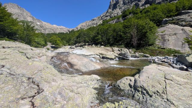
A few minutes later, I put on my pack and started the descent as well. Now there are a thousand meters of descent to Vizzavonna. This section is described as long and tedious. I can confirm that. It is fine for the first half, which goes mainly over rock. It is when you get down into the forest that it becomes tiring. Here, the terrain alternates between rocky ground and roots to large rocks that must be navigated. The trail now follows the river that runs down into the valley. There are several large, beautiful swimming pools here, and I consider whether I should take a dip in one of them. That will have to wait for another stage. Now, it's the hotel that matters.
A few kilometers from Vizzavonna, I run into a lot of people who are here to bathe in these pools. This river is known for having many such pools and is an attraction that draws many tourists. The waterfalls here are called Cascade des Anglais and were named after British visitors in the early twentieth century who came here to cool off in the pools.
There are a few more kilometers in the forest before I finally arrive in Vizzavona. I quickly find the hotel and ask if I can check in. They haven't prepared the room yet, so I have to wait half an hour. I sit down at the outdoor restaurant right outside and order a soda. Suddenly, Matthew shows up. He is on his way to the hotel he booked, which is a bit outside the "center." He sits down and eats lunch with me before he has to continue. We will likely meet again.
This was the last stage of the northern part of the GR20 (GR20 Nord). Tomorrow I begin the southern part (GR20 Sud). That also means that I have now reached the halfway point of the trip.
The northern part is considered to be the toughest and most demanding part of the trek. That does not mean the southern part is easy in any way. It may not have as demanding climbs, but the stages are often longer here. In addition, I have combined several of the stages to shorten the number of overnight stays. It could be some tough days ahead.
The weather forecast for this area is not very promising for the next three days. Thunderstorms and rain are predicted. Hopefully, it won't happen, or at least that there won't be that much rain.
📷 View photos in Google Album
29.05.2026
Day 10: Le Vizzavona to Refuge de Capanelle
⬇ Download GPX file
It is easy to get used to the comforts of a hotel. Electricity, hot water, showers, toilets, and not least, a proper bed. You learn to appreciate such things when you have lived in a tent for three nights. Just knowing that in a few days I will be staying at a hotel provides motivation when the going gets tough.
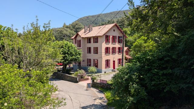
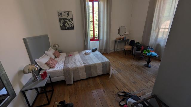
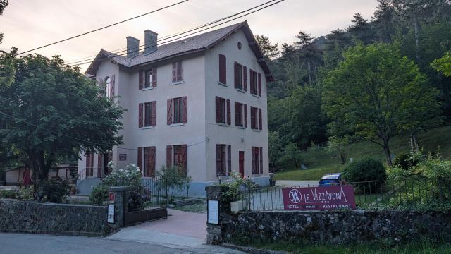
Hotel Le Vizzavona is originally an old manor house from 1901 that has now been converted into a hotel. It is a mix of old and modern, with rooms that have three-meter-high ceilings and creaky floors, yet still have room for a state-of-the-art bathroom. The hotel has both an outdoor and indoor restaurant, and the food is good here. The cozy patio is a big plus. Many GR20 hikers stop by here to eat or drink, and it is easy to strike up a conversation with them.
The staff are very service-minded and do everything they can to ensure guests have a good time. However, they don’t speak a word of English. Only the boss himself speaks English, and he is not easy to get hold of. It often ends in misunderstandings when they take orders from guests who don’t speak French😄 I ate both lunch and dinner there and was served beer when I asked for wine, and got egg in my salad when I said I couldn't eat eggs. And ketchup for the salad!😆 I suppose I nodded in agreement at the wrong times. Others experienced the same thing. Regardless, the hotel was a good experience.
Even though I slept a little longer today, I was packed and ready to go before seven o'clock. This stage starts with a 700m ascent and is 15km long. It will be a decent foretaste of what is to come. The next few days will feature longer stages.
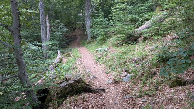
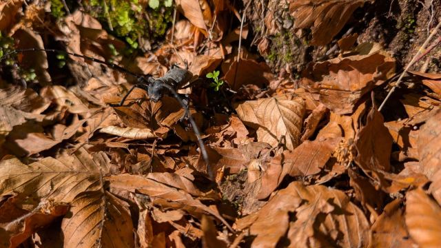
The trail follows the road for a bit before it branches off and crawls up through the forest. It goes gradually uphill, not too steep, but enough to work up a sweat. It is dense forest for large parts of the ascent, with the exception of a couple of places where open clearings offer a view down into the valley. Birdsong, cuckoos, and the sound of woodpeckers fill the forest with noise. An iridescent beetle crawls across the path. Here is the tranquility of the forest before I come panting along and disturb it😜
Only when 100 meters of ascent remain do I emerge from the forest. From here, the trail goes steeply in switchbacks until it reaches the Bocca Palmente pass (1638m). It is clouding over more now, and at the pass, the wind is bitter, so I quickly continue down on the other side. The trail now drops 100 meters and enters the forest again. It starts to rain just as I come down from the ascent. Not very much, so I wait to take out my rain gear. It lasts only ten minutes and then it is over. Thunderstorms are forecast for today, and in the distance, I can hear rumbles of thunder. I hope they don't head this way.
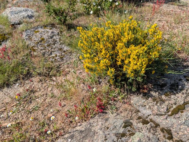
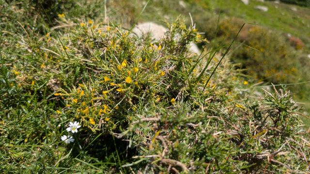
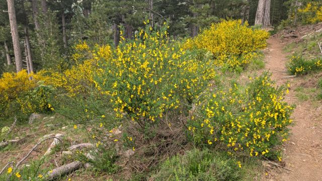
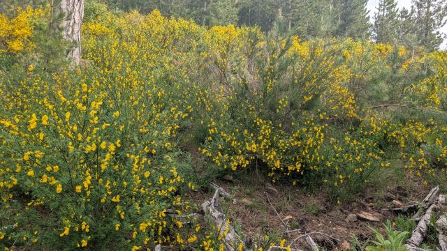
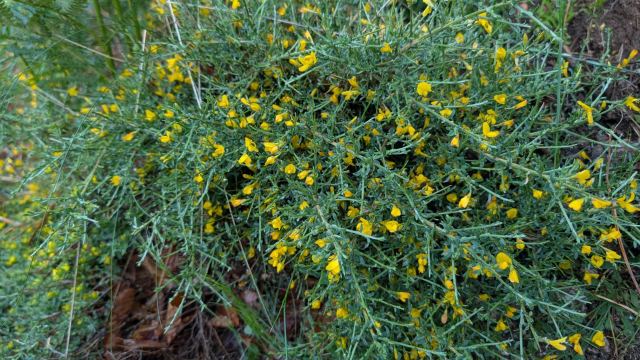
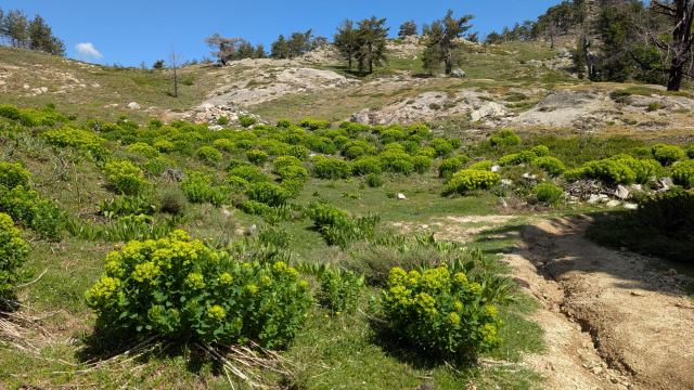
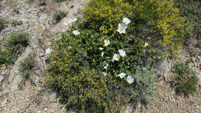
The trail goes completely flat through the forest without any incline and is good for walking. Here you can cover kilometers quickly. I arrive at a clearing in the forest where I now get a view down to the east coast of the island. It is the first time on this trip. In this area, there are also large amounts of bushes with yellow flowers. It is like a yellow carpet next to the trail. Incredibly beautiful.
When there are two kilometers left, the trail bends up into the forest. It now climbs steeply 200 meters until it hits a road. The road is followed for a while before the trail branches off on the other side and slopes down to where the refuge is located.
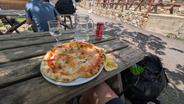
I check into the cabin and am shown where I can set up my tent. They have pizza on the menu here too, and I cannot resist the temptation today either. It becomes a Capri pizza and a soda. Just as I get the pizza, Matthew appears. He started late today. We sit and talk for a while before I have to break off to find a spot for my tent. It is starting to get very crowded at the refuge now, and many are looking for space for their tents. I saw some nice spots behind some stone houses when I arrived at the refuge earlier. I hoped they weren't occupied yet.
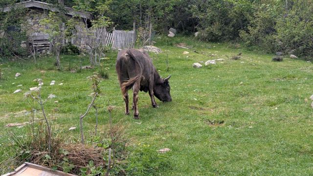
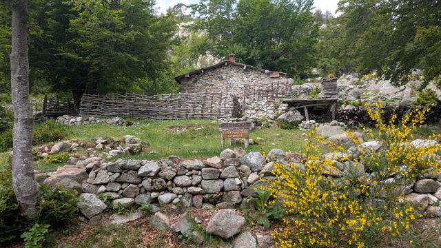
Just in front of the houses, Sam and Zhengwei had set up their tent, but they were not to be seen now. Behind one of these houses, I found a large and nice place for my tent. While I was setting up, a huge ox came walking up between the houses and right past my tent. I immediately started thinking of escape routes in case it became aggressive. That was completely unnecessary. It just grazed peacefully and didn't even notice me. Phew😄
After I got settled in the tent, I lay down and half-slept for a while. I woke up to the sound of rain drumming on the tent fabric. I had to get out to save the clothes I had hung out to air. The rain showers became heavier, and it started thundering violently as well. Then came the downpour. It rained heavily, and I saw that puddles were starting to form around and under the tent. The whole campsite literally became a large pond.
I had to pack up all my clothes and equipment and save them from getting wet. I got out and managed to get my backpack under cover. The entire floor of the tent was floating on water now. I removed the stakes and lifted the tent away from there. Both the groundsheet and the tent floor were soaking wet. Fortunately, the rain subsided after a while and the sun peeked out. I managed to dry everything and set myself up in another spot with a natural drainage slope. During the evening, many more hikers arrived at the refuge, and it has become difficult to find space for a tent now. Two tents have now been set up where mine was. I hope they don't have to experience the same thing as me.
There was more drama later in the evening. When I had been out brushing my teeth and was about to get back into the tent, one of the cross-poles snapped. That is, the outer end of the carbon tube broke, and the inner tube disappeared into the opposite tube. After a lot of struggle in the dark, I managed to get the inner tube out and reinsert it on both sides. Then both pipe ends were taped well with duct tape. I hope that should hold.
Tomorrow I am going to walk two stages and will have a hefty ascent at the end of a long day. It will be interesting to see how my body handles it.
📷 View photos in Google Album
30.05.2026
Day 11: Refuge de Capanelle to Refuge de Prati
⬇ Download GPX file
It was a cold and damp night. I was awake on and off and could hear that it was raining, though not as intensely as yesterday. There was no sign of water pooling under the tent, so I slept on safely. The alarm went off at 5:15 AM, and I got out of my sleeping bag quickly. The part of the sleeping bag that had been pressed against the inner tent was wet, and there was also condensation and moisture on most everything else. The clothes I had hung up to dry inside the tent were more damp now than the evening before. Not exactly the ideal situation.
The weather forecast for today was overcast and rain with a chance of thunderstorms, but outside, the sun was already shining from a cloudless sky. I hope it lasts all day so that I can at least dry my tent, sleeping bag, and sleeping pad.
I separate the tent as I usually do when the fly is wet, and I put it and the footprint into a plastic bag. I tuck this into the stretch pocket on the outside of my backpack. The inner tent is also damp but not dripping wet, and it goes into the tent's stuff sack. Once everything is packed up, I fill my water bottles at the spring and start my departure from the refuge.
Today's stage is 17 km long and runs through mostly flat terrain for the better part of the way. Right toward the end comes the toughest part: an ascent of about 500 vertical meters. The first few kilometers go through dense, dark birch forest. Here, large amounts of old, wet leaves cover the trail, making the rocks slippery and slick. Gradually, the forest becomes somewhat more open so that the sun can break through and dry things up.
I pass several open areas where other plants have established themselves. Sometimes it smells absolutely fantastic here, almost like a mix of dried herbs and spice cake. That scent also varies quite a bit depending on which plants are present. Pine trees eventually take over more and more, and in the heat, this is the scent that dominates. An intense pine smell.
After about 13 km, I arrive at a road where the Relais San Petru di Verdi campsite is also located. I stop here to have a soda. It is from this point that the ascent begins. After psyching myself up for a quarter of an hour, I tackle the last part of the stage.
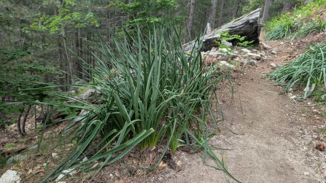
The trail follows a cart track for a while before cutting across and crossing it several times. It soon leaves the cart track and now heads steeply in zigzag turns through a dense forest of pine trees. In this heat, it is a good thing the sun doesn't get through here. It flattens out for a short stretch where the landscape opens up again. Here I enter a valley bottom where there are clusters of green plants with yellow flower crowns on top. It is possible I have seen these before, but never so many gathered in one small area. After passing this, the ascent continues steeply up the mountainside. The trail now goes in zigzag turns again on rock until I reach the pass. Bocca d'Oru at 1840 m becomes today's high point.
From the pass, the terrain is flat for a kilometer before the final short descent down to Refuge Prati. I get checked in and find a nice spot to set up the tent. I only set up the rainfly and hang everything else wet on the bushes nearby to dry in the sun. I dry my sleeping pad on top of the tent so that it doesn't get damaged by the sharp branches.
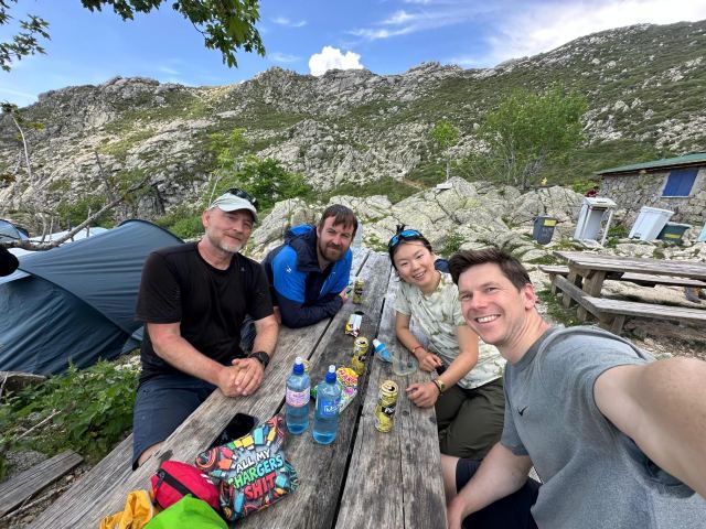
I head up to the refuge to buy some food. Matthew is sitting there on the bench outside. I was a bit surprised, because I didn't think I would see him again since I had doubled my stages. It turns out I got the days mixed up and it is the next two days that I have doubled. So that was a pleasant surprise. As usual, we sit outside the refuge and chat. And as usual, Sam and Zhengwei arrive after a while and join us. We end up sitting here for quite a while having a really good time. It’s a bit sad that we won't be seeing each other anymore during the trip. It has been a highlight of the day to meet up like this over a beer/soda and get to know each other better. But we have each other's phone numbers now, so we can stay in touch.
Tomorrow will be two stages and a total distance of 21 km. The goal is Refuge Matalza, where I will spend the night in a teepee tent with a bed. That means tonight is the last night in my tent. It will be lodges and hotels after that.
Halfway through this stage lies Refuge de Usciuolu, where the others are staying overnight. I plan to have a long lunch break there so that I can properly say goodbye to them.
As for the weather, it is forecast to be cloudy with a risk of thunderstorms later in the afternoon. I hope they are wrong this time, too.
📷 View photos in Google Album
31.05.2026
Day 12: Refuge de Prati to Refuge A Matalza
⬇ Download GPX file
It was very cold last night and I never got properly warm on my feet. I didn't sleep well either. The ground where the tent stood was slanted and I slid towards the tent opening all night. I tried to put something under the mattress to counteract it, but it didn't work very well. There wasn't much sleep, so I just got up before the alarm was supposed to ring.
Within forty-five minutes I had eaten breakfast, applied sunscreen, and packed the tent. I saw that Sam and Zhengwei were also finished packing, and when I returned from the water source, they had already left. Since I have combined two stages today, this will be the last time we see each other. Both they and Matthew have accommodation at Refuge a Usciolu, while I am going on to Refuge a Matalza. I had therefore planned to take a long break at Usciolu so that we could meet there.
The first part of the stage begins with a 200-meter climb up to the summit of Punta della Cappella. On the way down from there, I pass Sam and Zhengwei. They didn't expect to see me anymore and wanted to say goodbye, but I told them about my plan. We don't need to say a proper goodbye just yet.
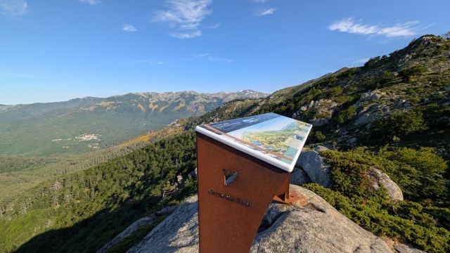
The path now follows the mountain ridge and passes several peaks to the south. It goes up to one peak, then down again, and up to the next. It’s not a very demanding part of the stage, but it takes time. Eventually, it descends to the Bocca de Laparo pass. There is a nice viewpoint here with signs showing what we see on the horizon, and I take a short break.
Now a steep 500-meter climb awaits. It has also become really hot in the sun, and even though the ascent starts in the forest, it will become open and exposed quite soon. After climbing for a while in the forest, I reach a plateau just before the trees end. I feel I need to refuel, so I take a break here. Five minutes later, Matthew shows up. As usual, he is walking very fast and I discover he has caught up to me by half an hour. He had looked for me the night before and didn't think he would see me again. I had to tell him about my plan as well.
We join forces from here on, and I try to keep up with Matt on the remaining climbs. I arrive at the top with a very high heart rate 😆 Not exactly a pace I am comfortable with. From the top, it goes steadily down to Usciuolu. Keeping up here goes fine. It doesn't take long before we are down at the refuge. It is then eleven o'clock.
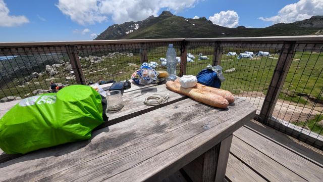
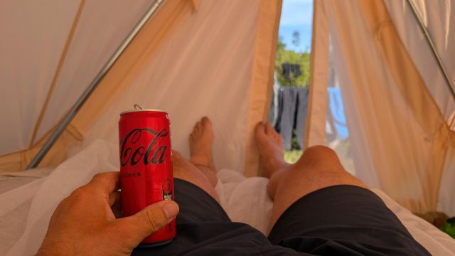
I realize I have an enormous need for fluids and drink one of my water bottles in one go, followed by two cans of Coke Zero. Nothing tastes as good as ice-cold soda when you have been hiking in the heat for many hours. I also take an electrolyte tablet since I have to hike further later. Then it’s tuna in sunflower oil on baguette/slices of bread. This is something I have developed a taste for on this trip. It is good and provides lots of energy. Both Matthew and I eat until we are stuffed and doze off in the heat outside the cabin afterward.
It’s half past twelve before Sam and Zhengwei arrive at the refuge. They have also had a tough time in the heat and are glad to have arrived. Once they have found a tent spot, they come and sit with us. We end up talking about our experiences and how wonderful our friendship has been. It becomes the highlight of the day when we meet at the refuge after a long and tiring stage. There are, of course, others I have gotten to know during the trip, but they have disappeared after a day or two. We four have followed each other from the first day until now. Now it will be without them for the rest of the trip. It’s quite sad, really. It’s strange what close bonds you form in a short time in settings like this.
Time flies and I have to break away and continue my stage. After all, I have 12 km left before I arrive at my refuge. We say goodbye and wish each other good luck with the rest of the trip and beyond. Then I set off on the second part of the stage. From Usciolu, there is a steep 150-meter climb to the mountain ridge on the other side of the valley. At the top, I turn around one last time and look down toward the refuge before continuing. All three are still sitting on the bench and have been watching me climb. They wave when they see me turn around. I wave back before I continue into the mountains. I am going to miss them on the trail.
On the map, the next stage looks quite simple. It looks like a steady descent toward my destination. It is not. There are several kilometers of up and down between the peaks on the ridge, and many of them have steep descents followed by steep ascents. It is also easy to go the wrong way here because the markings are hard to see and there are paths leading down from the peaks everywhere. Three times I follow the wrong path and have to go back up to find the markings. It’s not long before I hear the first clap of thunder, and I see dark clouds forming on both sides of the mountain ahead of me. I don’t want to be at the top of a mountain ridge if it starts to lightning and thunder, so I walk as fast as I can.
The dark clouds get closer and closer, and there is a loud crash of thunder. Suddenly, I also notice a strong smell of sulfur in my nose. I seem to remember reading that if you smell this, you should get to shelter as quickly as possible. I threw away my poles and found a suitable place and waited it out. Thankfully, nothing more came of it.
Just before I reach the end of the mountain range, it starts to rain. Not much at first, but I put on my rain gear and pack cover anyway. After 10 minutes, it stops. I was incredibly lucky that the thunderstorm didn't hit the mountain I was hiking on. It could have been very dramatic.
After a long and sweaty descent, I reach what I think is my destination. It turns out to be Bergerie Bassetta. The refuge I am heading to is three and a half kilometers away. Those kilometers were incredibly heavy to walk. I spend a lot of time on this stage and don’t arrive at Matalza until six o'clock. I check in and order dinner at the same time.
Dinner is served on the benches outside the refuge. On the menu today was pulled pork with potatoes and chocolate mousse for dessert. Everything was very good.
After dinner, it's just a matter of finding the bed in the tipi tent and recharging the body for a new day of new efforts.
Tomorrow is another double stage. It is a total of 21 km long and starts with a 500-meter climb. Fortunately, this is spread over several kilometers, so it is not that tough.
📷 View photos in Google Album
01.06.2026
Day 13: Refuge A Matalza to Village de Bavella
⬇ Download GPX file
The tipi tent at Malteza was an absolute tragedy. The bed, which consisted of an inflatable mattress placed on a folding frame, was completely impossible to sleep on. If you moved even a little bit, it made a terrible noise. And if you lay near the edge of the bed, you fell out. It wasn't insulated either, so it was ice-cold to lie on. It was just a tent with a bed in it and nothing else. No table, no chairs, no electricity. Nothing. I paid 50€ for that. What a scam. I will make sure this becomes known on the Facebook group for the GR20.
I was awake long before the alarm went off. I quickly packed up my gear and left Refuge Malteza as the first person out. By then it was six o'clock. It was a bitingly cold night and it was still cold when I started the hike. The first rays of sun were already hitting the refuge, but they didn't provide much warmth yet.
The goal today is Village de Bavella. This is a collection of wooden and stone cabins located at the Col de Bavella pass. Traditionally, this was the summer village for Conca. In recent years, it has been restored and renovated, and now houses rental cabins, a hotel, and restaurants.
Like the day before, I have combined two stages and am taking a lunch break at one of the stage destinations, Refuge d’Asinau. In total, it will be 21 kilometers of hiking. In easy terrain, you can easily manage double that in a day. On Corsica, such terrain is rare.
The first part of the stage alternates between following a gravel road and a trail until you pass Bergerie Croci (a private campsite) after five kilometers. Here, the trail leaves the gravel road and winds its way up through open areas/hills with a relatively easy incline. The last two hundred meters up toward the pass become considerably steeper. Large rocks mean you have to scramble and take high steps to get up. This is demanding. I am behind four Italians up this climb, and one of the women in the group is really struggling and has to stop often. I slip past at the first opportunity and say "Buon Giorno" as I pass them. They light up and think I am Italian. I have to admit that I heard them talking, so I wanted to greet them in their own language. That is how you quickly strike up conversations with others on the trail. They are from Sardinia and are hiking the southern part of the GR20 this year. They did the northern part a couple of years ago. We wish each other luck before I continue toward the pass.
Not long after, I am at the Bocca Stazzunsa pass (2025 m). Here, there is finally mobile coverage, so I can update my logs and read some news. I also try to sync the photos on my phone to the cloud so that the albums can be published. There are several hundred photos queued to be uploaded, and it isn't going fast. After two hours at the pass, I give up on this.
On the other side of the pass, I look down at Refuge d’Asinau. It is five hundred vertical meters down to it, and the trail is as usual steep and rocky. I have spent enough time at the pass and take a few more photos (just in case 😆) before I start the descent. It goes faster than expected, and only forty minutes later I am at the refuge. Here I order a lentil stew with sausages and a couple of Oranginas (orange soda). There are several familiar faces among the hikers sitting here. We have probably run into each other many times during the stages. There is usually some exchange of experiences when you meet like this. That is, among other things, what is unique about such hiking routes.
From the refuge, the trail continues steeply down into the valley. As I cross the river that flows down here, I enter dense forest and the trail levels out. Now the trail follows the valley side through this forest for nine kilometers. It stays at the same altitude, but it is not completely flat. Due to the terrain, you have to climb up twenty to thirty meters several times, only to go down those same meters again. This is incredibly tiring. Every time you start such an incline, you immediately notice that your legs do not want this. They are sore after all the ascents and descents. It takes a few vertical meters before they start working properly again. This happens every time.
Furthermore, I am aware that towards the end, there is a two-hundred-meter climb to the pass where Village de Bavella is located. After such a tiring stage, you spend your time dreading this. When I finally reach this climb, I just want to be done with it as quickly as possible, so I start without a break. Twenty-five minutes later, I am standing at the pass.
At the pass, it is full of people, cars, and motorcycles. There is a road over this pass, and it is clearly a popular stop for tourists. A little below the pass, I see my hotel, and I stroll down to check in. Tired and sweaty, I sit down at the tables outside and gulp down two ice-cold Cola Zeros. While I sit there, several of the other hikers I met earlier show up. They have rooms here too. Yes, you are not as unique in your planning as you think 😄
Another tough day is over on the GR20, and tomorrow the final stage awaits. That is when I arrive at the village of Conca, where the trip ends. It is about a thousand vertical meters down and 17 km. Of course, it is not all downhill there either.
📷 View photos in Google Album
02.06.2026
Day 14: Village de Bavella to Conca
⬇ Download GPX file
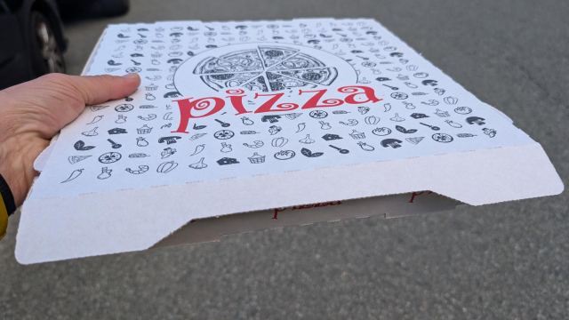
The room at Auberge Bavelle was perfectly fine, even though the only window was in the entrance door. Since there was a shared balcony outside, you had to keep the blinds down to have any privacy. But I managed to shower and wash my clothes before heading up to the restaurant to have a beer. The waiter reminded me that dinner started at seven – in an hour, that is. I hadn't really intended to eat there, preferring to order a takeaway pizza at the restaurant next door instead. So, after my beer, I went and picked up a pizza and another beer there.
Full and satisfied, I was relaxing on the bed when there was a knock at the door. It was the waiter, wondering if I wasn't coming down to eat. I didn't quite understand what he meant by this. Well, it turned out that dinner and breakfast were included in the price🙄 And in the booking confirmation I received from them, I could now see this. It was indeed in French, but still easy to understand. I was full and couldn't face any more food, so I declined the dinner. Since I was going to check out early, I wouldn't be able to have breakfast either, so I asked if he could arrange a baguette with cheese and ham for me to take with me. This was no problem, and in a short time, he had sorted it out. Super service👍
At a quarter past six, I was ready to start my final stage. I wanted to get an early start to catch the bus to Porto Vecchio as early as possible. I couldn't find the bus schedule from Conca online but knew it ran regularly. I was looking forward to finishing the trip now, even though it will also feel strange to leave this bubble.
The sun is low on the horizon, and the haze around the island is blocking the sun's rays from breaking through properly. It is, however, noticeably warmer today than it has been previously.
The trail for the GR20 continues from the parking lot right behind the hotel. Here, the trail descends 200 meters in elevation to the bottom of a valley, only to climb back up 200 meters to the Foce Finosa pass (1208 m) on the other side. This is how it has often been on this trip. It usually goes down for a bit, only to go up just as much again. On this stage, this happens several times, even though the elevation is gradually decreasing.
After four kilometers, I arrive at Refuge d'i Paliri. Here, I stop for a couple of sodas and a coffee. Some French trail friends have spent the night here and are getting ready to depart. They say there is a bus from Conca to Porto Vecchio at half-past one. It is now half-past seven, and it should be fine to reach it. I don't stay long myself but continue as soon as I finish my coffee.
From the refuge, it continues down into a pine forest, and the path now winds around the mountain peak Punta Tafunata d’I Paliri for a bit, then climbs back up to another pass, Bocca di u Sordu (1040 m). The terrain opens up more now, making it possible to look down towards the coast to the south. I am now also meeting more hikers heading north. They have started early from Conca and have likely already felt the tough conditions in the mountains here.
Shortly after passing the ruins of the Bergeries de Capeddu, I come to the river Ruisseau de Punta Pinzuta. This is the only water source I have seen since Refuge d'i Paliri. There is also a waterfall here and some beautiful swimming holes. There are quite a few people sitting around these pools, but I don't see anyone swimming. There is a warning against drinking the water here, but I fill a bottle with water from the river anyway in case I run out. I will filter the water before drinking it regardless.
On such trips, I usually have three water bottles with me. One of the bottles is marked so that it stands out from the other two (on this trip, I have two blue and one red bottle). When I start the day, I fill all the bottles with clean water and start by drinking the red one first. If I later pass rivers where I am unsure of the water quality, I fill up the red bottle. Then I know that that water must be filtered before it is drunk. At camp, I clean it and fill it with clean water again. That way, I have better control over what I drink along the way. A simple and straightforward system.
From the river, it rises steeply in zigzag turns, passes through a notch in the mountain, and then descends gently down to a gorge. After passing the gorge, it goes up again for a little while until you reach the pass, Bocca d’Usciolu (587 m). Here, you have to pass through a narrow opening through the mountain ridge to continue. On the other side, the mountains end, and it is all downhill to Conca. It becomes almost a kind of door in and out of the mountain world on Corsica. This is a fairly well-known point on the GR20, and the opening is flooded with photos on social media.
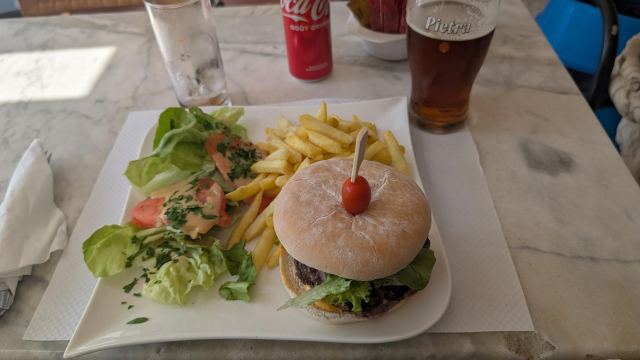
It's a quarter past twelve when I arrive at Bar du GR20 in Conca, which is considered to be the official start and end point of the trip. The bus is already parked outside, and the driver is eating lunch. After buying a ticket for the bus, I sit down at a table and order a Coke Zero, a beer, and a hamburger.
The backpack has now been put down for the last time on this trip, and Corsica has been crossed. The GR20 definitely lived up to its reputation. It has been a trip of great contrasts. The start offered heavy and technically demanding climbing over snow-covered passes in the north, while longer and more grueling stages along green mountain ridges awaited in the south. There have been moments where leaden legs, heat, and steep climbs almost took the heart out of me, but it has still been a fantastic experience filled with powerful nature and a great sense of achievement.
Perhaps the most special thing about such a trip is the people you meet along the way. Of all those I greeted, it was especially Sam, Zhengwei, and Matthew who quickly became my regular "trail family." We followed each other through the tough days, and even though we had to say goodbye before the actual finish line, they made the trip infinitely better.
A long and unforgettable journey over Corsica's mountain ridge is over. Thanks for joining me!
📷 View photos in Google Album