20.12.2025
Cooperative in Mogan to Tauro
⬇ Download GPX file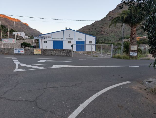
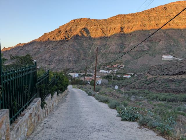
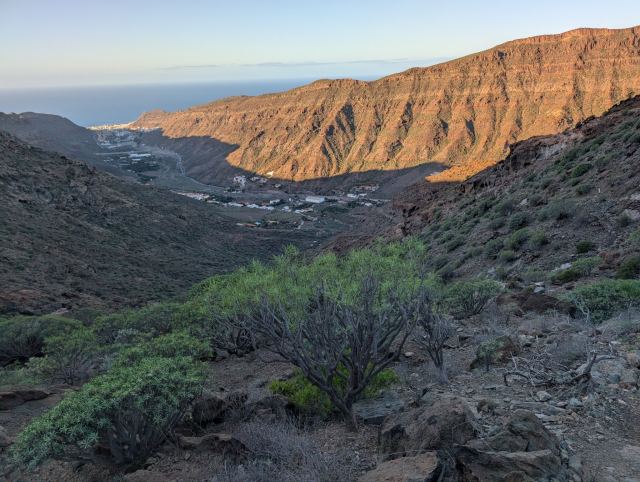
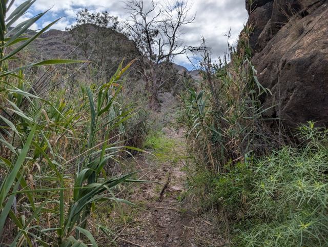
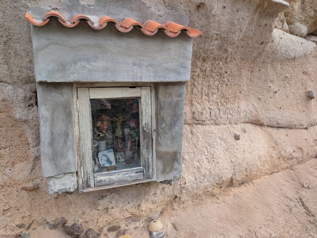
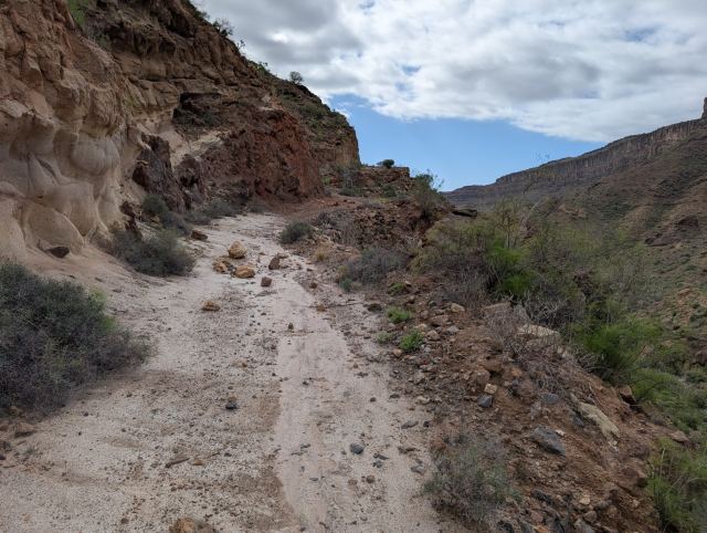
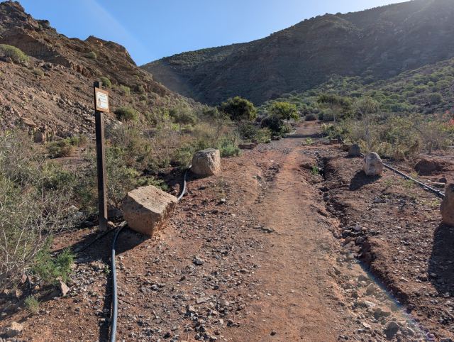
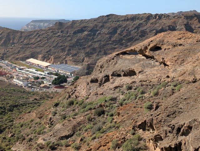
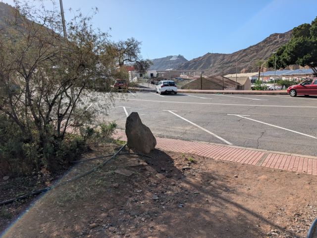
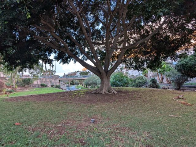
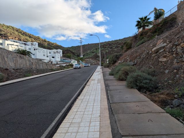
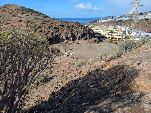
The hike starts at the Cooperativa in the Mogán Valley, a former fruit and vegetable warehouse for local farmers. Follow the road across the bridge to the first intersection and turn left. Continue until the road ends at a small parking lot; from here, the trail begins.
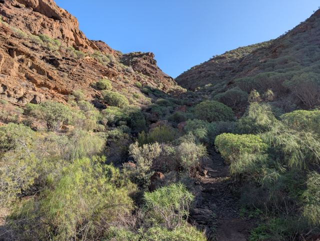
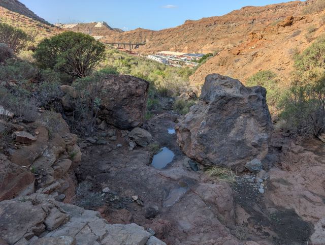
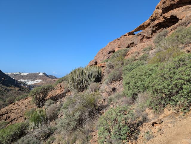
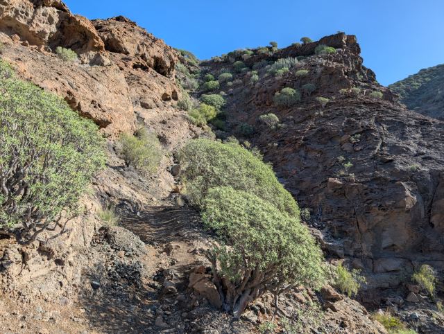
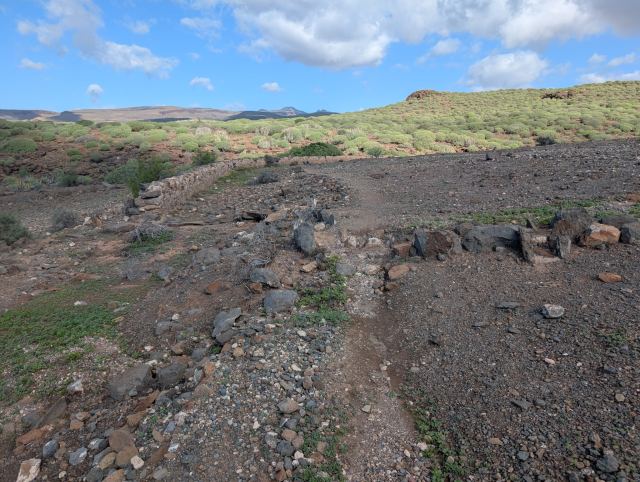
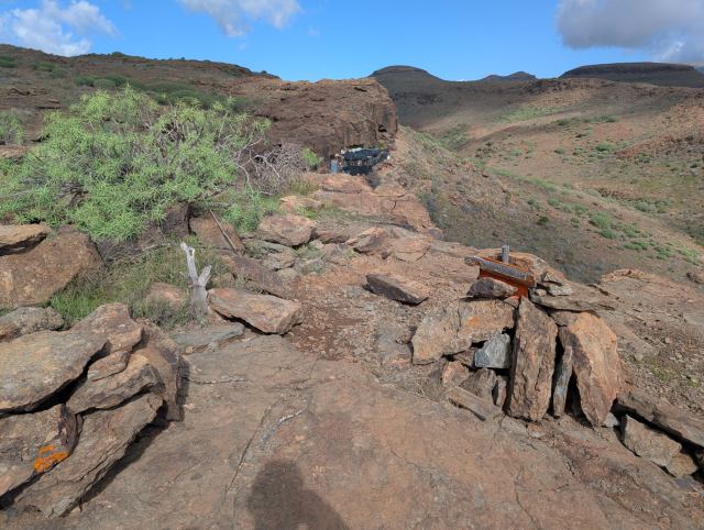
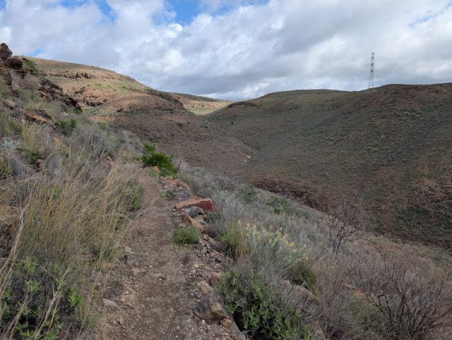
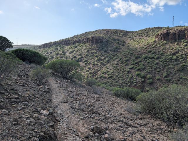
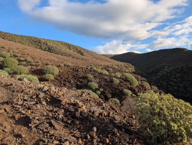
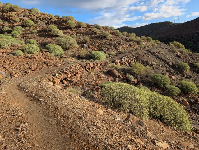
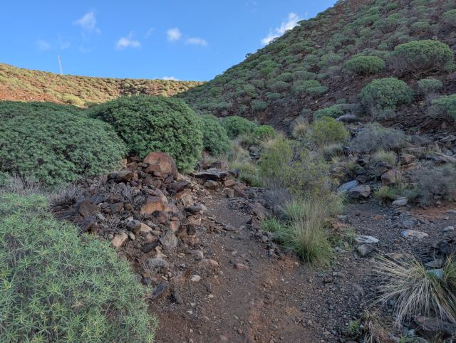
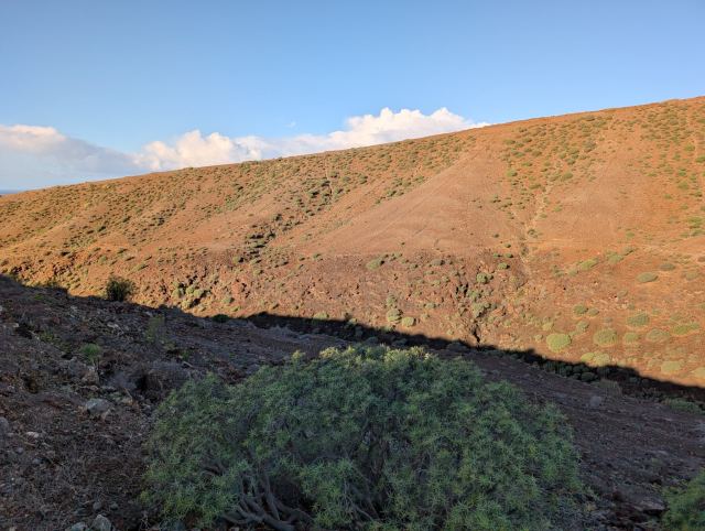
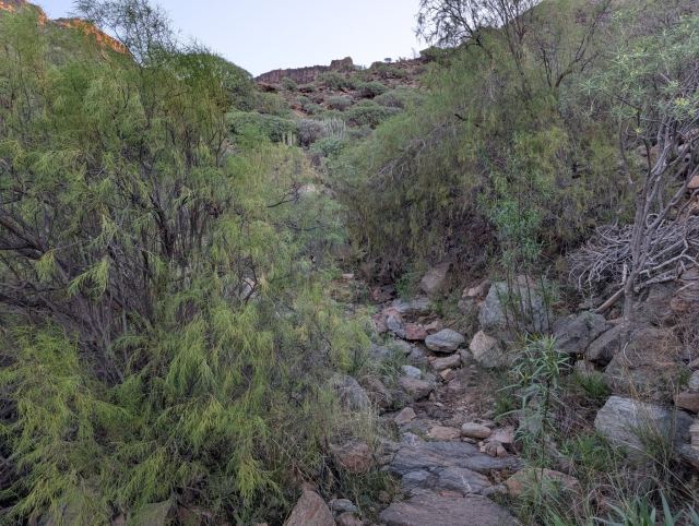
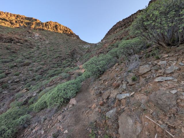
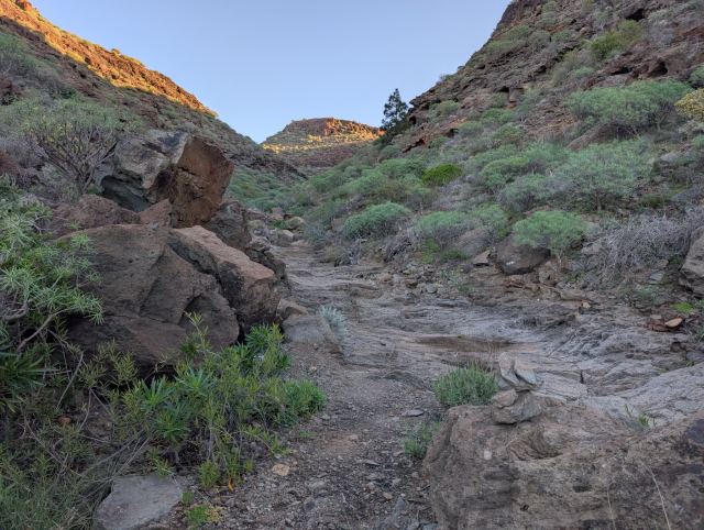
The trail zigzags up the mountainside until you reach the edge of the ravine at an altitude of 540 meters, an ascent of approximately 400 meters. From here, the trail continues with a steady incline along the edge of the valley ravine until it meets the trail from the Windmill (El Molino de Viento) at an altitude of 745.
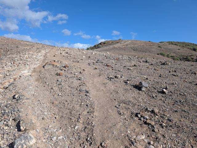
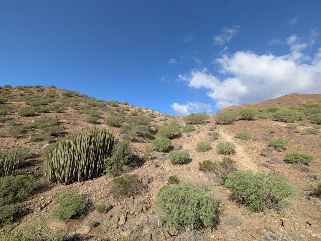
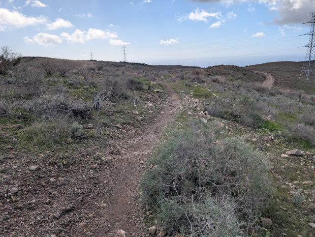
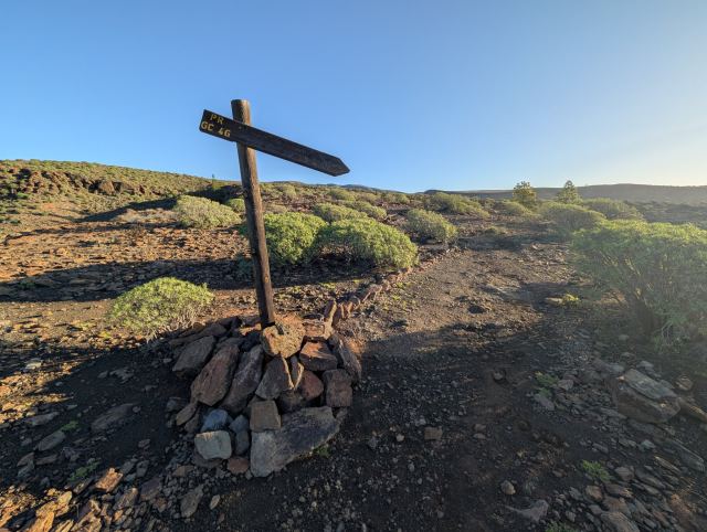
The route continues across the plateau with the same steady incline. Here, the first pine trees appear, a sign that you are approaching the more lush part of the island.
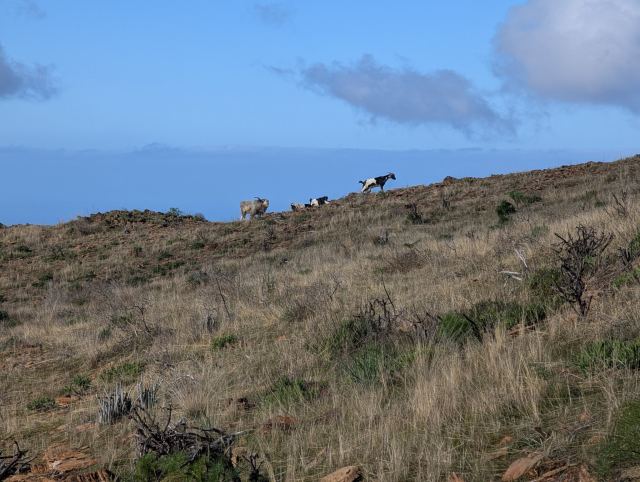
On my way toward a hill, I came across a herd of goats. Usually, they don't care much about people, but in this herd, there was an unusually large and aggressive buck with only one horn. When it caught sight of me, it lowered its head and snorted. The buck gave clear signs that I should not come any closer, so I backed away and walked through the terrain below the herd to get around it.
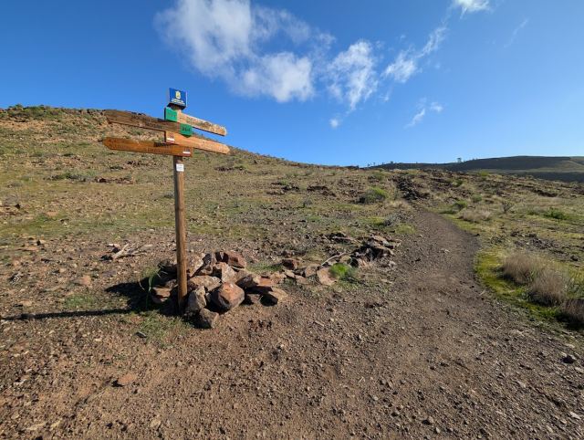
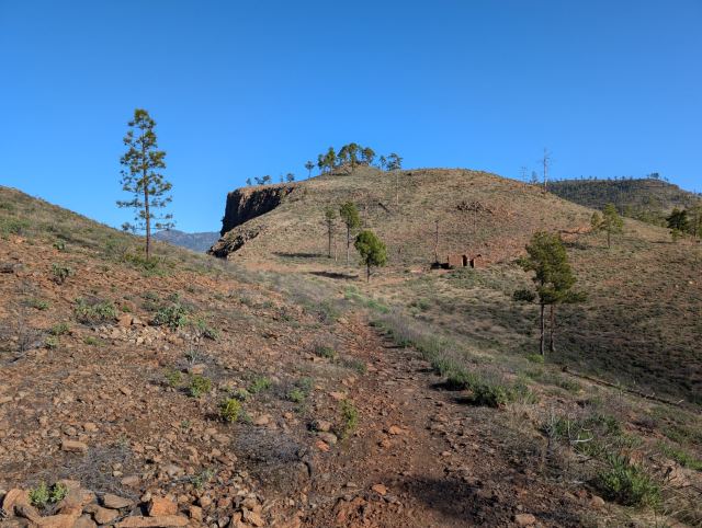
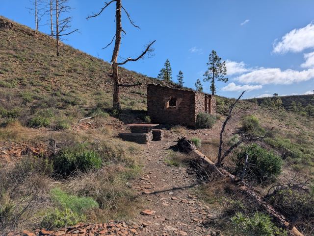
A few hundred meters later, I arrived at the hiking destination "Two Rooms and a Kitchen" (Degollada de las Lapas). After a quick lunch, I continued east toward the trail junction and turned south toward Tauro. Here, you can also choose to continue toward Montaña de Tauro or Degollada de Cortadores, where the gravel road from Puerto Rico ends.
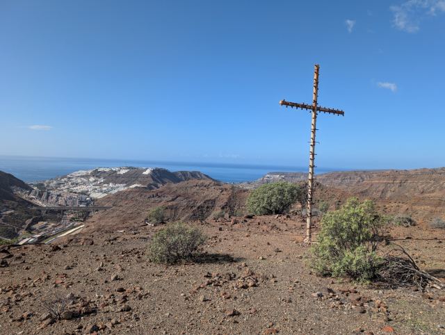
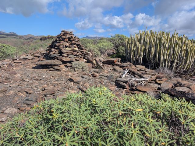
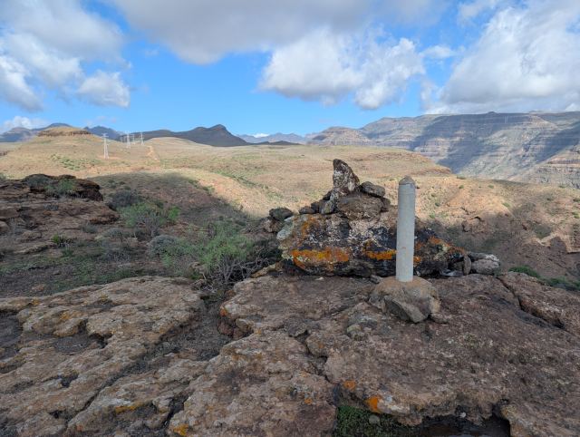
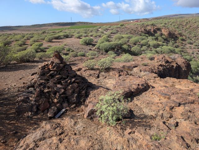
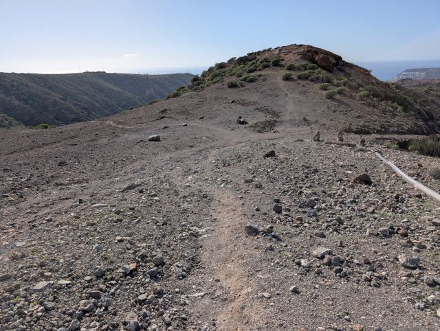
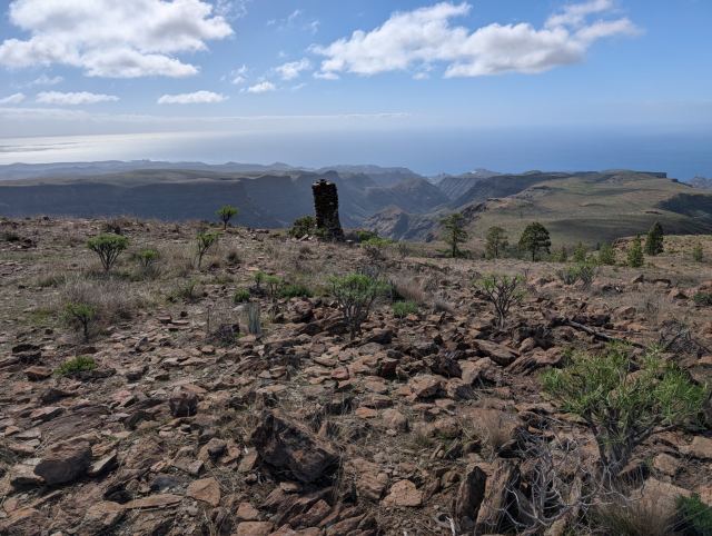
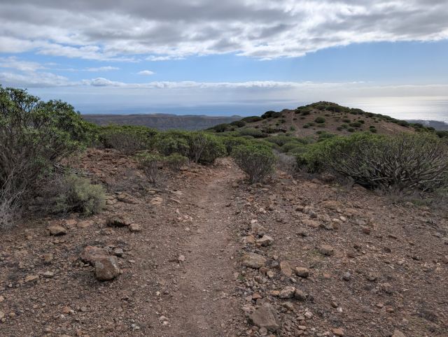
The trail toward Tauro follows a mountain ridge over the peak Alto del Mojón (943 m.a.s.l.) and crosses the valley to Lajas de Medina. Here, the terrain flattens out, and you can see down the mountain ridges toward the sea. I aimed for the ridge heading toward Playa del Cura and Playa de Tauro. Here, I met a group of mountain bikers on their way up from Taurito. They had had a tough climb and seemed to appreciate the flatter section. Shortly after, a large cairn marks the start of a steep descent.
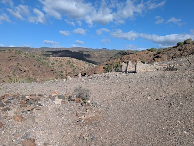
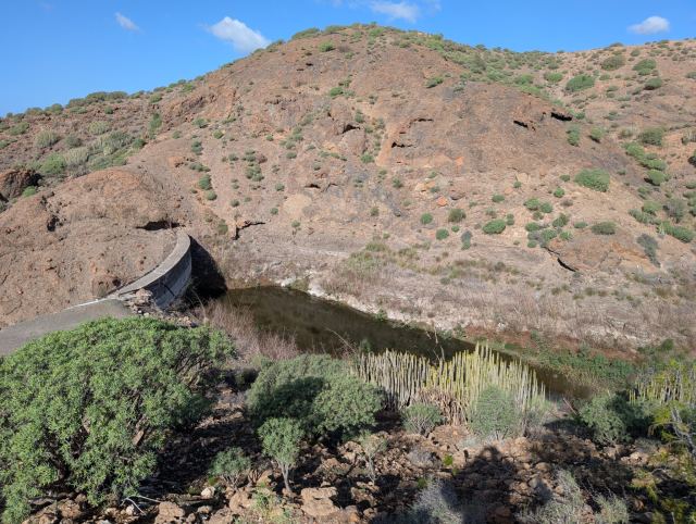
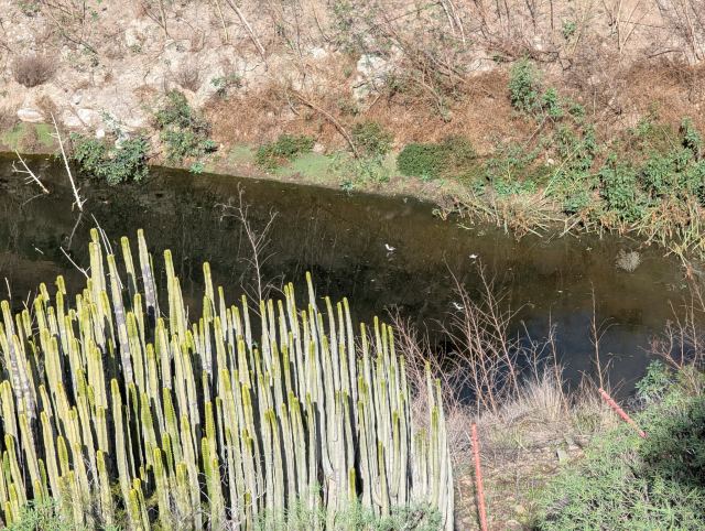
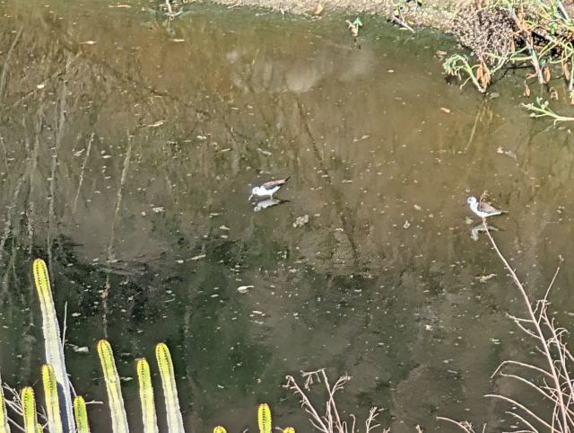
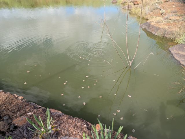
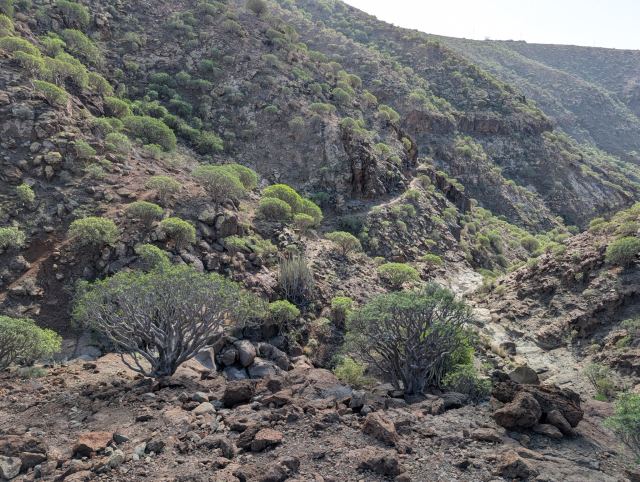
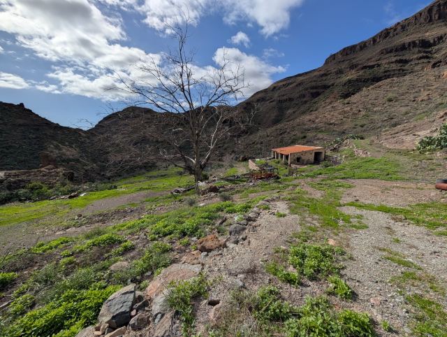
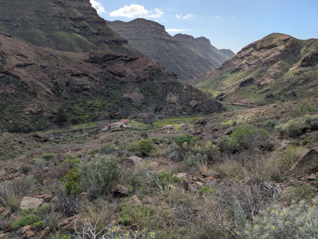
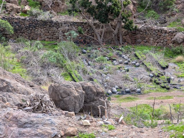
Eventually, I turned onto the trail that goes down into the Tauro Valley. It first runs diagonally along the mountainside before zigzagging 350 meters down to the valley floor. Here lies an abandoned farm where plant nursery operations were once conducted; old pots lie scattered in the fields, and the buildings have fallen into disrepair. Water was flowing in the riverbed next to the farm, likely from Presa del Embudo further up the valley, which has filled up after the rain in recent weeks.
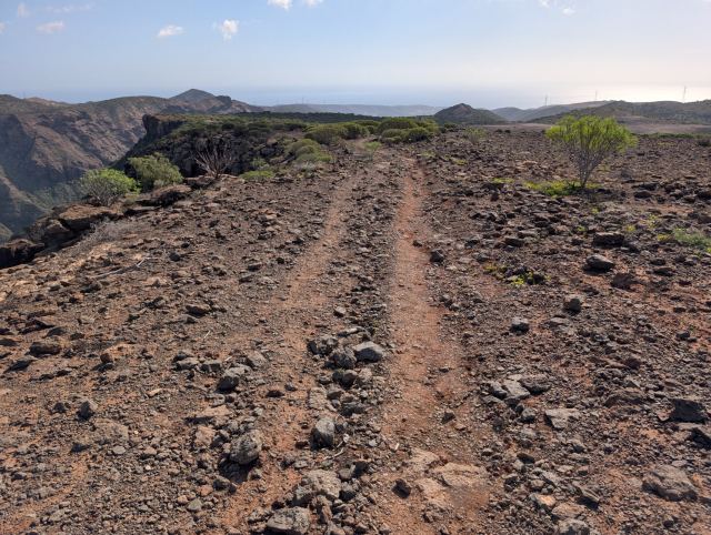
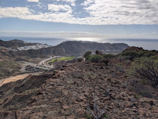
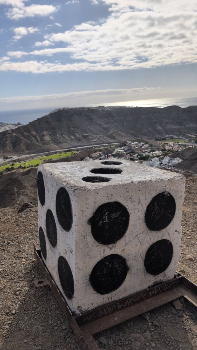
From the farm, I followed an old gravel road that, after a couple of kilometers, climbs up the opposite side of the valley. This follows the mountain ridge down toward Tauro, past familiar spots like "The Summer Barn" and "The Die," before ending at the residential area.
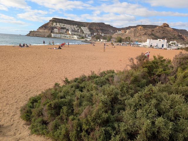
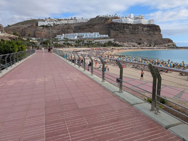
I continued down toward the sea via the golf course, crossed the road to Puerto de Mogán, and reached the Vistamar restaurant (formerly Pio Pio) by the beach. From there, I followed the promenade home to the apartment in Nydalen (Agua de la Perra).
📷 View photos in Google Album
The trail zigzags up the mountainside until you reach the edge of the ravine at an altitude of 540 meters, an ascent of approximately 400 meters. From here, the trail continues with a steady incline along the edge of the valley ravine until it meets the trail from the Windmill (El Molino de Viento) at an altitude of 745.
The route continues across the plateau with the same steady incline. Here, the first pine trees appear, a sign that you are approaching the more lush part of the island.
On my way toward a hill, I came across a herd of goats. Usually, they don't care much about people, but in this herd, there was an unusually large and aggressive buck with only one horn. When it caught sight of me, it lowered its head and snorted. The buck gave clear signs that I should not come any closer, so I backed away and walked through the terrain below the herd to get around it.
A few hundred meters later, I arrived at the hiking destination "Two Rooms and a Kitchen" (Degollada de las Lapas). After a quick lunch, I continued east toward the trail junction and turned south toward Tauro. Here, you can also choose to continue toward Montaña de Tauro or Degollada de Cortadores, where the gravel road from Puerto Rico ends.
The trail toward Tauro follows a mountain ridge over the peak Alto del Mojón (943 m.a.s.l.) and crosses the valley to Lajas de Medina. Here, the terrain flattens out, and you can see down the mountain ridges toward the sea. I aimed for the ridge heading toward Playa del Cura and Playa de Tauro. Here, I met a group of mountain bikers on their way up from Taurito. They had had a tough climb and seemed to appreciate the flatter section. Shortly after, a large cairn marks the start of a steep descent.
Eventually, I turned onto the trail that goes down into the Tauro Valley. It first runs diagonally along the mountainside before zigzagging 350 meters down to the valley floor. Here lies an abandoned farm where plant nursery operations were once conducted; old pots lie scattered in the fields, and the buildings have fallen into disrepair. Water was flowing in the riverbed next to the farm, likely from Presa del Embudo further up the valley, which has filled up after the rain in recent weeks.
From the farm, I followed an old gravel road that, after a couple of kilometers, climbs up the opposite side of the valley. This follows the mountain ridge down toward Tauro, past familiar spots like "The Summer Barn" and "The Die," before ending at the residential area.
I continued down toward the sea via the golf course, crossed the road to Puerto de Mogán, and reached the Vistamar restaurant (formerly Pio Pio) by the beach. From there, I followed the promenade home to the apartment in Nydalen (Agua de la Perra).