Dag 10: Lac de la Muzelle til Le Bourg d'Oisans
I dag er det ikke noe stress med å komme seg tidlig av gårde, så jeg hadde satt alarmen til klokken sju. Det er kaldt, og jeg blir liggende en stund før jeg kommer meg ut av soveposen. Temperaturen er ikke mer enn 5 grader på sensoren som er festet på sekken inne i teltet. Det er mye kondens på innsiden av teltet, og jeg ser at jeg glemte å åpne lufteventilene før jeg la meg.
Ute har solen nå krøpet over fjellene og treffer fjellsiden på motsatt side av dalen. Teltduken er våt på utsiden også, så det har nok vært høy luftfuktighet i natt. Jeg ønsker å få tørket teltet før jeg pakker det ned for siste gang. Det vil ta en stund før solen treffer teltet, så jeg spiser frokost og pakker ned utstyret mens jeg venter. Klokken blir ti før jeg er klar til å gå. Det er bare noen få telt igjen på sletten nå.
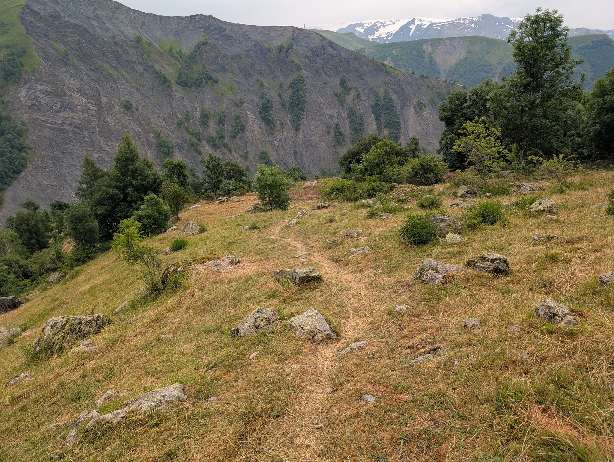
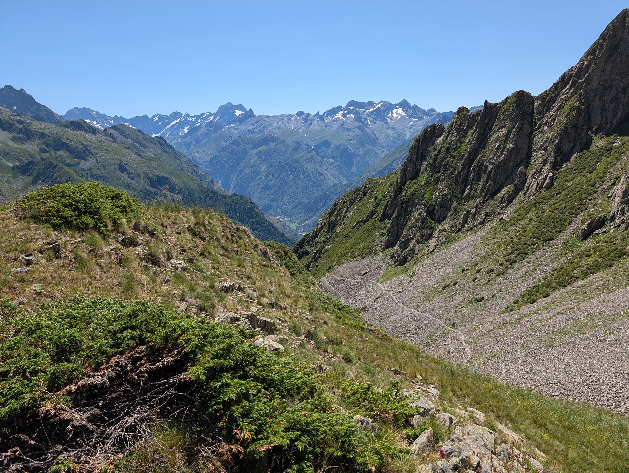
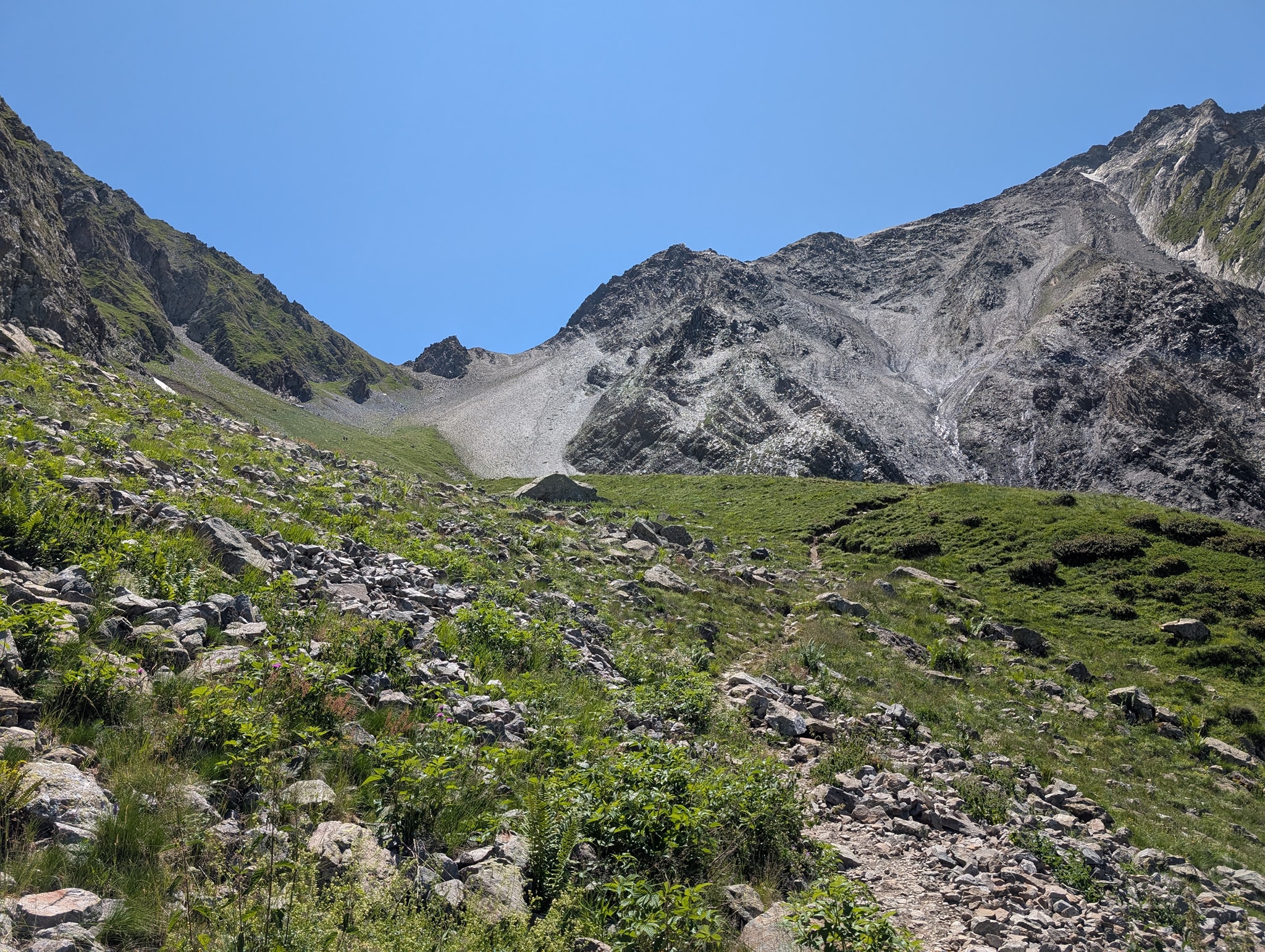
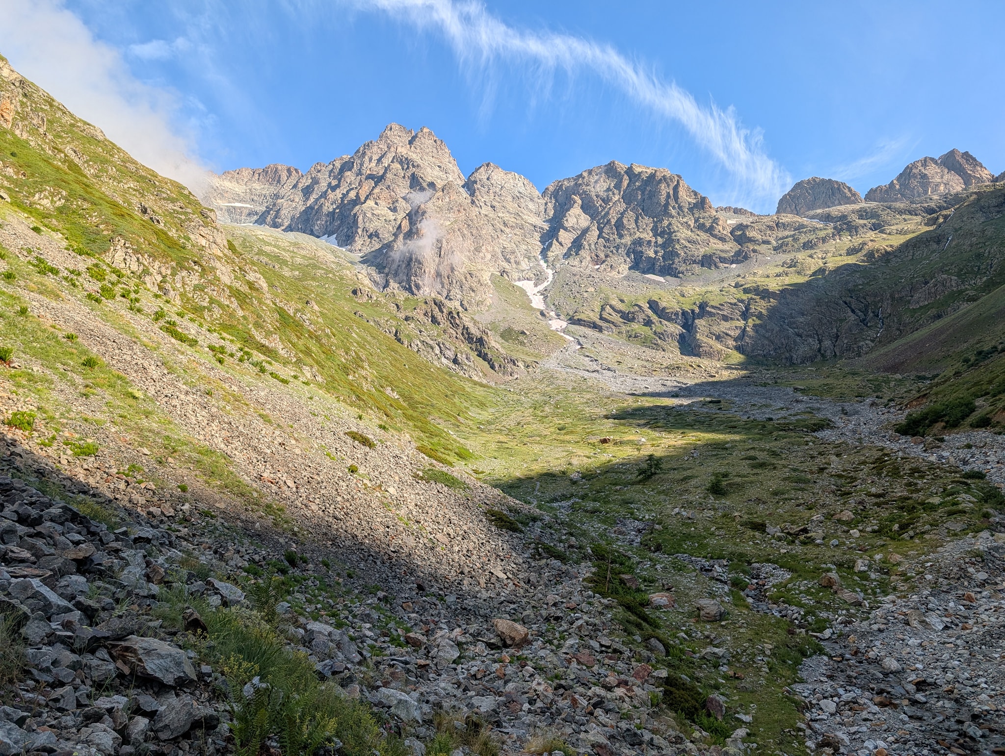
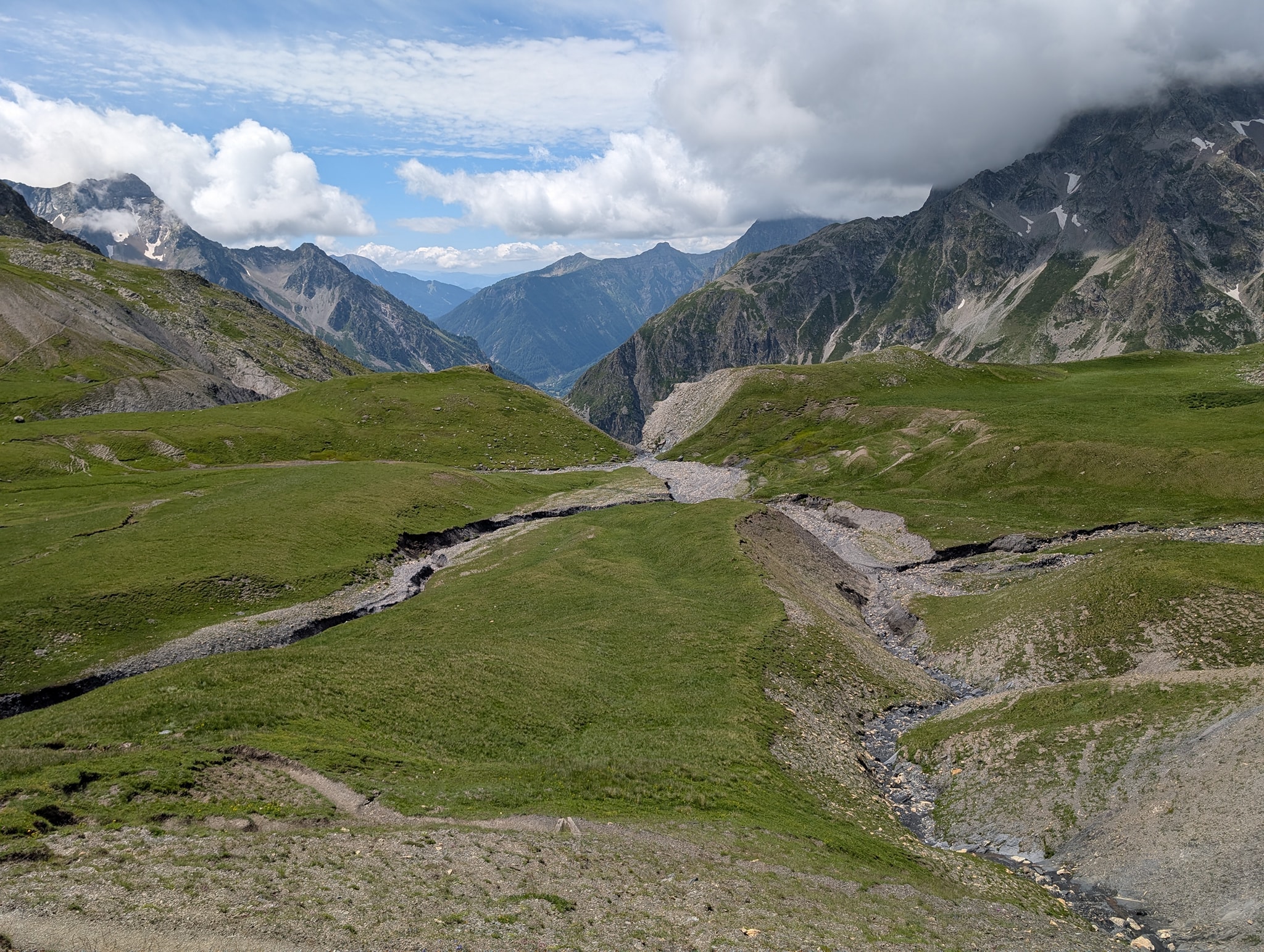
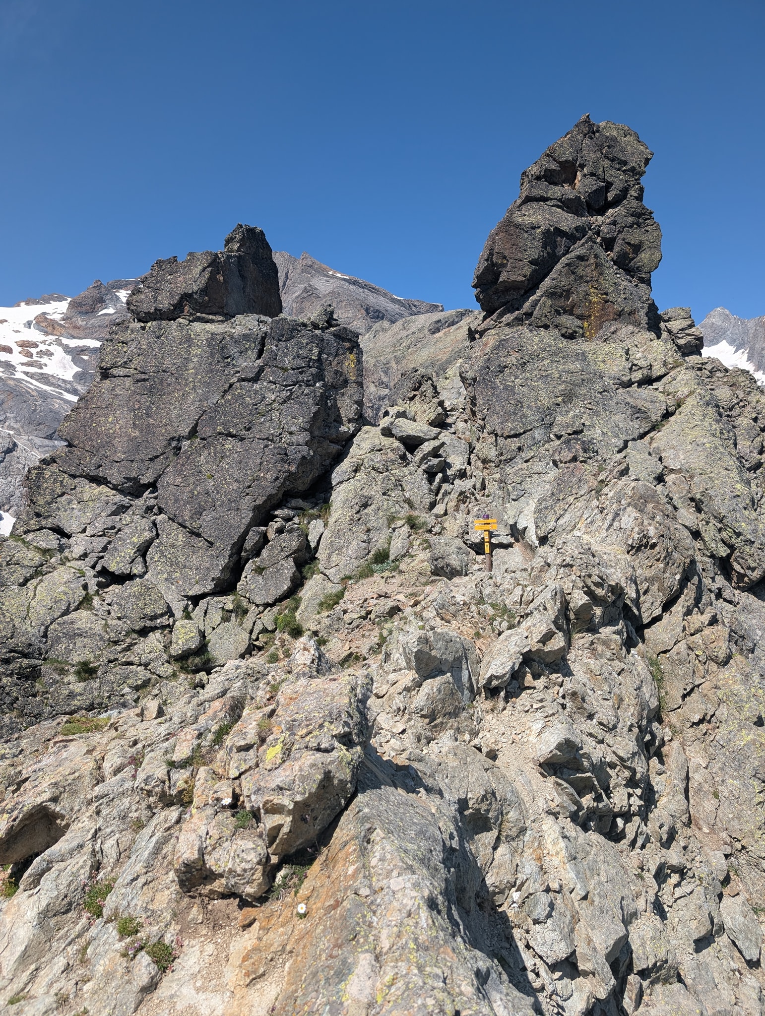
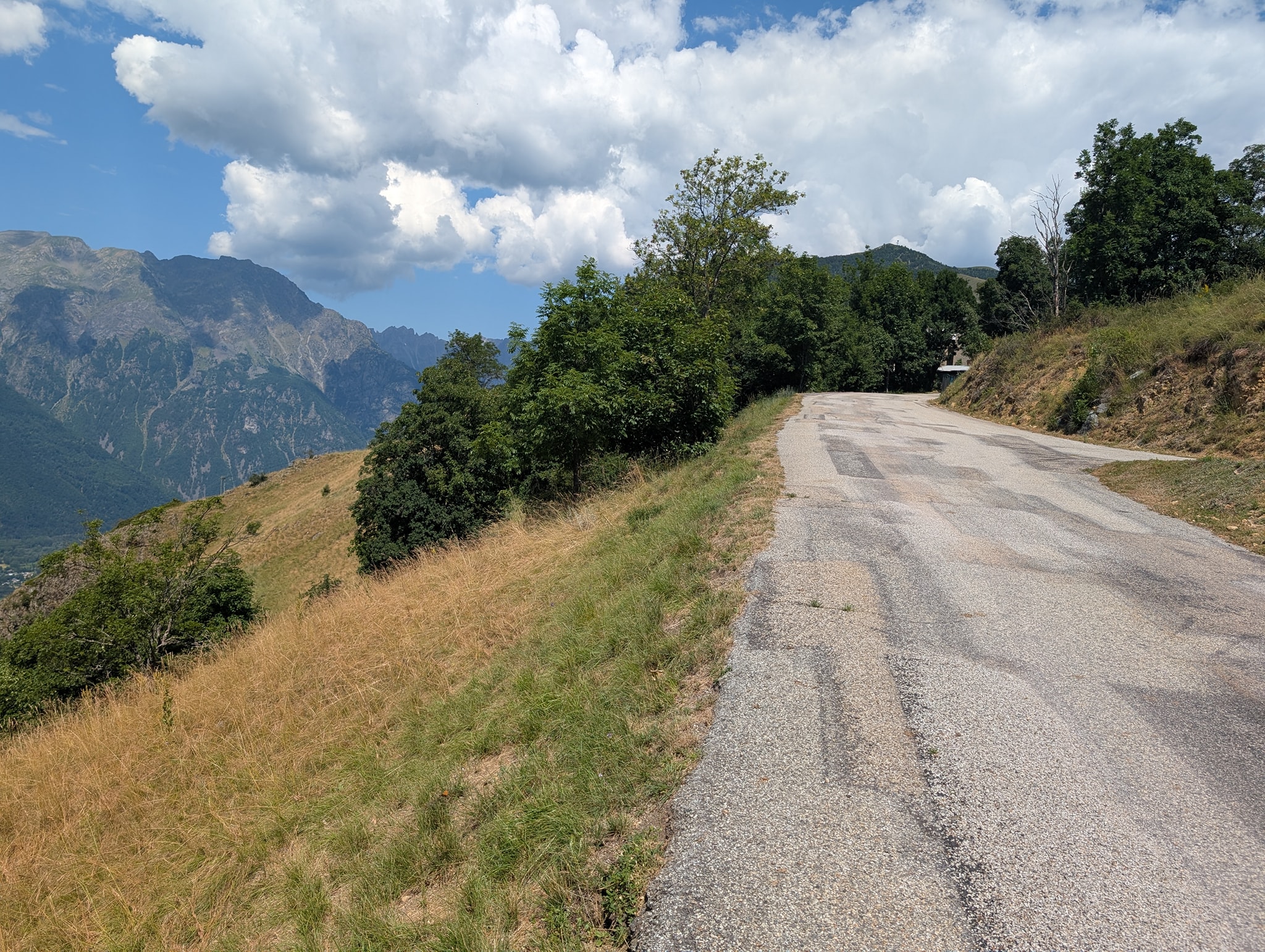
Også dagens etappe starter med bratt stigning. Solen tar godt nå, og temperaturen er 25 grader. Det er riktignok bare 400 meter stigning i dag, men det blir likevel tungt i denne varmen. Stien går i sikksakksvinger opp den bratte fjellsiden; i starten er det slakk stigning, men mot slutten blir det veldig bratt. Beina er fortsatt preget av gårsdagens etappe, og det blir svært tungt mot slutten av stigningen. Etter litt over en time når jeg toppen av passet, Col du Vallon (2546 moh.).
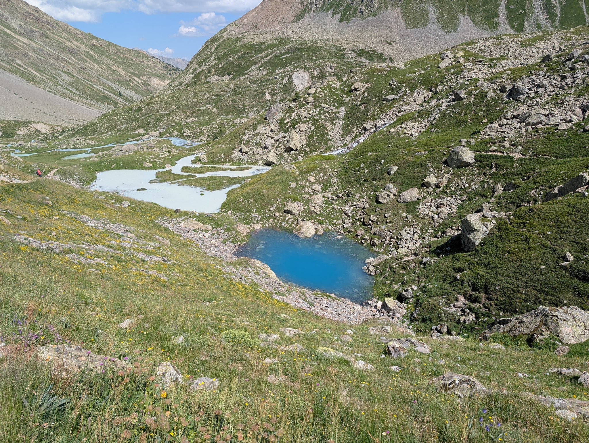
Det blir en liten pause her før jeg fortsetter ned på den andre siden av passet. Dagens mål, Le Bourg-d'Oisans, ligger på 720 meters høyde. Det betyr at jeg har ca. 1800 høydemeter med nedstigning foran meg. Først skal jeg ned til vannet Lac Lauvitel, som ligger på 1500 meters høyde.
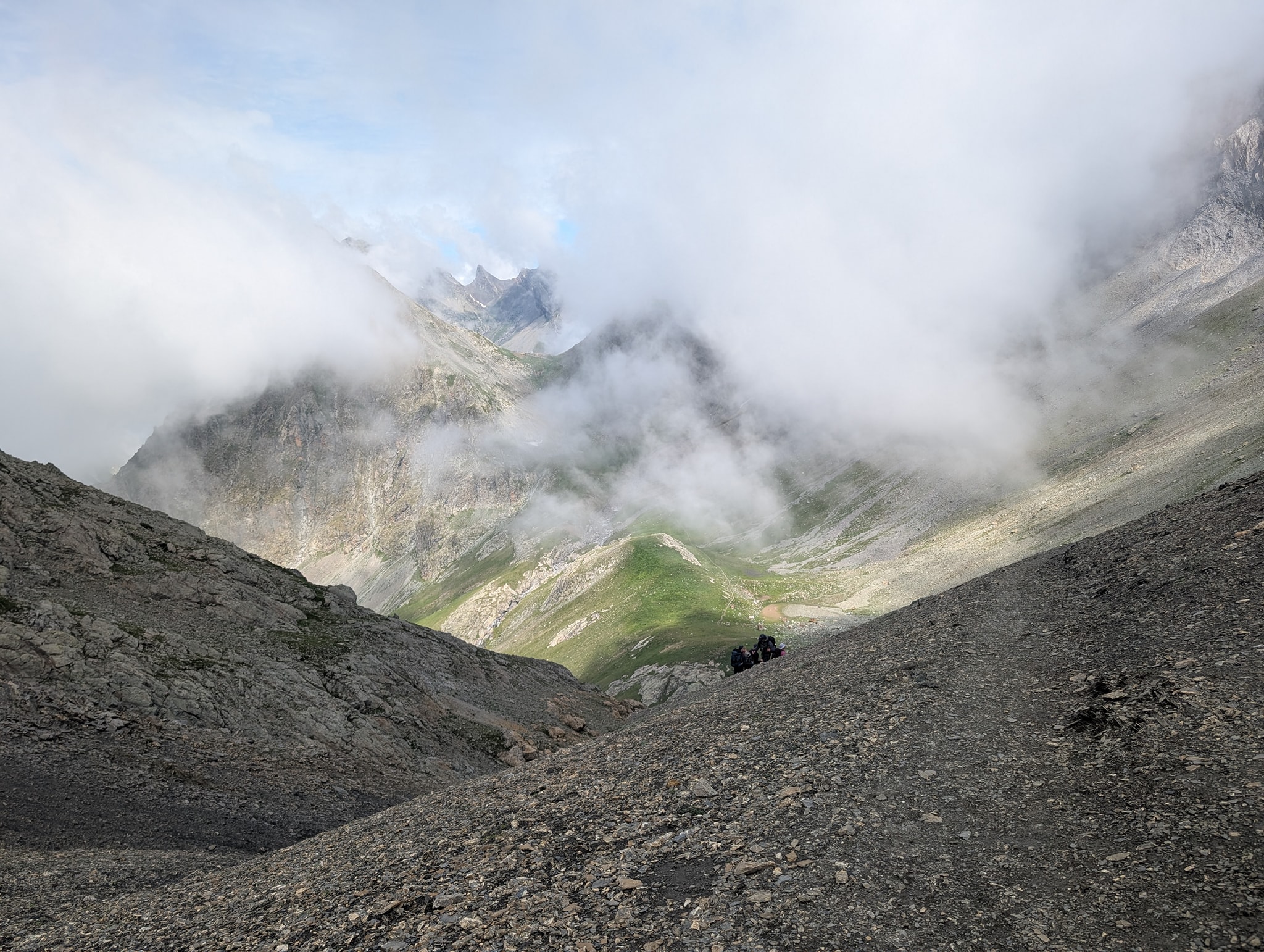
Første del av denne nedstigningen går på en sti som er lett å gå på. Etter hvert blir den mer steinete, bratt og enkelte steder veldig eksponert. Det er montert sikringsvaiere i de mest utsatte partiene. For første gang på denne turen mister jeg balansen og faller på den steinete stien med knærne først. Jeg klarer så vidt å ta meg for med hendene, slik at ikke resten av kroppen også deiser i bakken. Det blir noen saftige skrubbsår på leggene, og det verker i det venstre kneet som fikk hardest medfart.
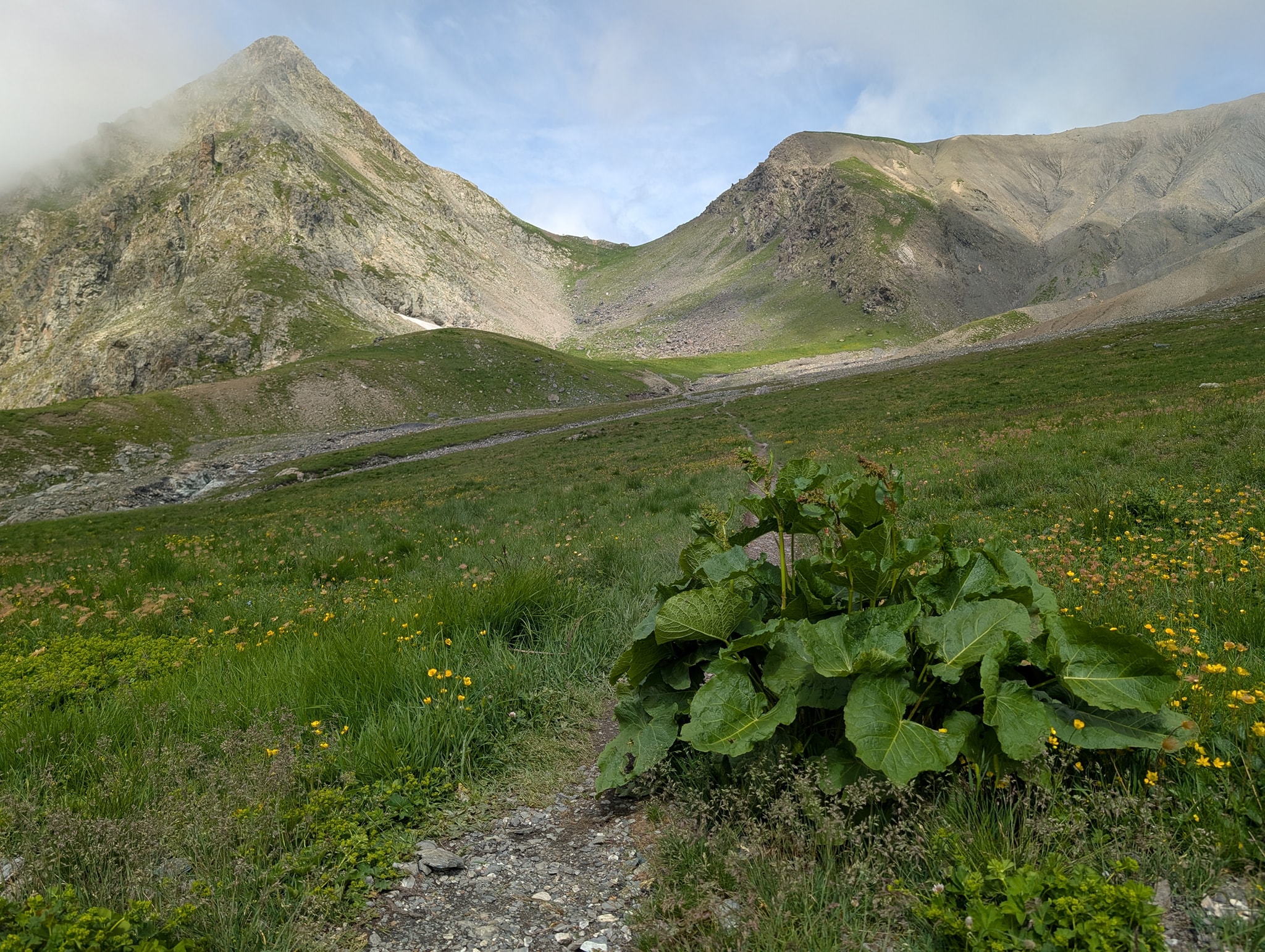
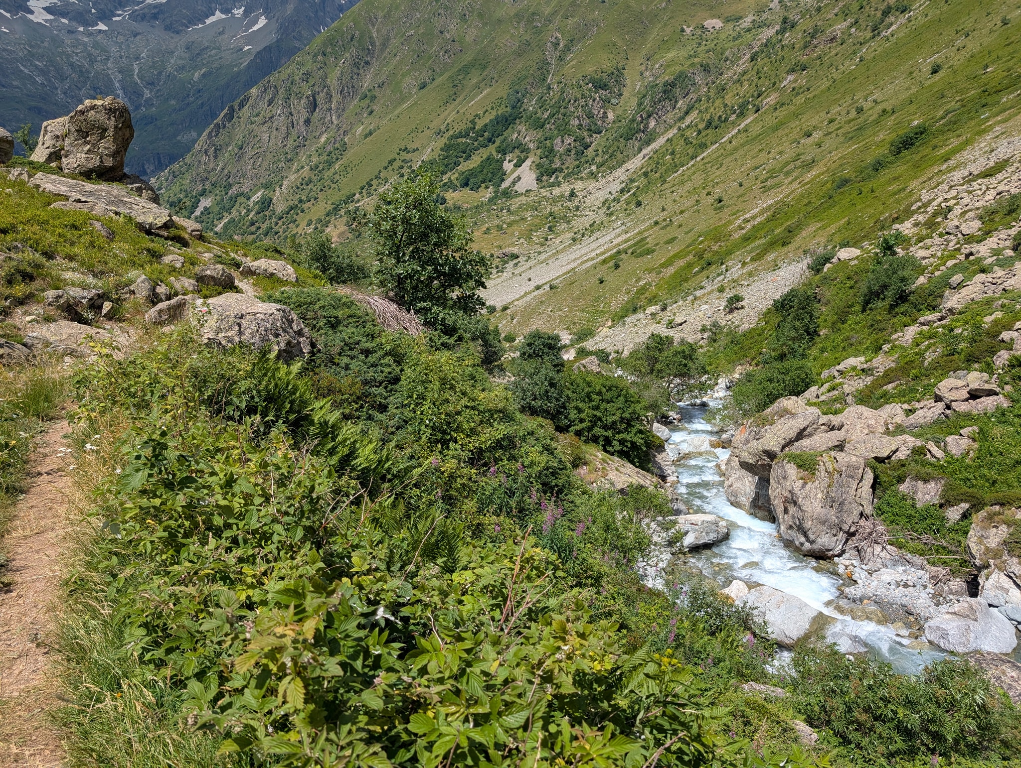
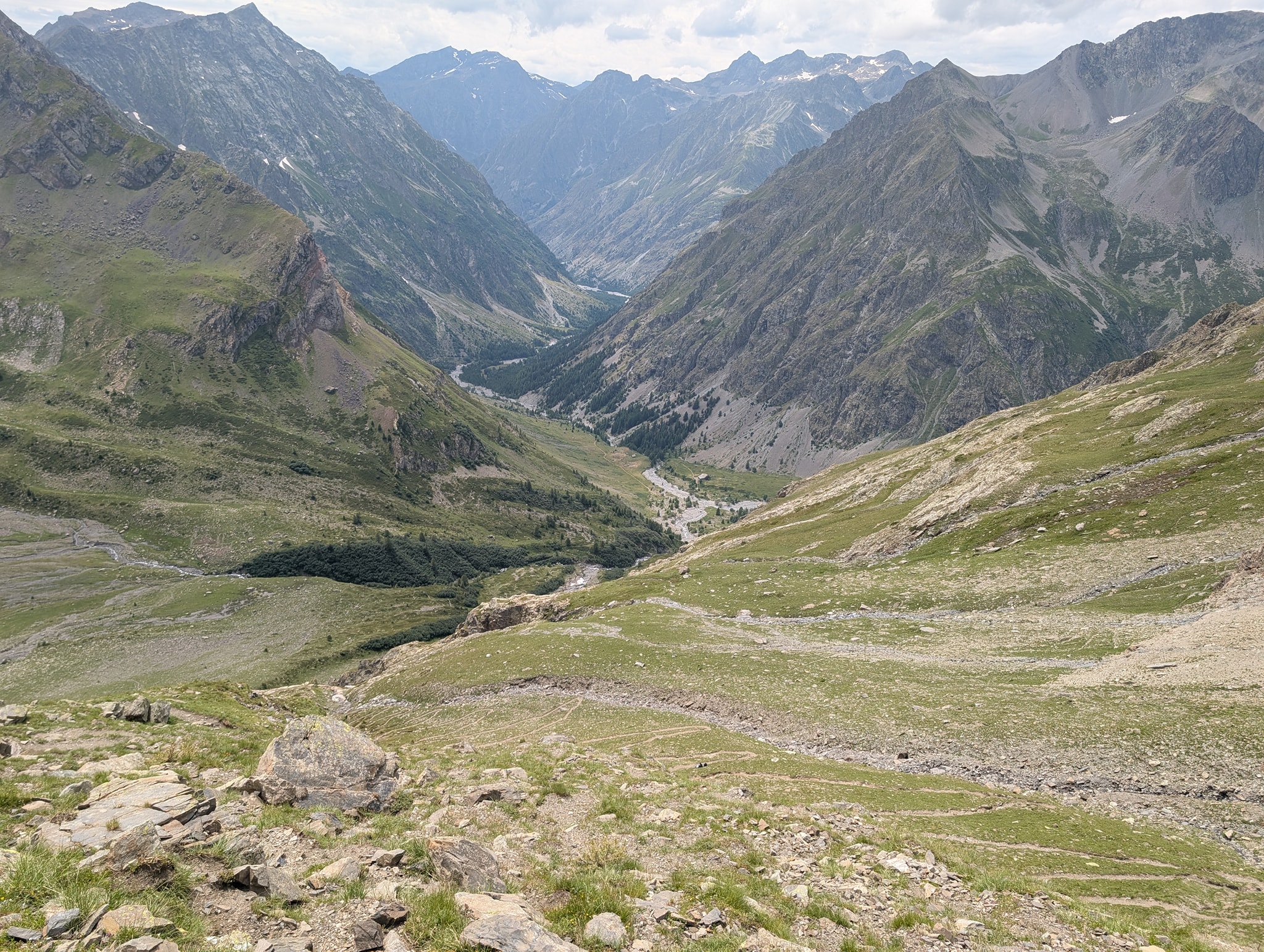
Når jeg fortsetter vandringen, merker jeg fortsatt smerter i dette kneet, så jeg prøver å bruke stavene for å motvirke belastningen. Dette gjør at tempoet går betraktelig ned. Etter hvert kan jeg se vannet, som er neste delmål, langt der nede under meg. Lenger ned i dalen kan jeg også se Le Bourg-d'Oisans. Det er et stykke ned dit, og jeg skjønner at dette kommer til å ta tid.
På vei ned møter jeg folk som er på vei opp til Lac du Muzelle. De jeg snakker med, spør alle om det samme: hvor langt det er igjen, og om det finnes vannkilder lenger opp. De har hatt en tøff oppstigning i varmen. Det blir betydelig varmere jo lenger ned jeg kommer, så jeg fyller vannflaskene hver gang jeg har mulighet.
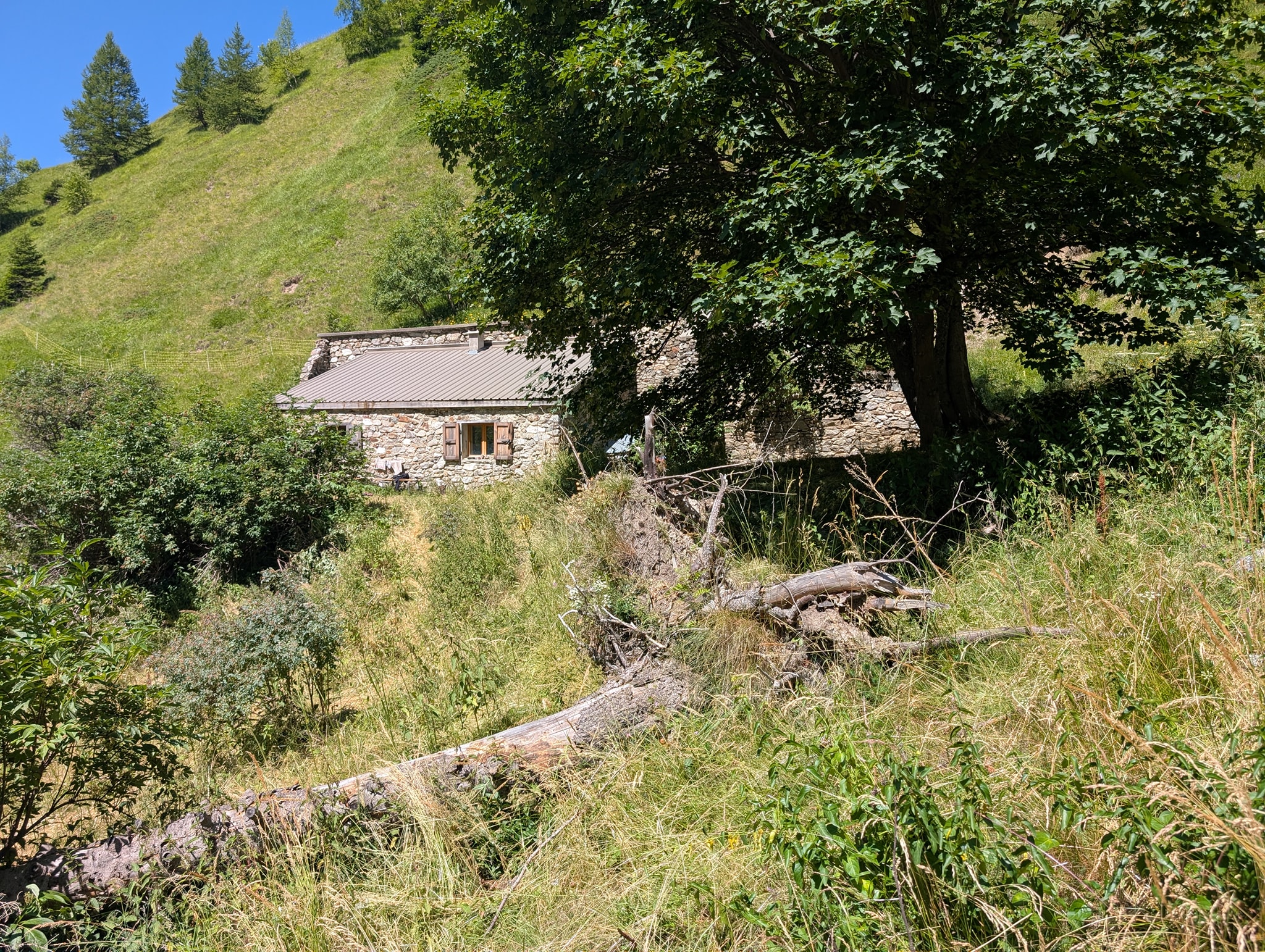
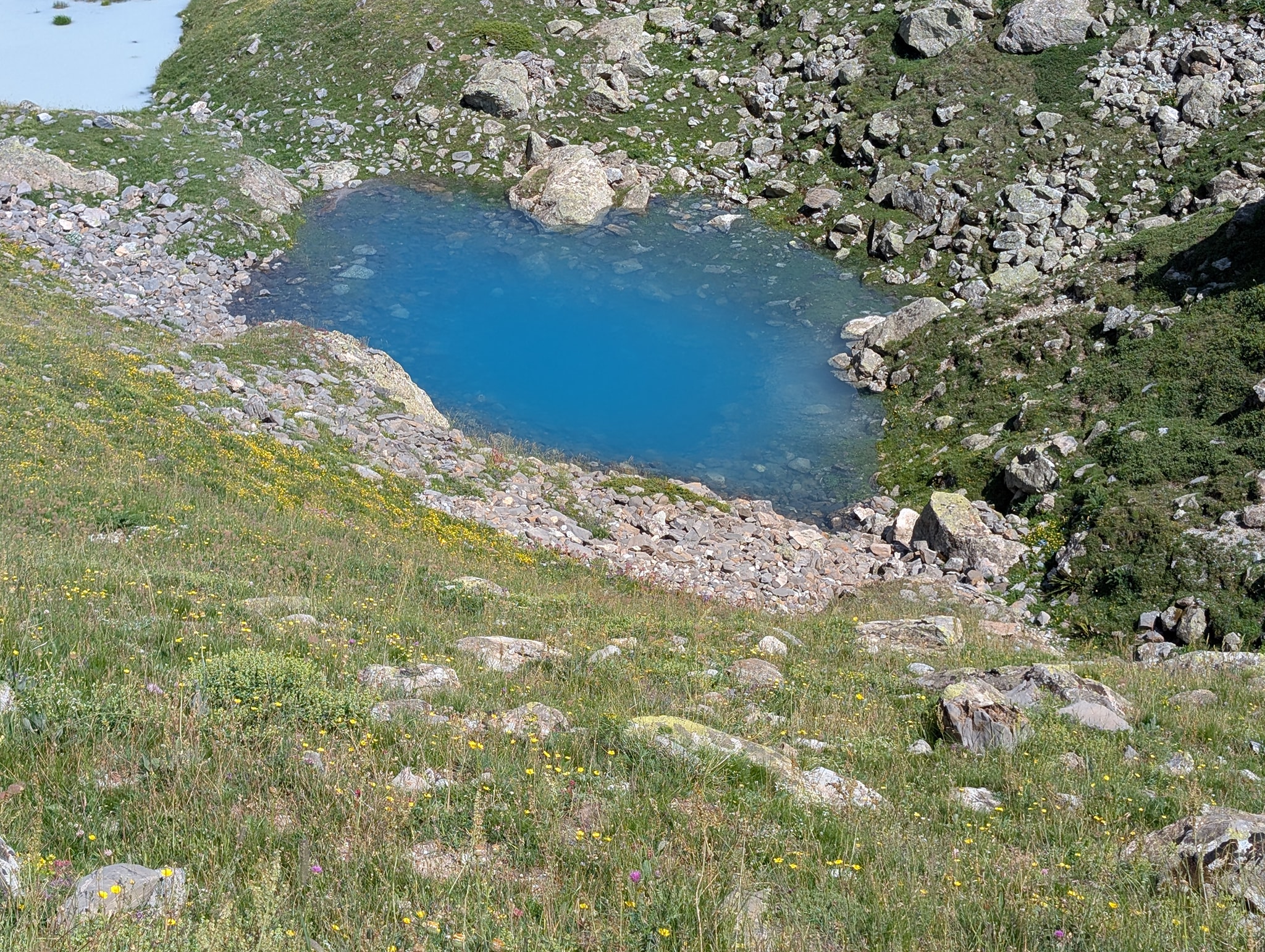
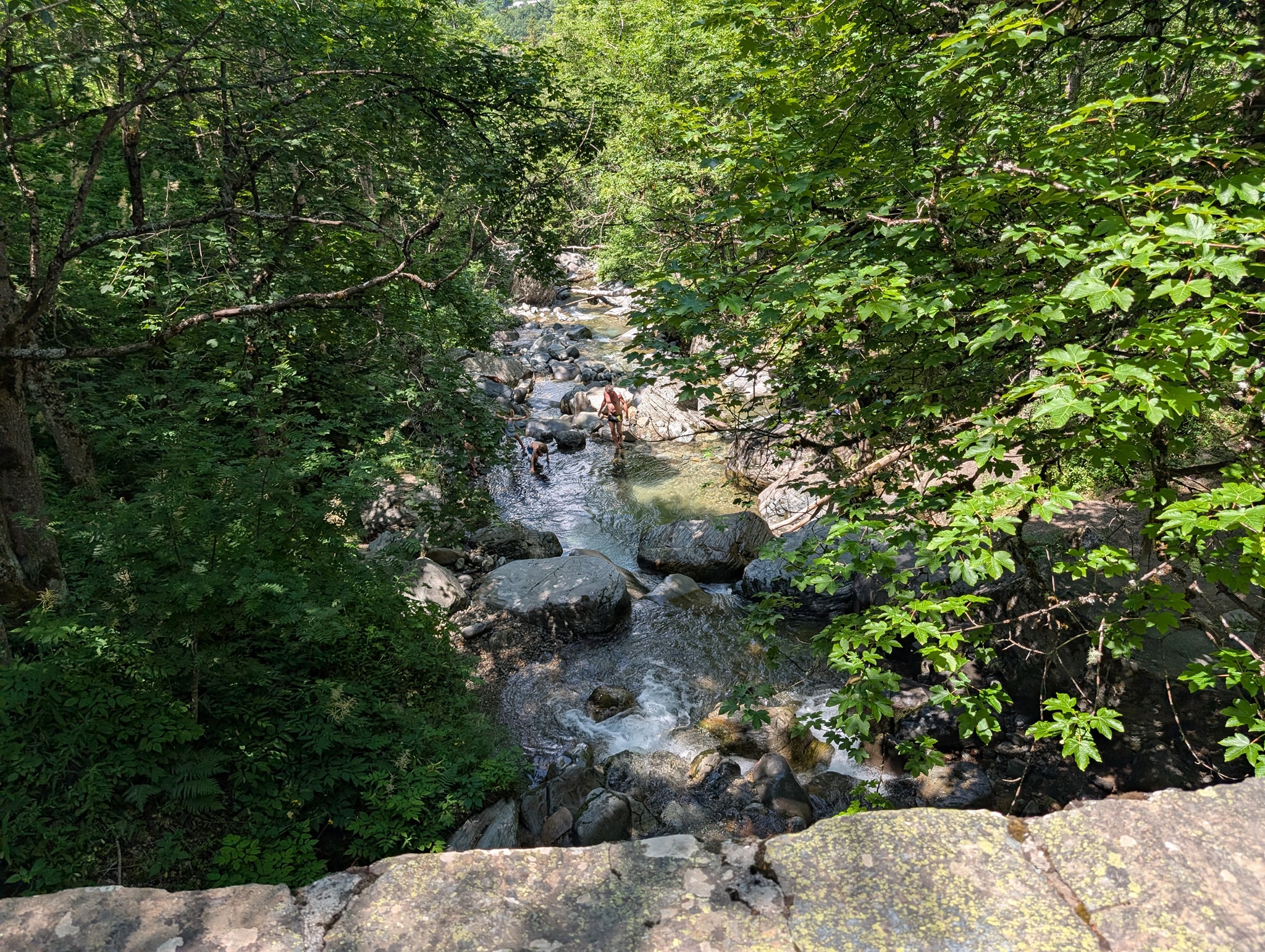
Det tar to og en halv time fra passet før jeg omsider kommer ned til Lac Lauvitel. Vannet er et populært turmål, og her er det mye folk som bader og soler seg. Det er vakkert her med det turkise vannet klemt mellom de bratte fjellene. Der stien kommer ned til vannet, er det også en flott sandstrand. Jeg skulle gjerne ha hoppet ut i det kjølige vannet jeg også, men nøyer meg med å vasse til knærne. Det blir en kort pause før jeg må videre.
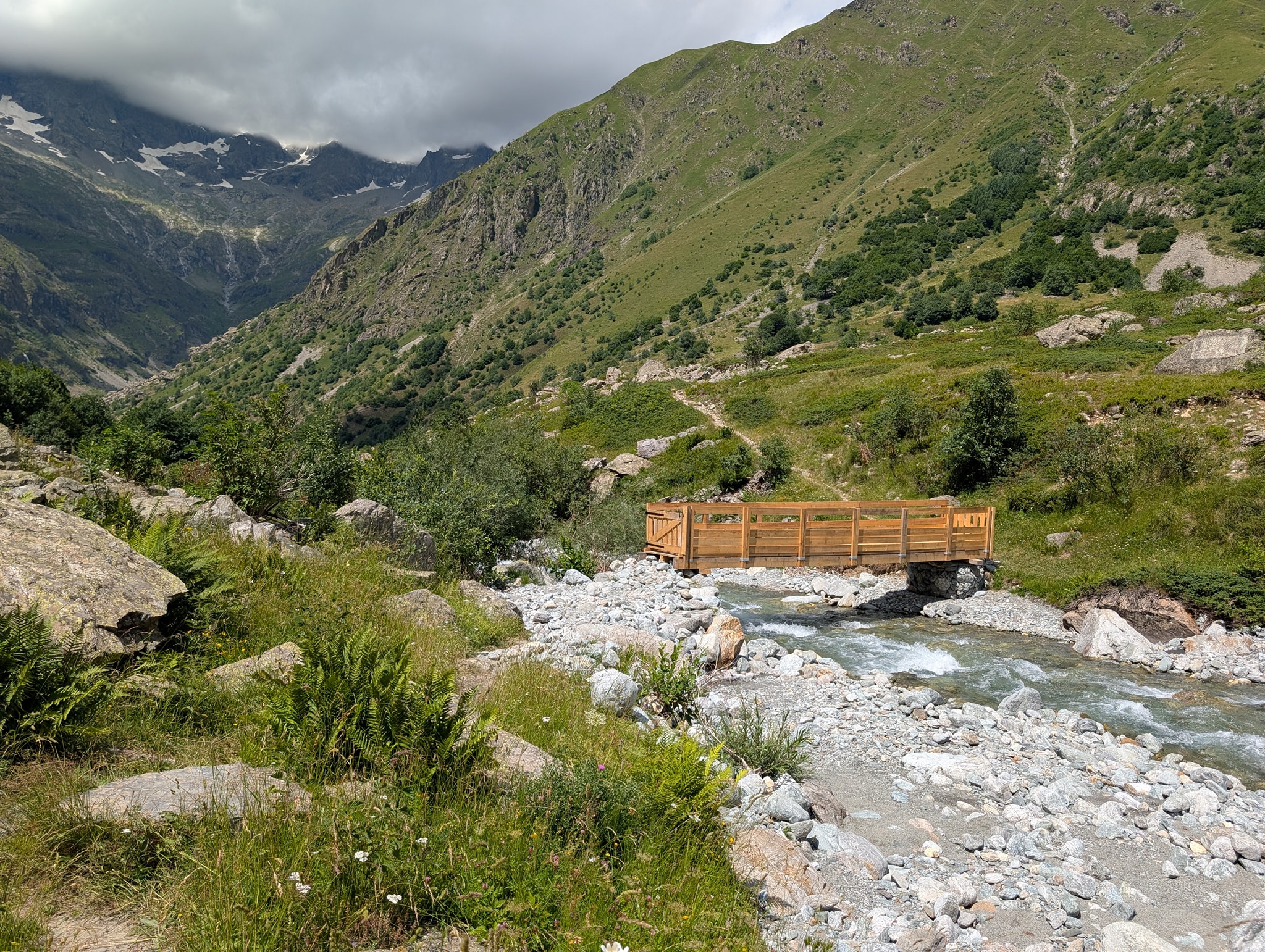
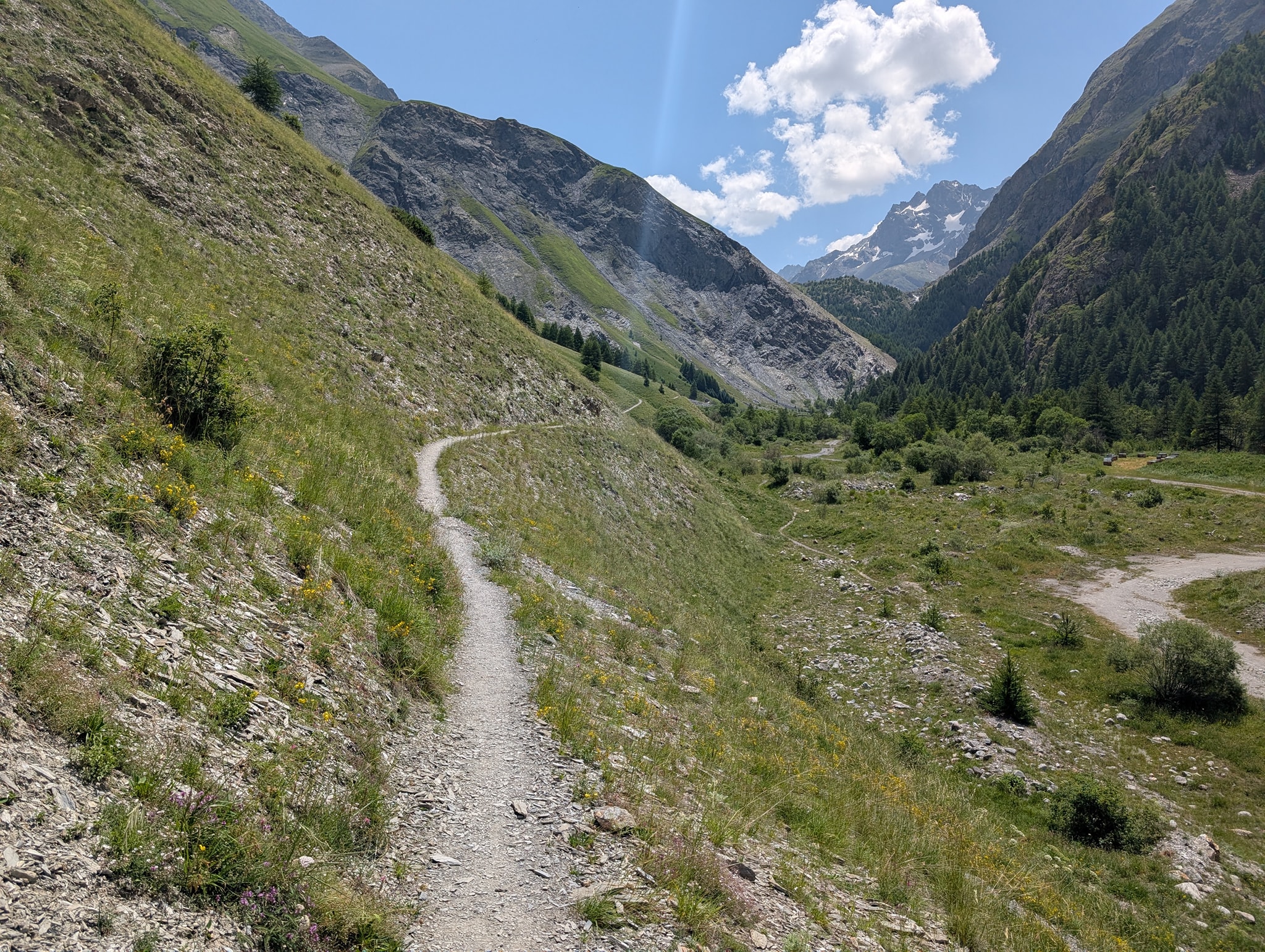
Stien fortsetter nå ned gjennom tett skog og i slike sikksakksvinger som jeg er blitt så vant til. Det beste med denne delen er at man er skjermet mot solen, og at luften er kjøligere her. Jeg møter mye folk på denne delen; de fleste er på dagstur til vannet, men det er også noen GR54-vandrere som går motsatt vei av meg. De kan være glade for at de ikke vet hva som gjenstår.
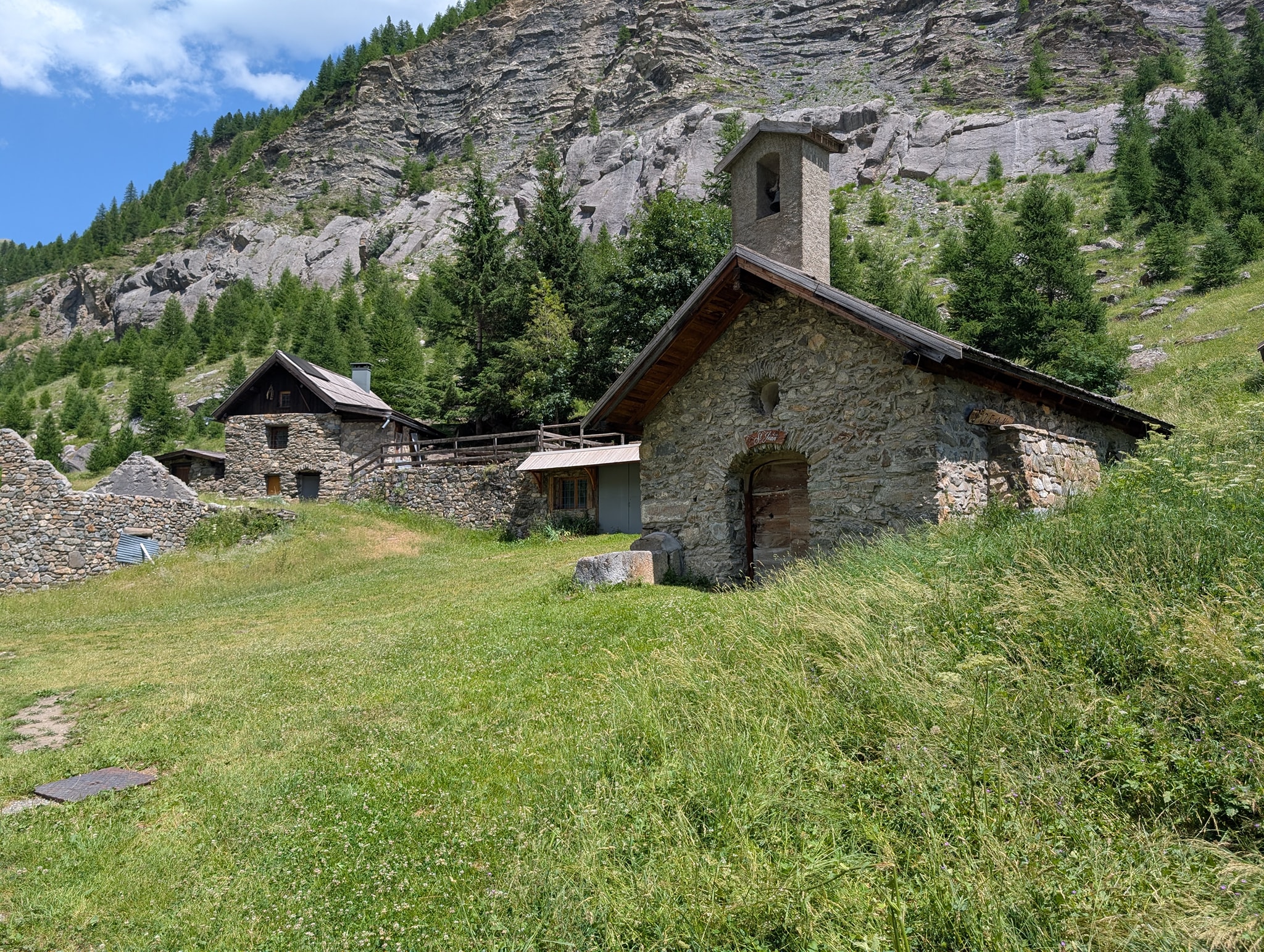
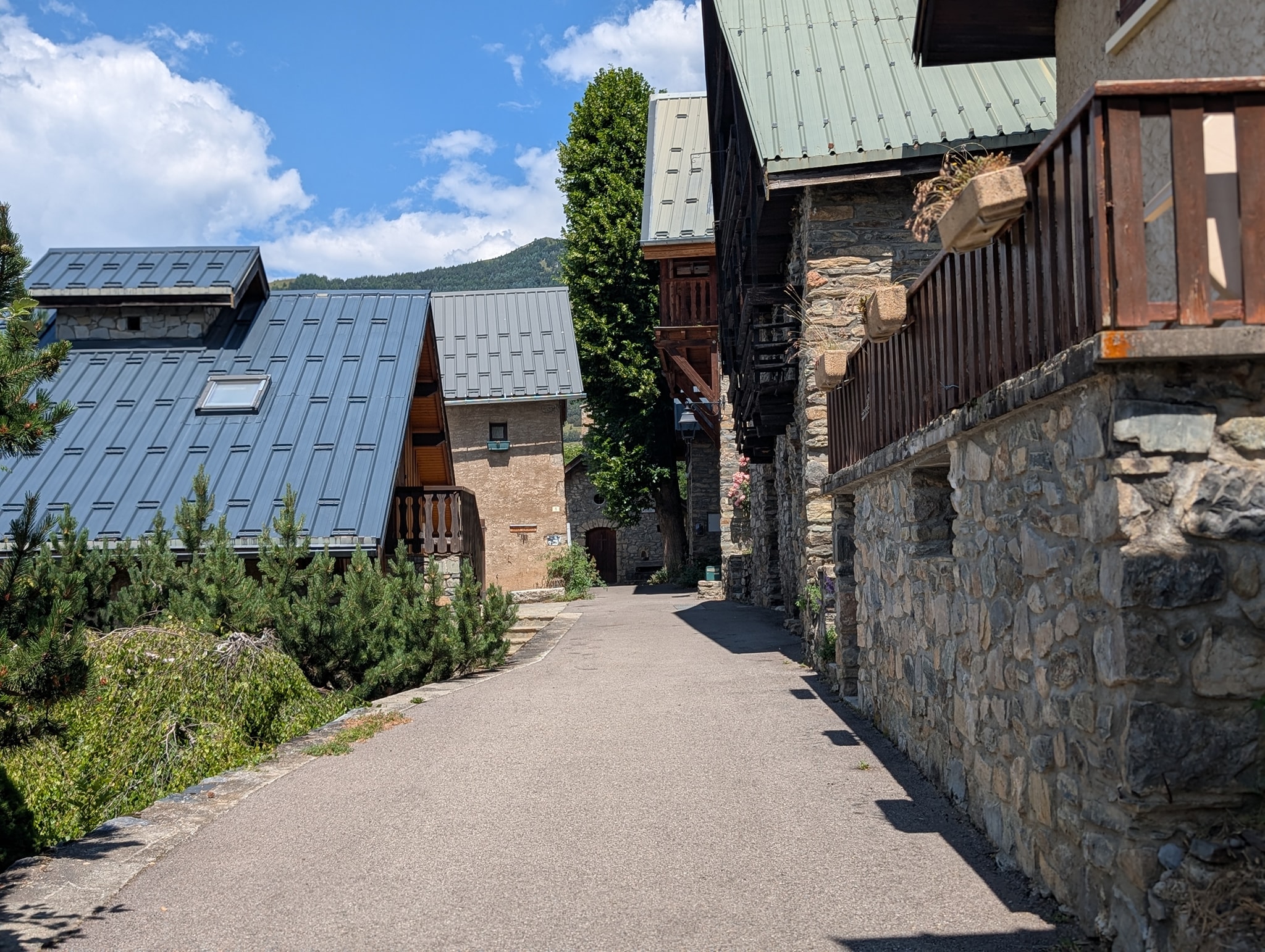
Etter ytterligere 500 meter nedstigning kommer jeg ut av skogen og til grenden La Danchère. Her finner jeg en vannpost hvor jeg tar en pause. Jeg hadde med to bokser brus i sekken da jeg startet i dag. Den ene drakk jeg på passet, og den andre hadde jeg spart til jeg var ferdig med nedstigningen. Den var selvfølgelig god og varm nå, så jeg la den i vannposten mens jeg spiste. Den hadde rukket å bli god og kald da jeg drakk den 15 minutter senere.
Det er nå 200 meter nedstigning igjen til Le Bourg-d'Oisans. Disse er fordelt på de 10 kilometerne som gjenstår av etappen, så de er knapt merkbare. Herfra følger løypen en vei helt frem til målet. På vei ut av grenden møter jeg Thomas, en tysker jeg har truffet flere ganger de siste dagene. Vi slår følge ned dalen og prater selvfølgelig om det vi har opplevd på denne turen. Det slår meg hvor likt vi tenker, vi som går denne turen. Nå hentes ideer og inspirasjon stort sett fra de samme kildene også: boken til Andrew McCluggage, de samme Facebook-gruppene og YouTube-kanalene. Det er kanskje ikke så rart likevel. Vi skiller lag ved vannet Étang du Buclet, hvor Thomas har tenkt å campe i natt. Jeg fortsetter de tre kilometerne som gjenstår frem til Le Bourg-d'Oisans.
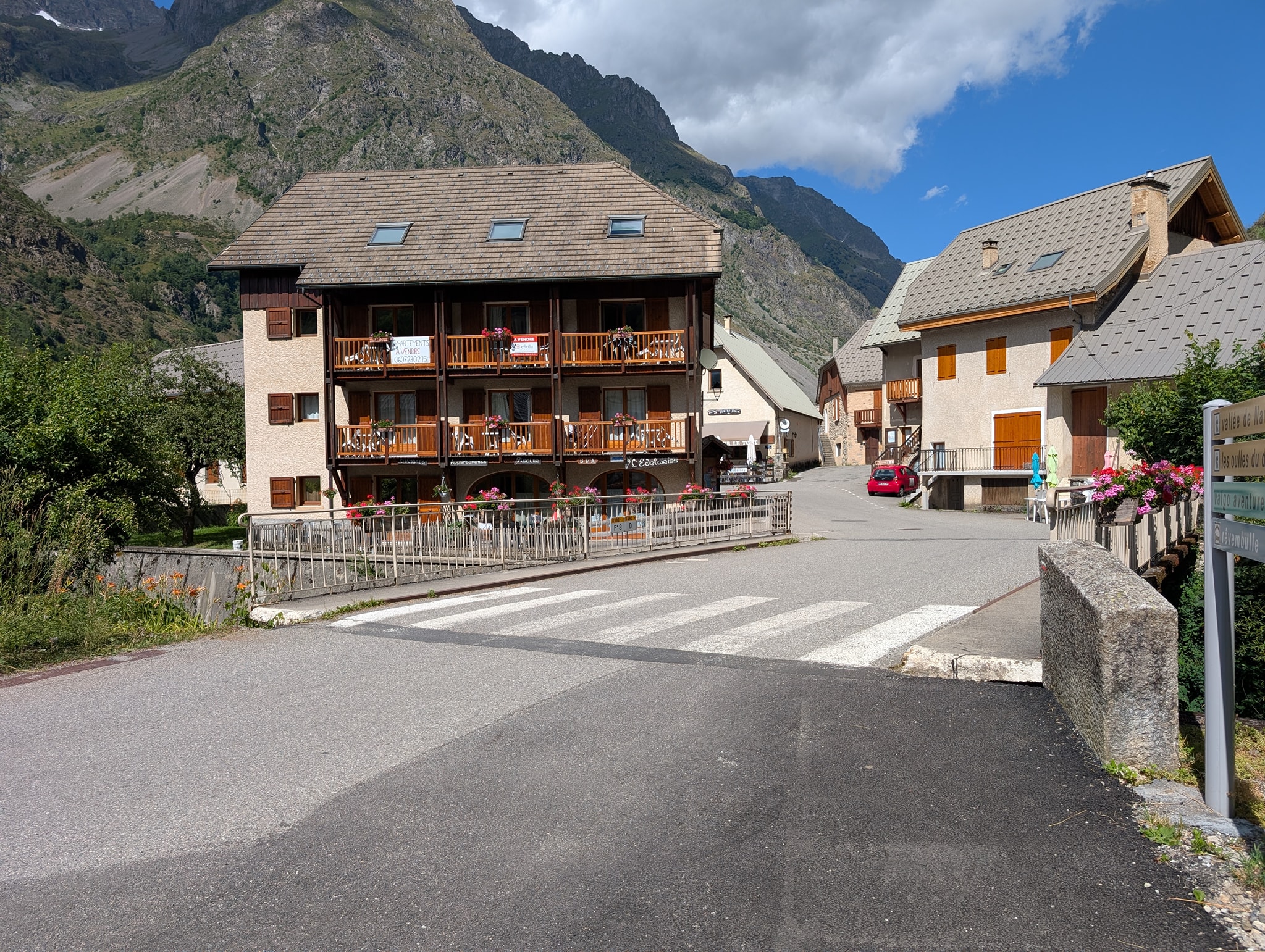
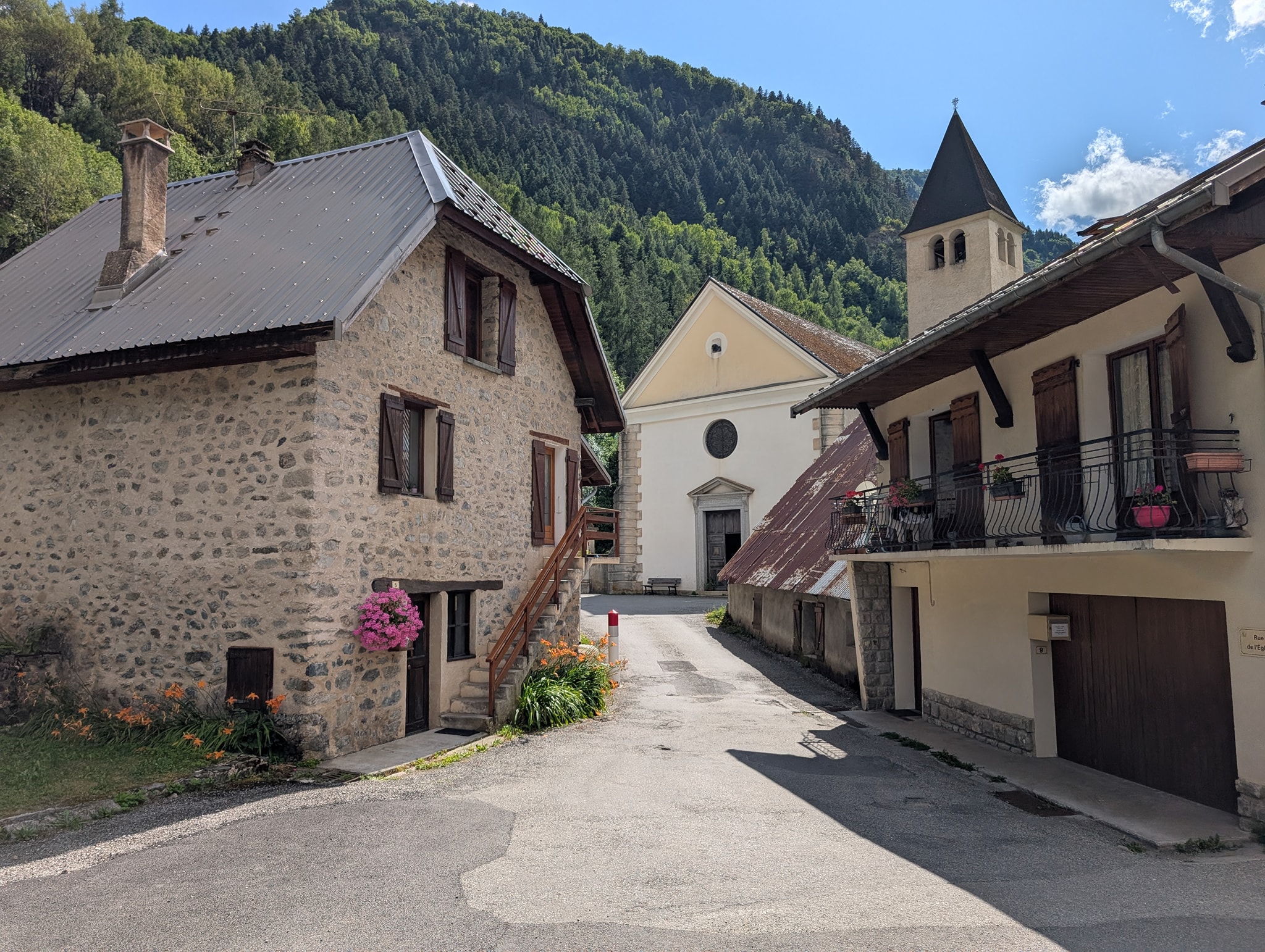
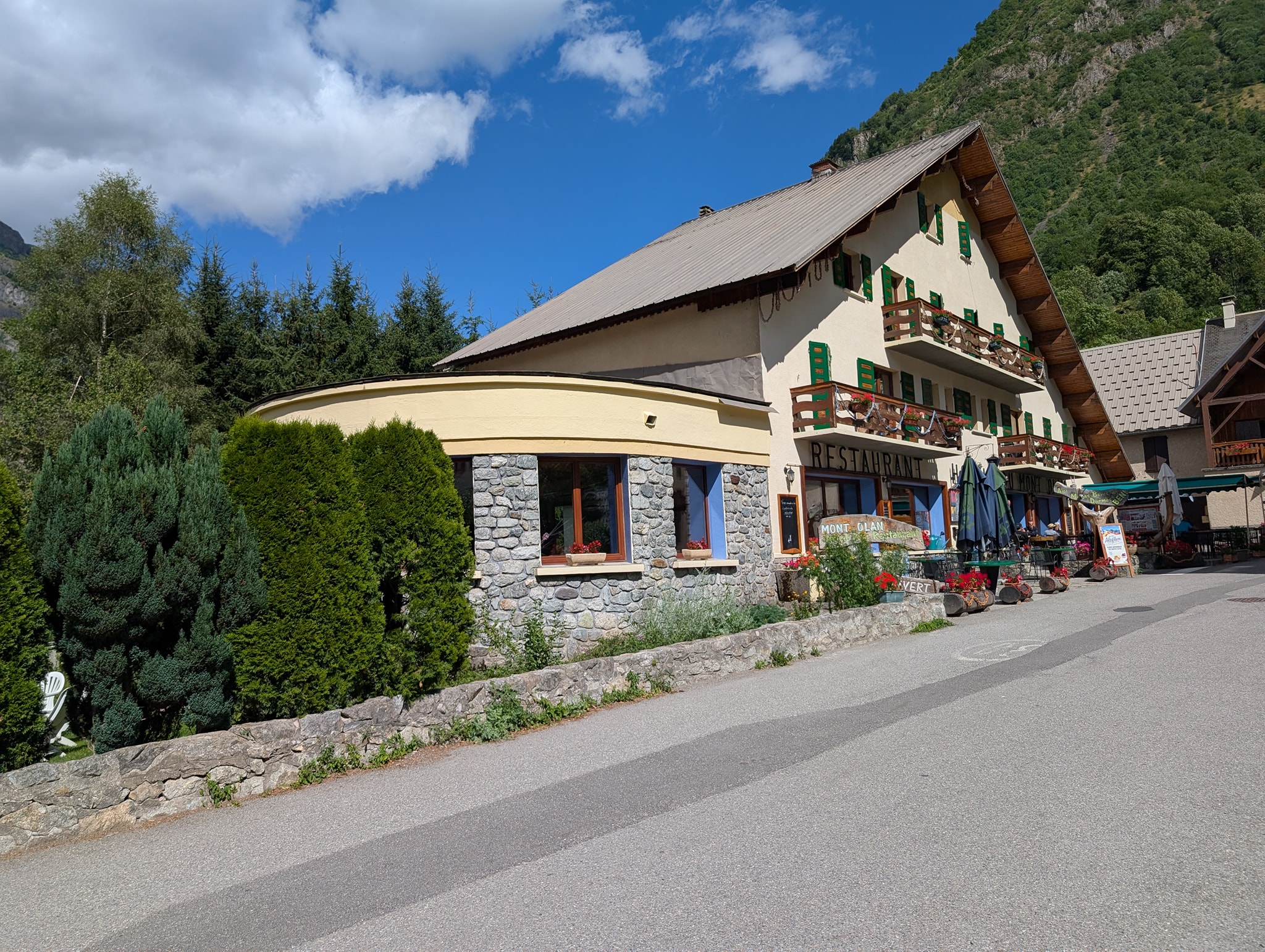
Litt før klokken seks er jeg fremme i Le Bourg-d'Oisans og kan stolt erkjenne at jeg har gjennomført Grand Tour des Écrins – turen rundt fjellmassivet Écrins!
Total distanse: 21,6 km
Maksimal høyde: 2546 moh.
Total stigning: 594 m
Total nedstigning: 1982 m
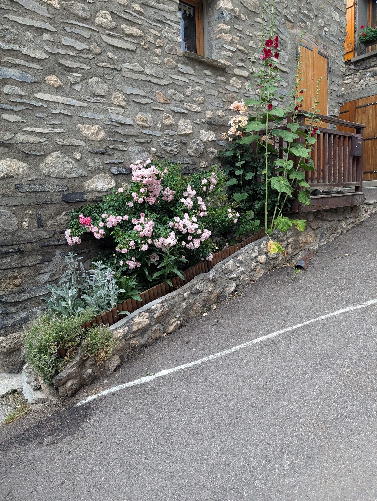
At det ble noen dager før planlagt, får så være. Jeg har en Fullflex-billett med Norwegian fra Genève den 14., men flyene er fulle i dagene før, så jeg får ikke fremskyndet reisen. I stedet for å oppholde meg her i Le Bourg-d'Oisans, hvor det er begrenset med ting å gjøre, velger jeg heller å finne et hotell i Grenoble for å utforske byen i stedet. Det blir også mindre stress å komme seg til flyplassen derfra. Jeg rekker akkurat den siste bussen til Grenoble og bestiller hotell for de neste dagene mens jeg sitter på bussen.
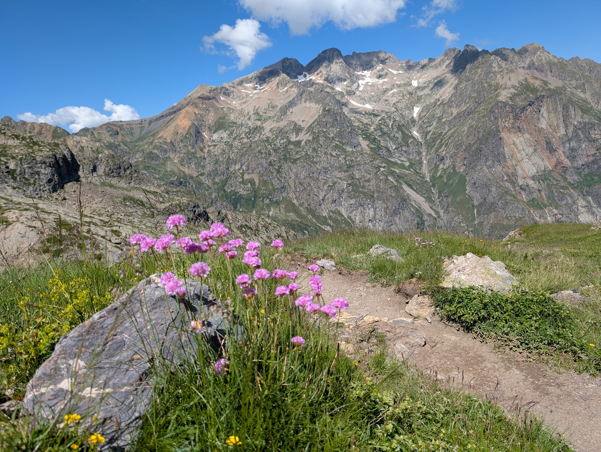
Dette har ikke vært noen lett reise, det kan jeg skrive under på. Starten ble meget tung, og det var en periode der jeg ikke var sikker på om jeg ville klare å gjennomføre turen. Det hjalp å kvitte seg med noen kilo i La Grave. Etappen etter dette var også noe lettere enn de foregående og ga meg troen tilbake. Denne etappen tror jeg også var den flotteste av dem alle. Det var virkelig vakkert ned mot Le Monêtier-les-Bains.
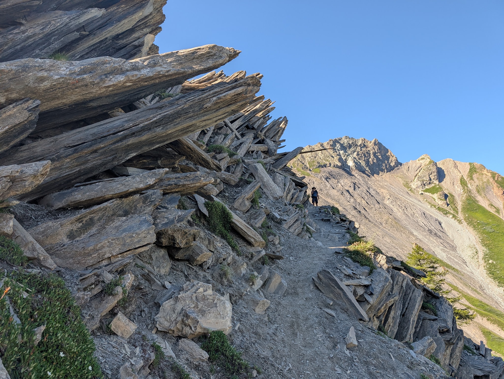
Nesten alle etappene har startet med bratte stigninger opp til et pass, og ofte endt med krevende nedstigninger. Flere av passene har vært teknisk utfordrende – og med snø ville enkelte av dem vært direkte farlige, selv med brodder.
Totalt har jeg gått 216,6 km og klatret 13 155 høydemeter. Hvis jeg skulle tatt turen igjen, ville jeg endret to ting: hatt en vesentlig lettere sekk (under 10 kg) og gått om høsten når det er kjøligere.
Turen er gjennomført og jeg kan vel si med stil. Har stort sett fulgt planen min og kun gjort noen få justeringer underveis der det har vært nødvendig. Igjen sitter jeg med en fantastisk mestringsfølelse og mange uforglemmelige opplevelser.


.")


")


.")


")


.")

.")
.")


")


")

")


. Like oppe i bakken her er en avstikker til den alternative varianten over passet Col des Grangettes")

")


. Det er svart bratt opp her.")


")


")


")
")


, nest høyeste fjellet i Ecrins massivet")


")