Day 10: Lac de la Muzelle to Le Bourg d'Oisans
Today there is no rush to get an early start, so I had set the alarm for seven o'clock. It is cold, and I lie still for a while before getting out of my sleeping bag. The temperature is no more than 5 degrees on the sensor attached to my pack inside the tent. There is a lot of condensation on the inside of the tent, and I see that I forgot to open the air vents before I went to bed.
Outside, the sun has now crept over the mountains and is hitting the mountainside on the opposite side of the valley. The tent fly is wet on the outside too, so the humidity must have been high last night. I want to dry the tent before packing it down for the last time. It will take a while before the sun hits the tent, so I eat breakfast and pack my gear while I wait. It is ten o'clock before I am ready to leave. There are only a few tents left on the plain now.
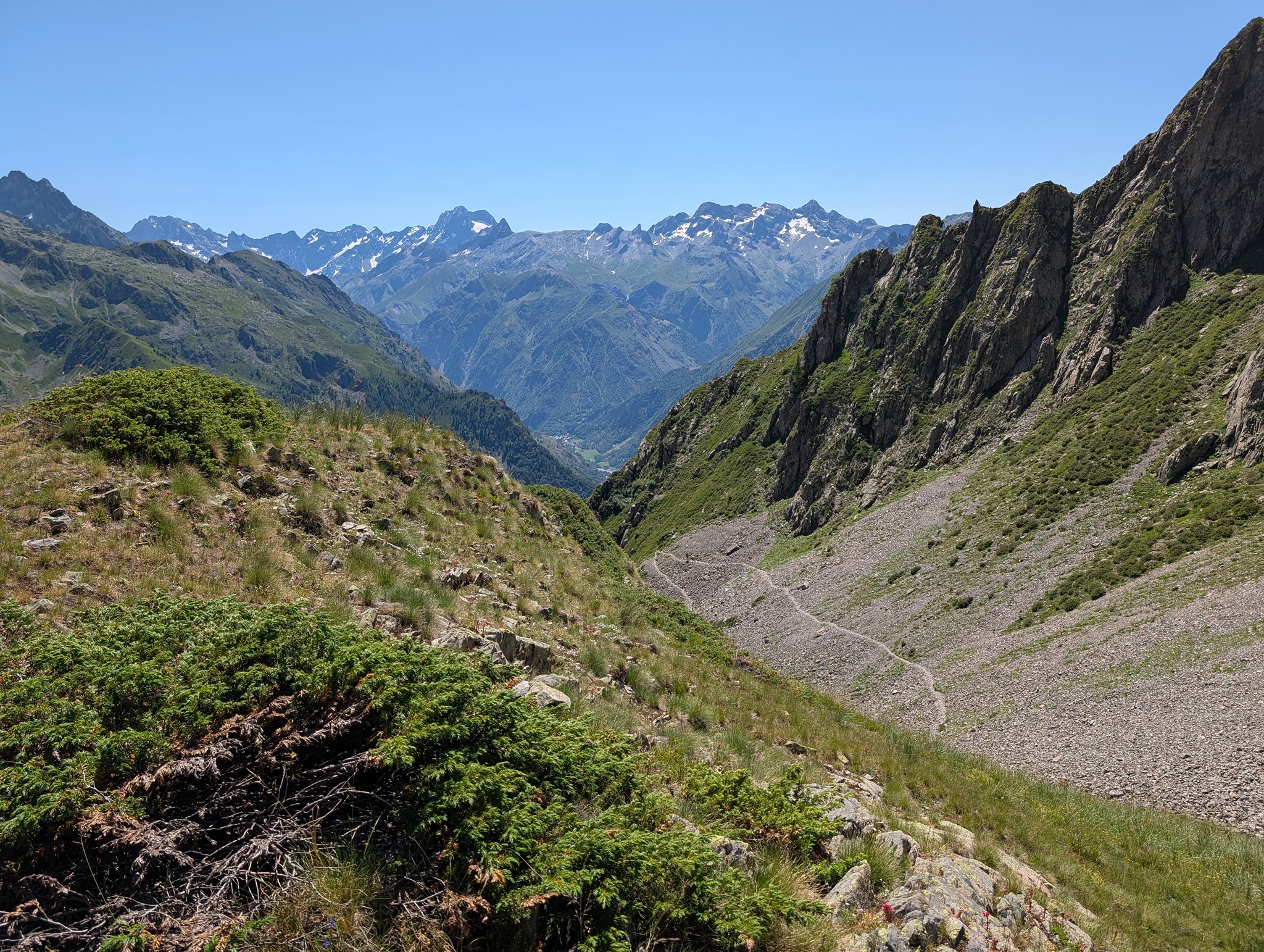
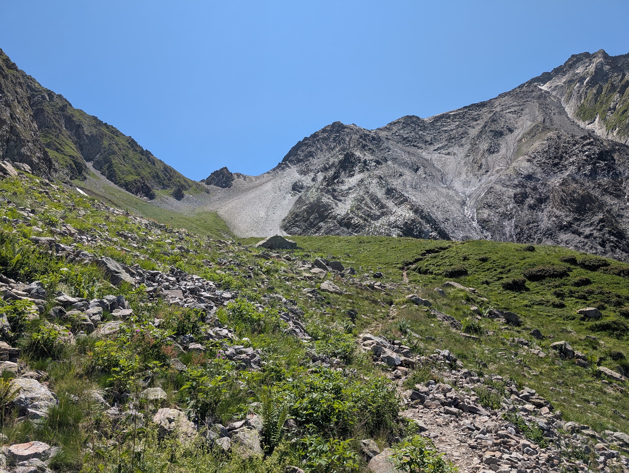
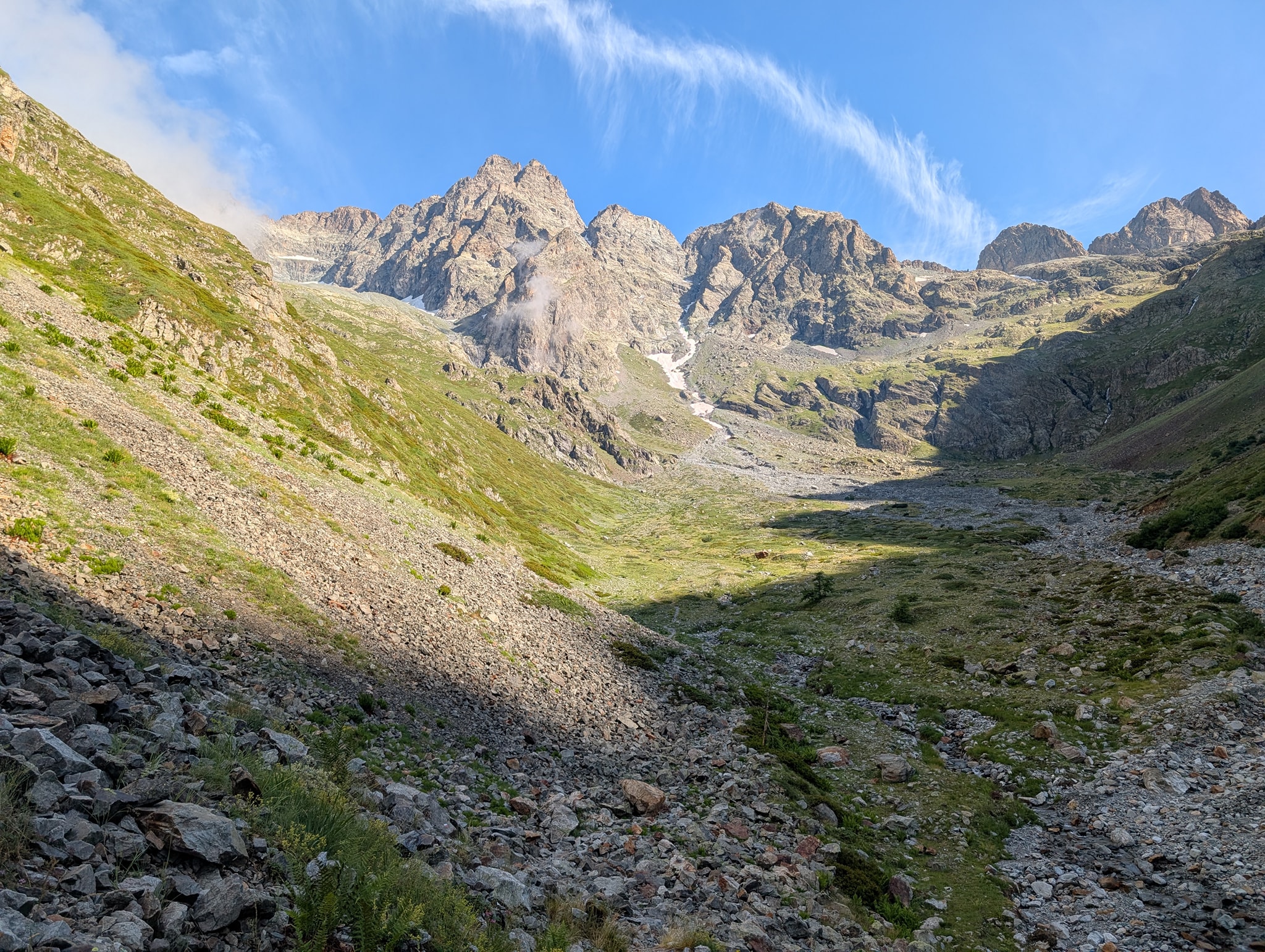
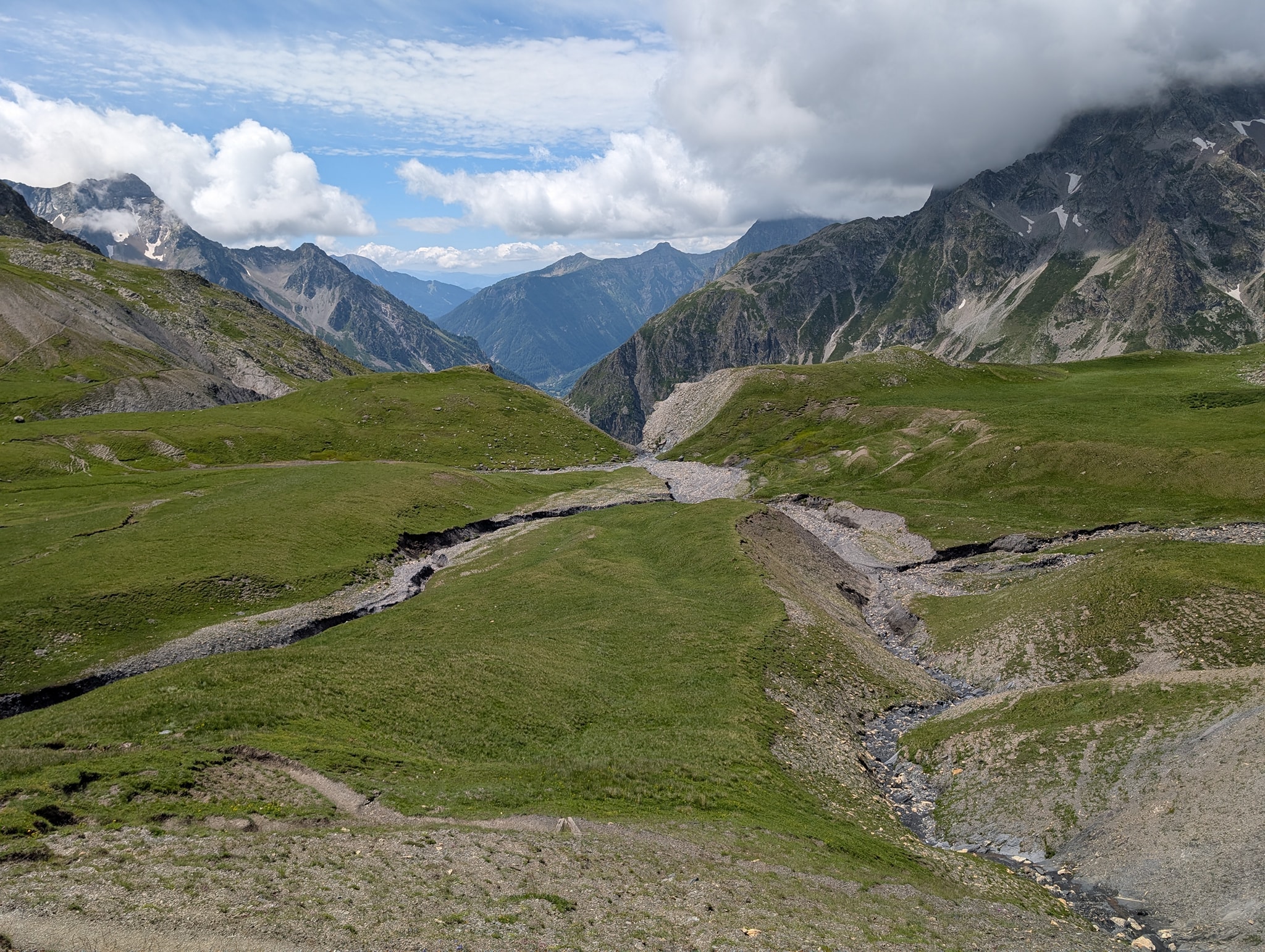
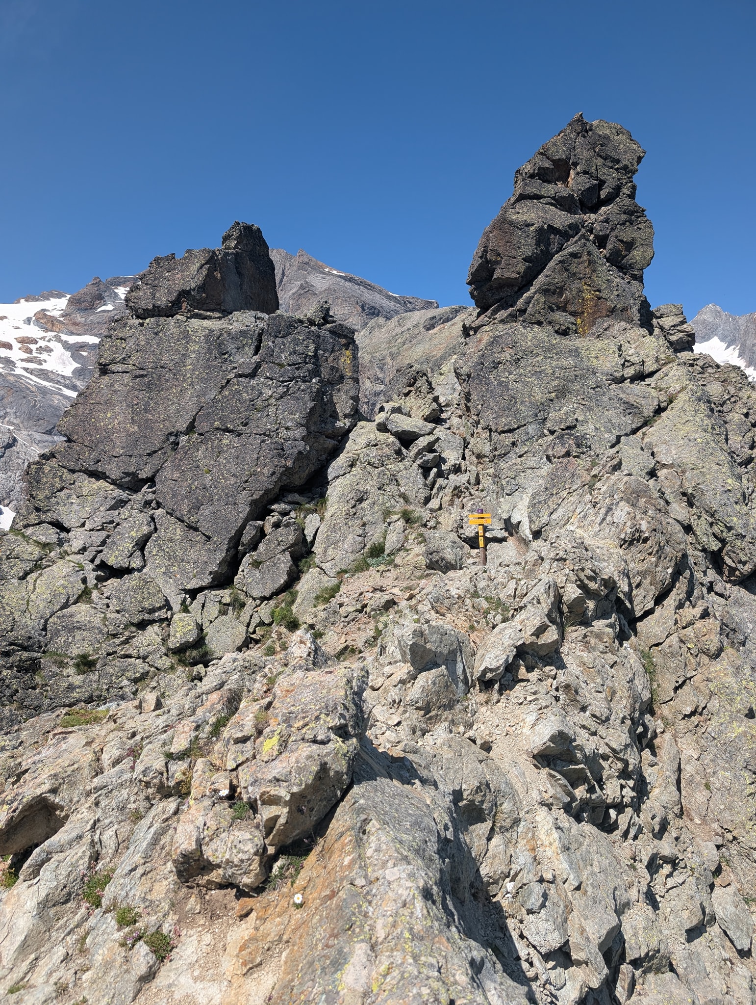
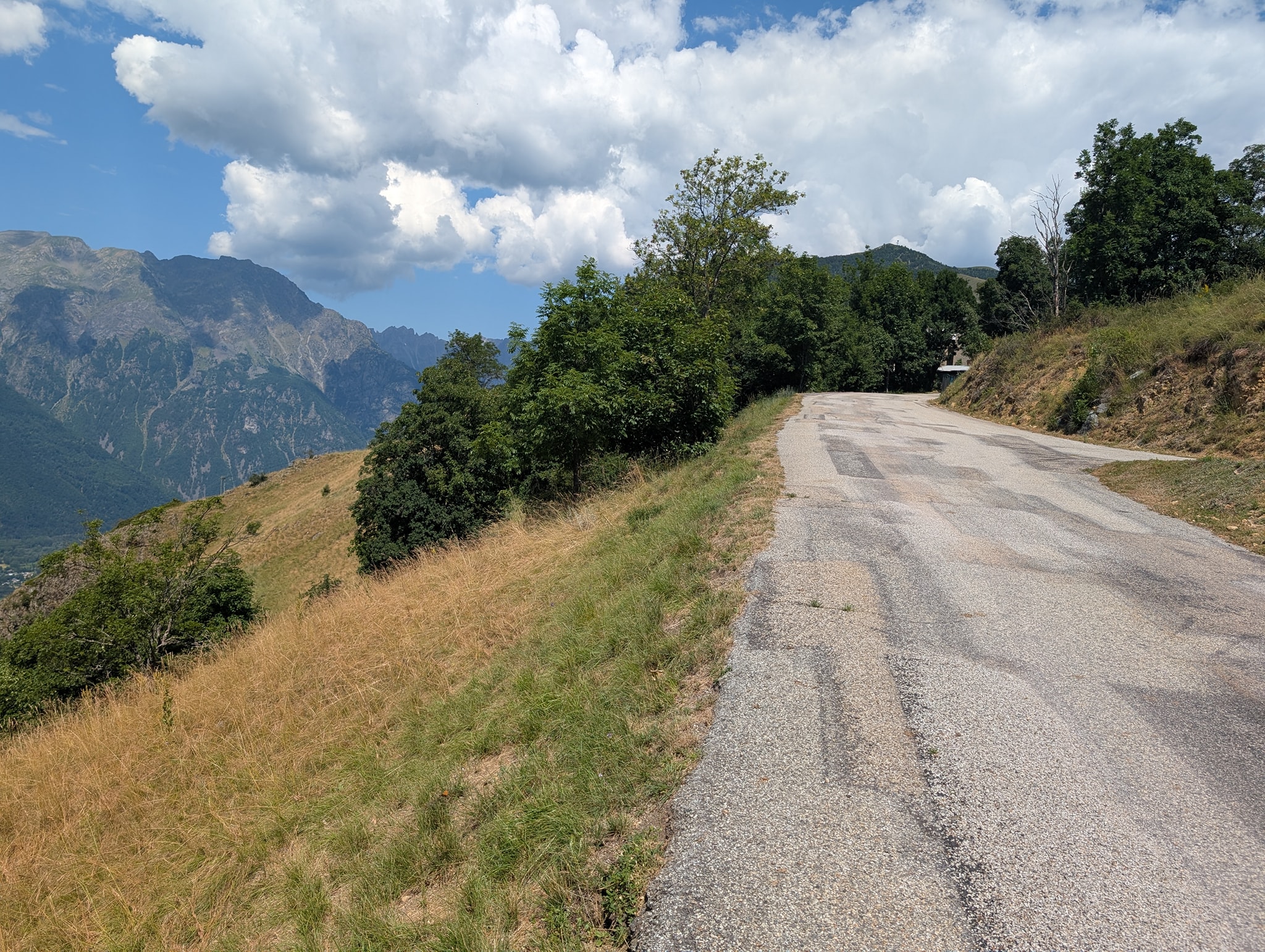
Today's stage also begins with a steep climb. The sun is strong now, and the temperature is 25 degrees. To be fair, it’s only a 400-meter climb today, but it’s still heavy going in this heat. The trail zigzags up the steep mountainside; initially, it’s a gentle slope, but towards the end, it becomes very steep. My legs are still affected by yesterday's stage, and it gets very heavy toward the end of the climb. After a little over an hour, I reach the top of the pass, Col du Vallon (2,546 m above sea level).
I take a short break here before continuing down the other side of the pass. Today's goal, Le Bourg-d'Oisans, is at an altitude of 720 meters. That means I have about 1,800 meters of descent ahead of me. First, I’m heading down to the lake Lac Lauvitel, which sits at 1,500 meters.
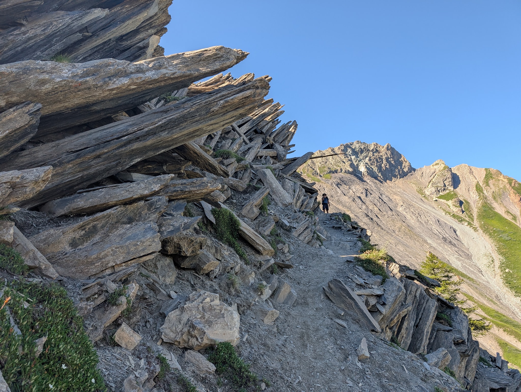
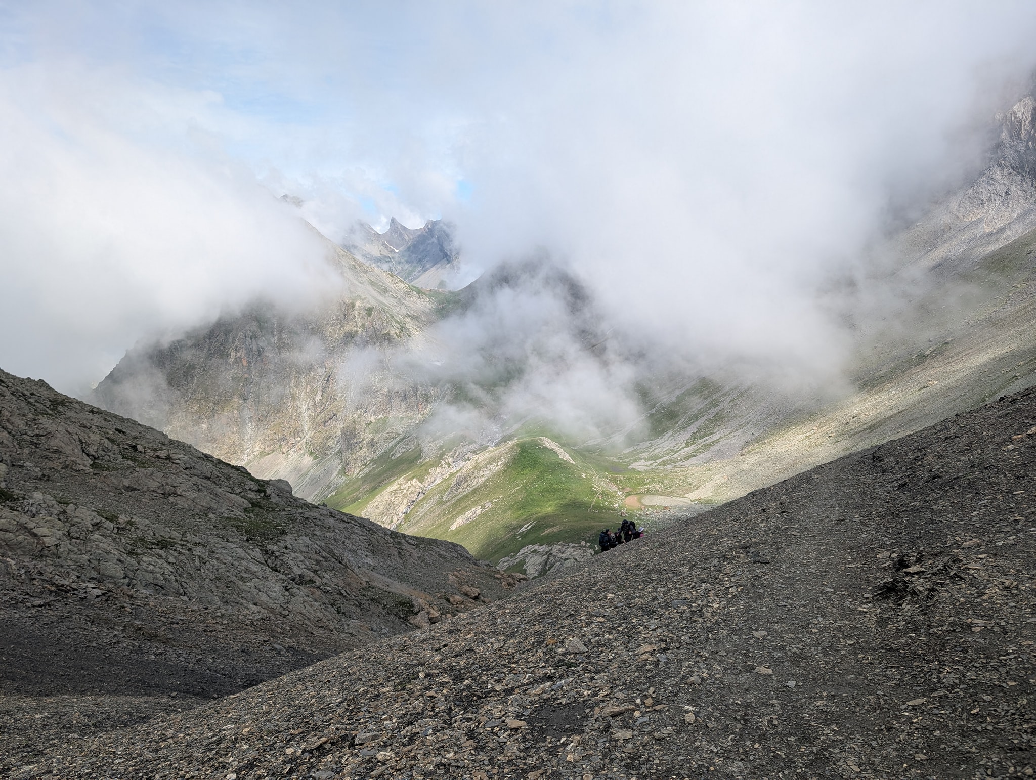
The first part of this descent follows a path that is easy to walk on. Gradually it becomes rockier, steeper, and in some places very exposed. Safety cables have been installed in the most exposed sections. For the first time on this trip, I lose my balance and fall on the rocky path, knees first. I barely manage to catch myself with my hands so that the rest of my body doesn't hit the ground as well. I end up with some nasty scrapes on my shins, and my left knee, which took the hardest hit, is aching.
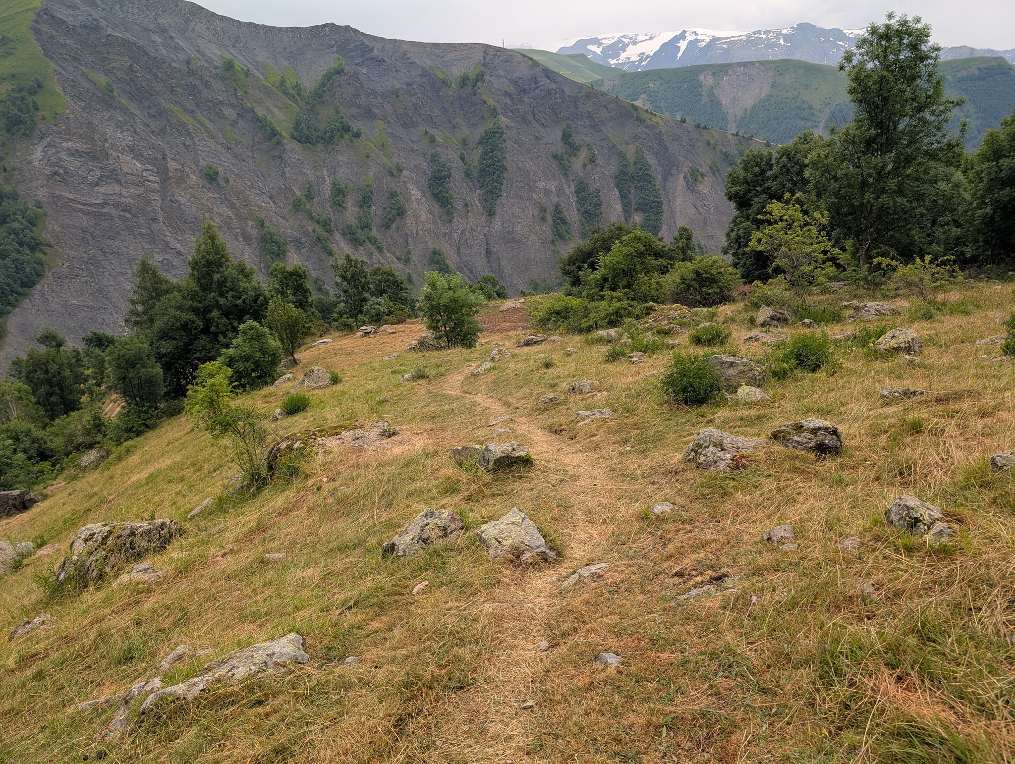
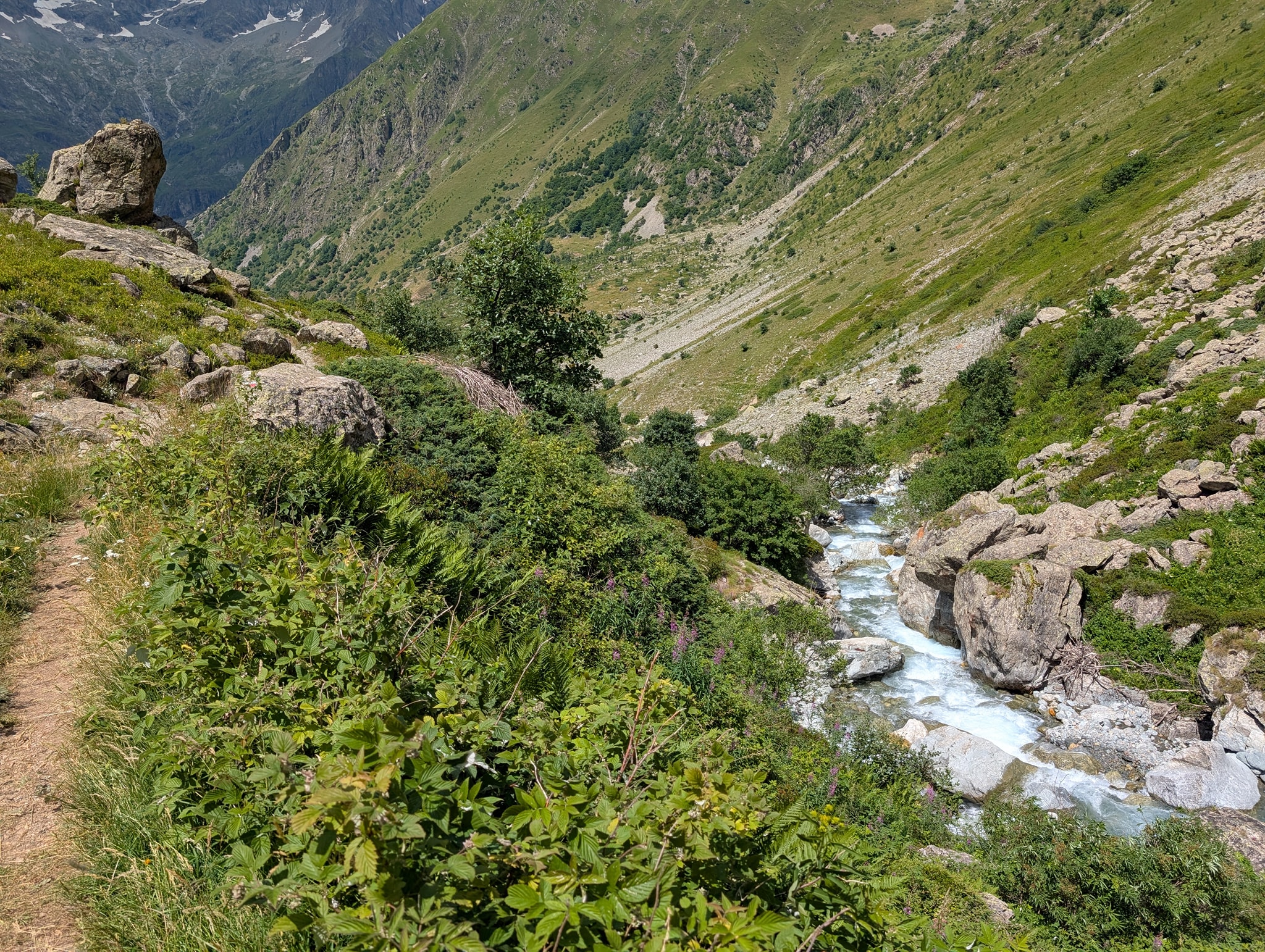
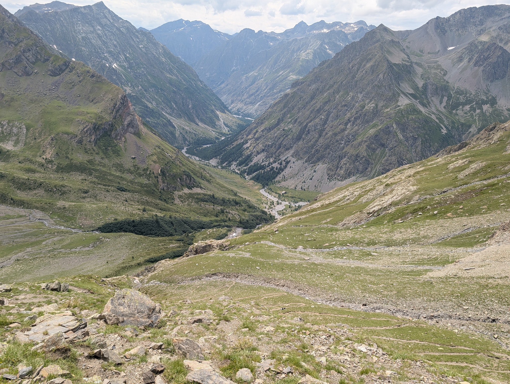
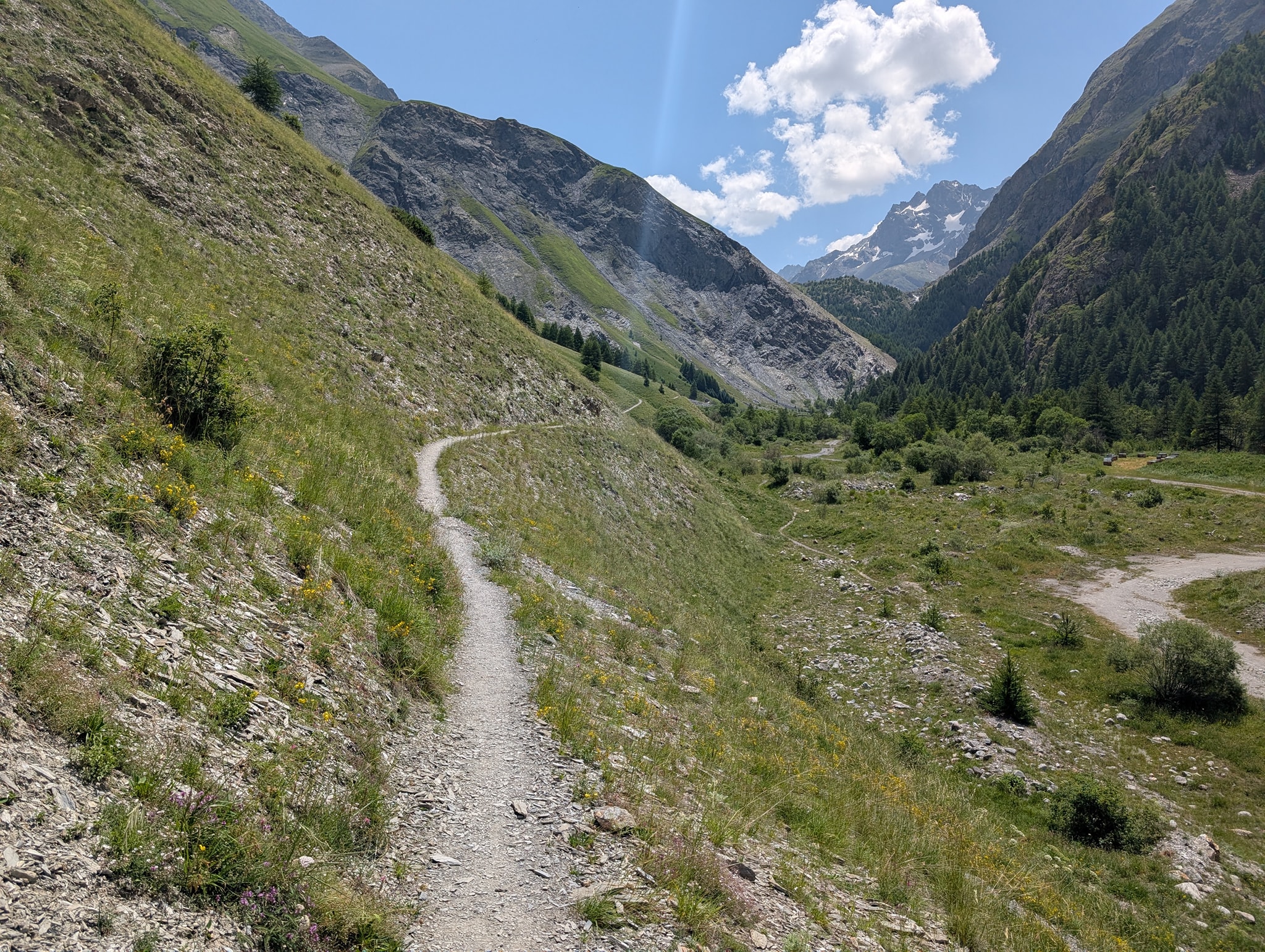
As I continue the hike, I still feel pain in this knee, so I try to use my poles to offset the strain. This causes my pace to drop considerably. Eventually, I can see the lake, which is my next milestone, far below me. Further down the valley, I can also see Le Bourg-d'Oisans. It’s quite a way down there, and I realize this is going to take time.
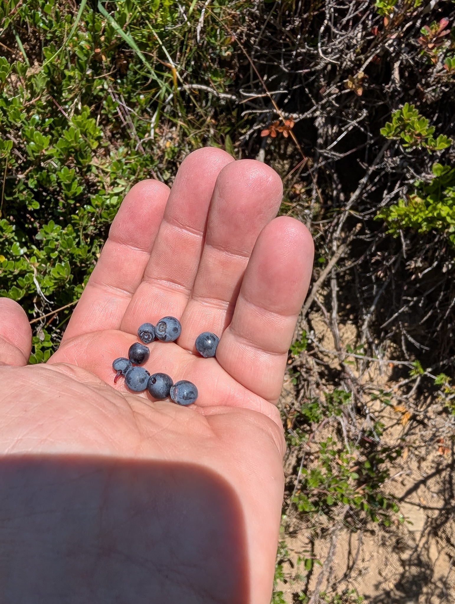
On the way down, I meet people heading up to Lac du Muzelle. Everyone I talk to asks the same thing: how much further it is, and if there are water sources further up. They have had a tough climb in the heat. It gets significantly warmer the further down I go, so I fill my water bottles every chance I get.
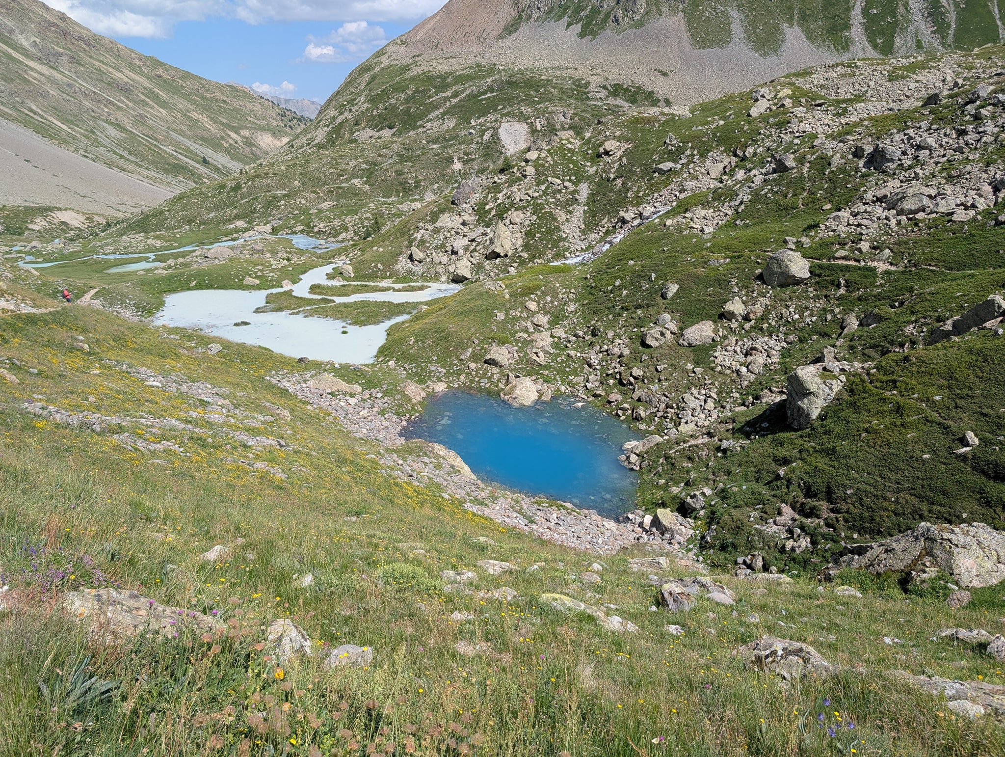
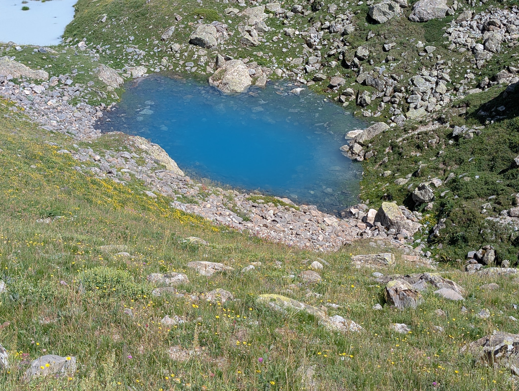
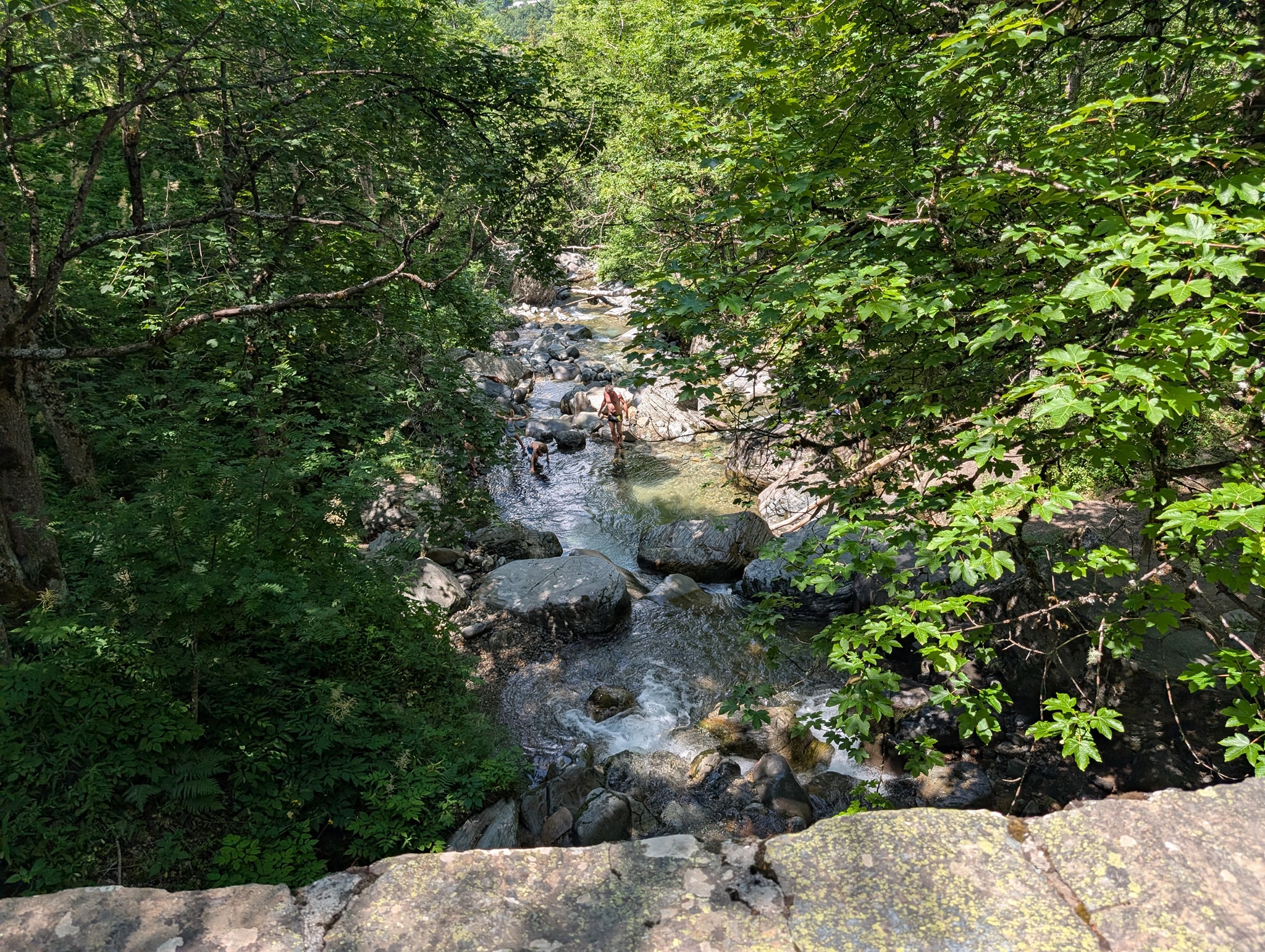
It takes two and a half hours from the pass before I finally arrive at Lac Lauvitel. The lake is a popular destination, and there are many people here swimming and sunbathing. It is beautiful here with the turquoise water squeezed between the steep mountains. Where the trail reaches the water, there is also a great sandy beach. I would have loved to jump into the cool water myself, but I settle for wading in up to my knees. There is a short break before I must move on.
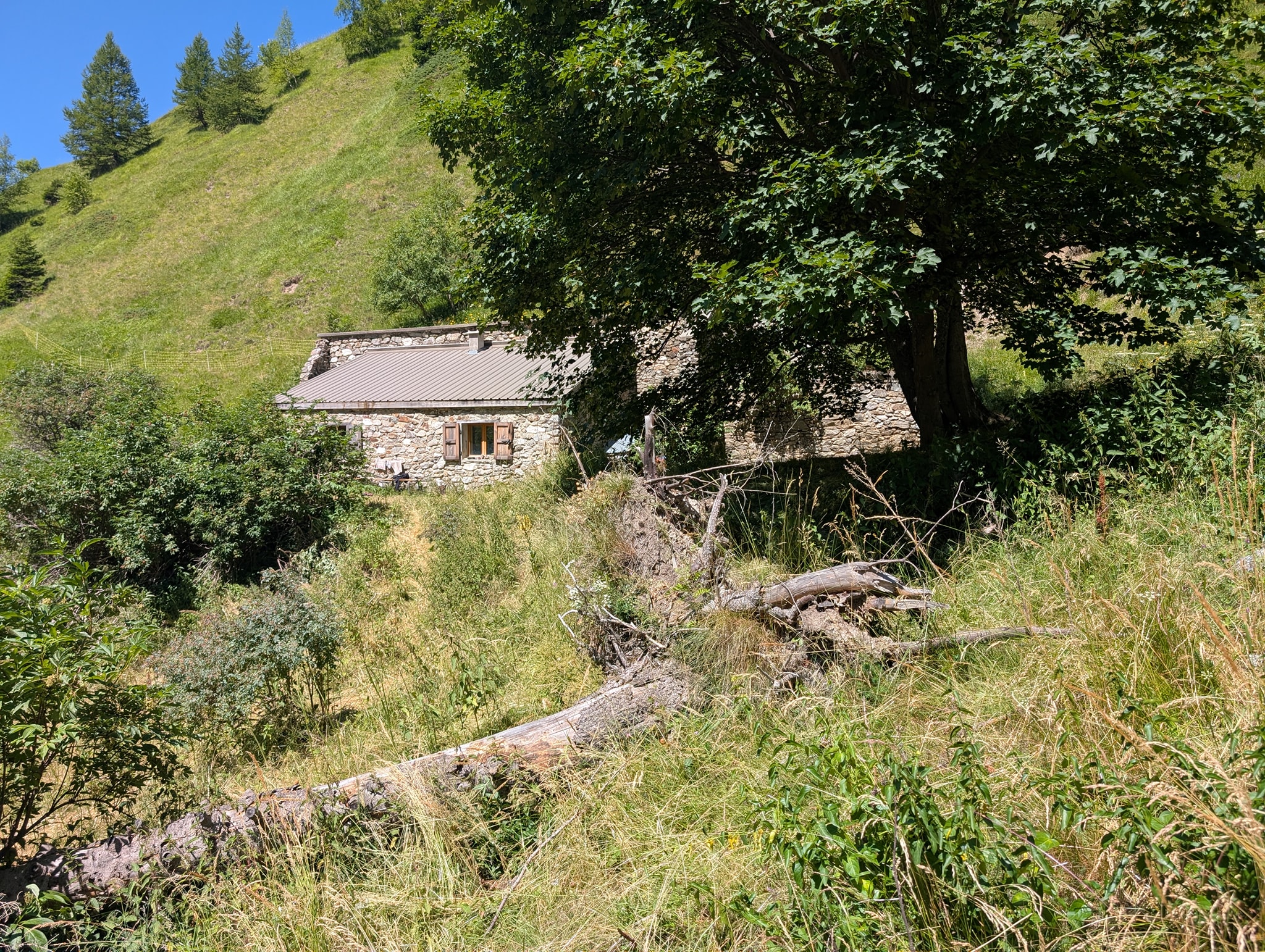
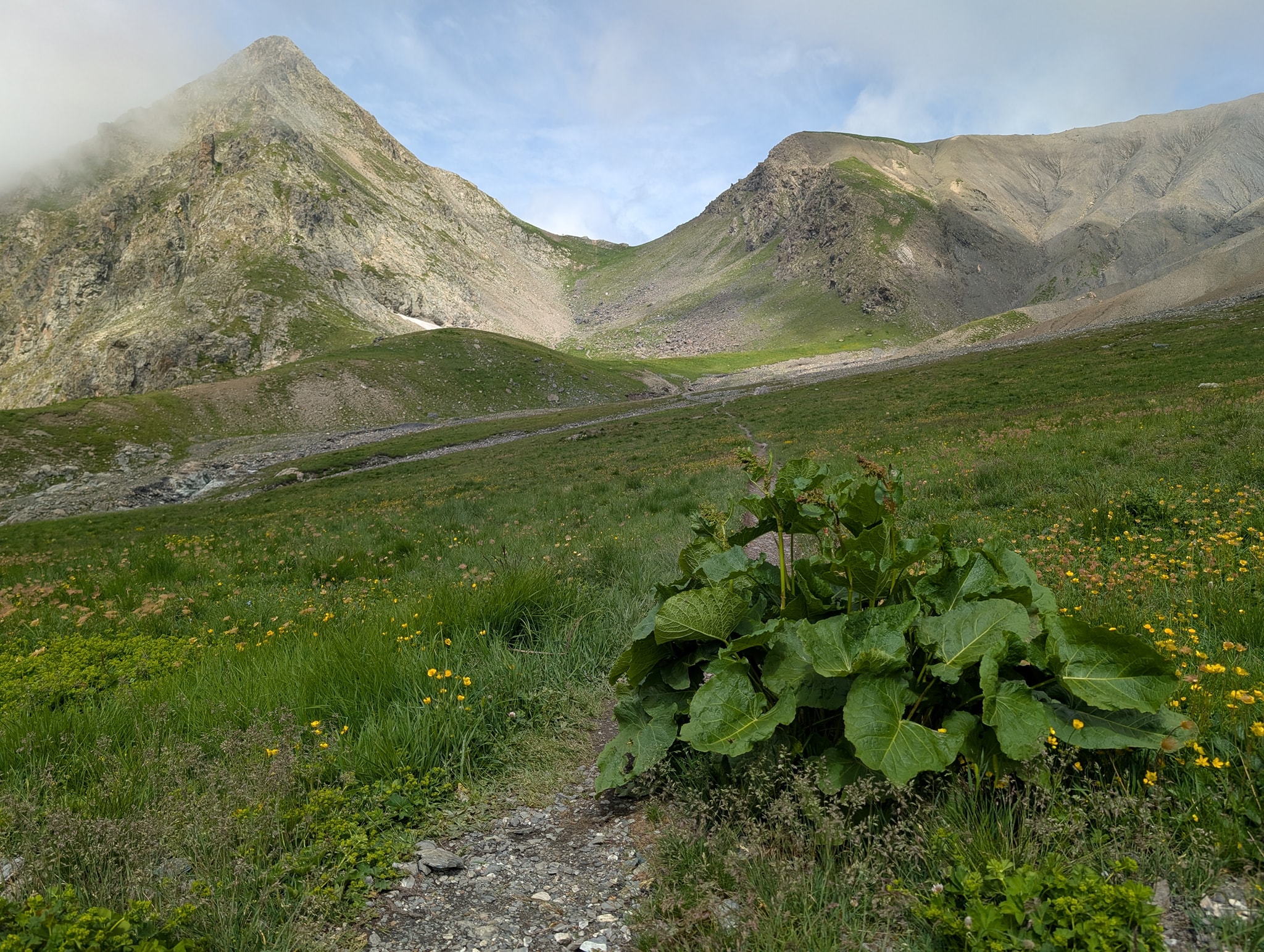
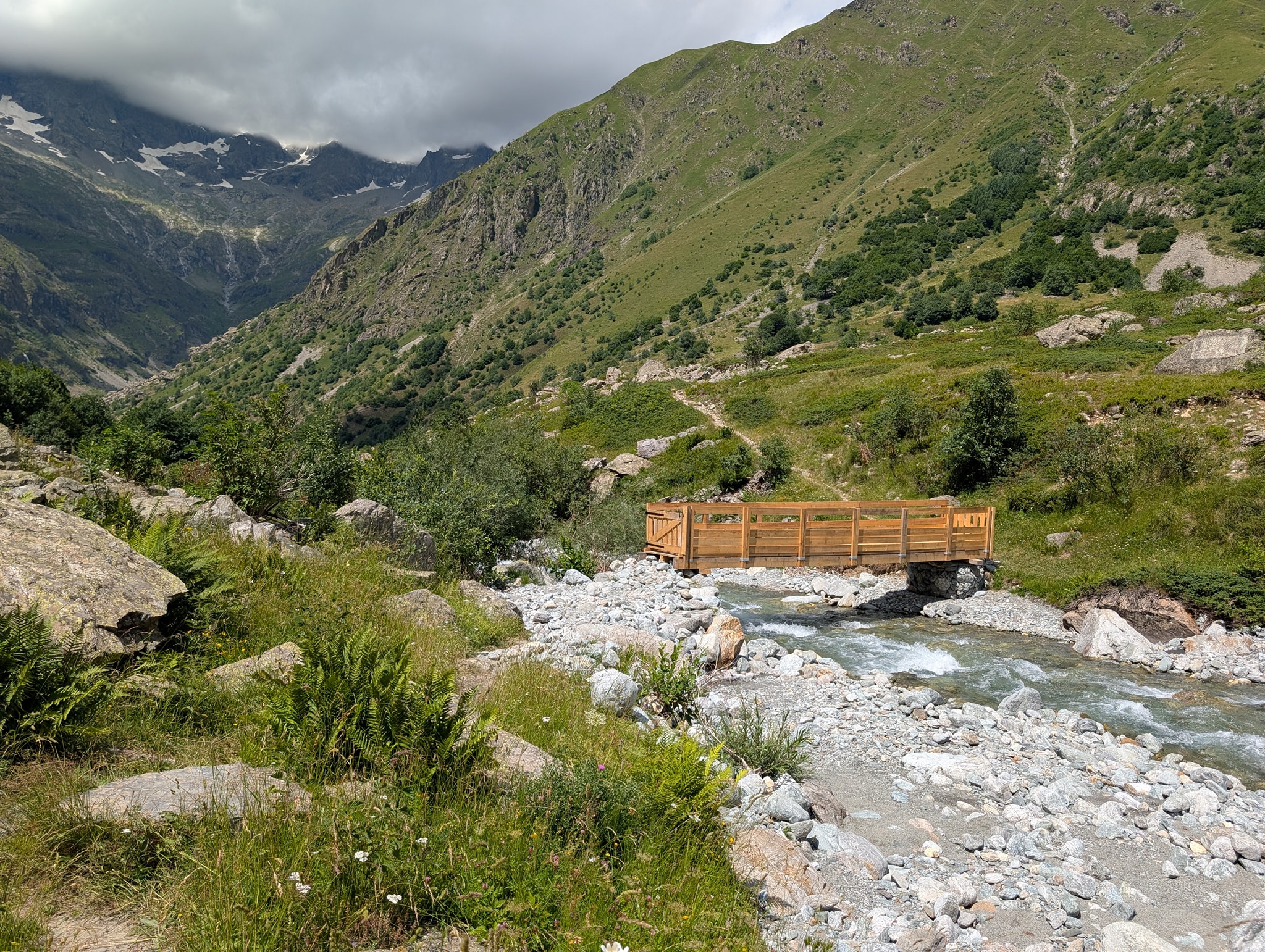
The trail now continues down through dense forest and in the kind of switchbacks I have become so accustomed to. The best thing about this part is being shielded from the sun, and the air is cooler here. I meet a lot of people on this section; most are on day trips to the lake, but there are also some GR54 hikers going in the opposite direction. They can be glad they don't know what lies ahead of them.
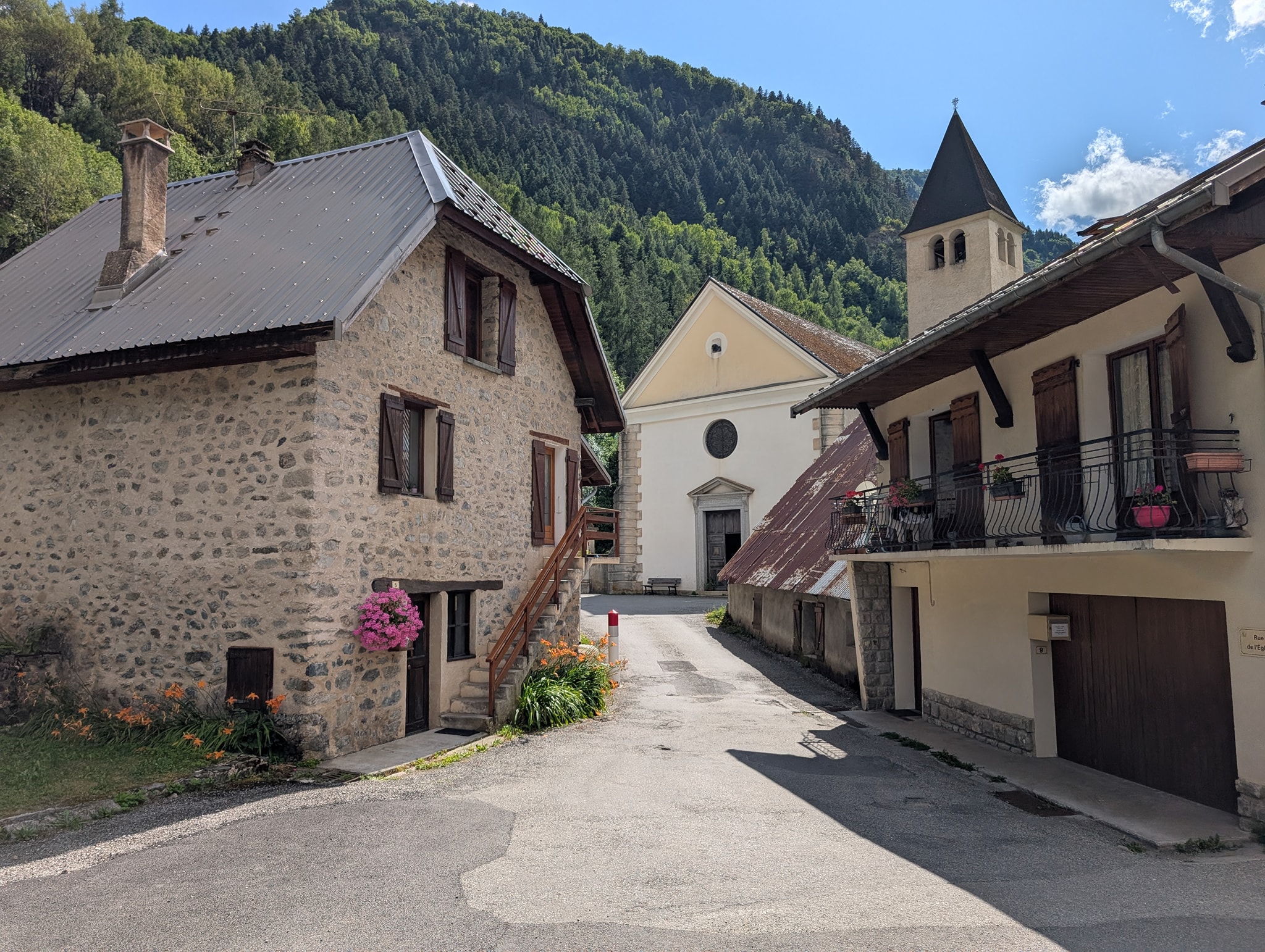
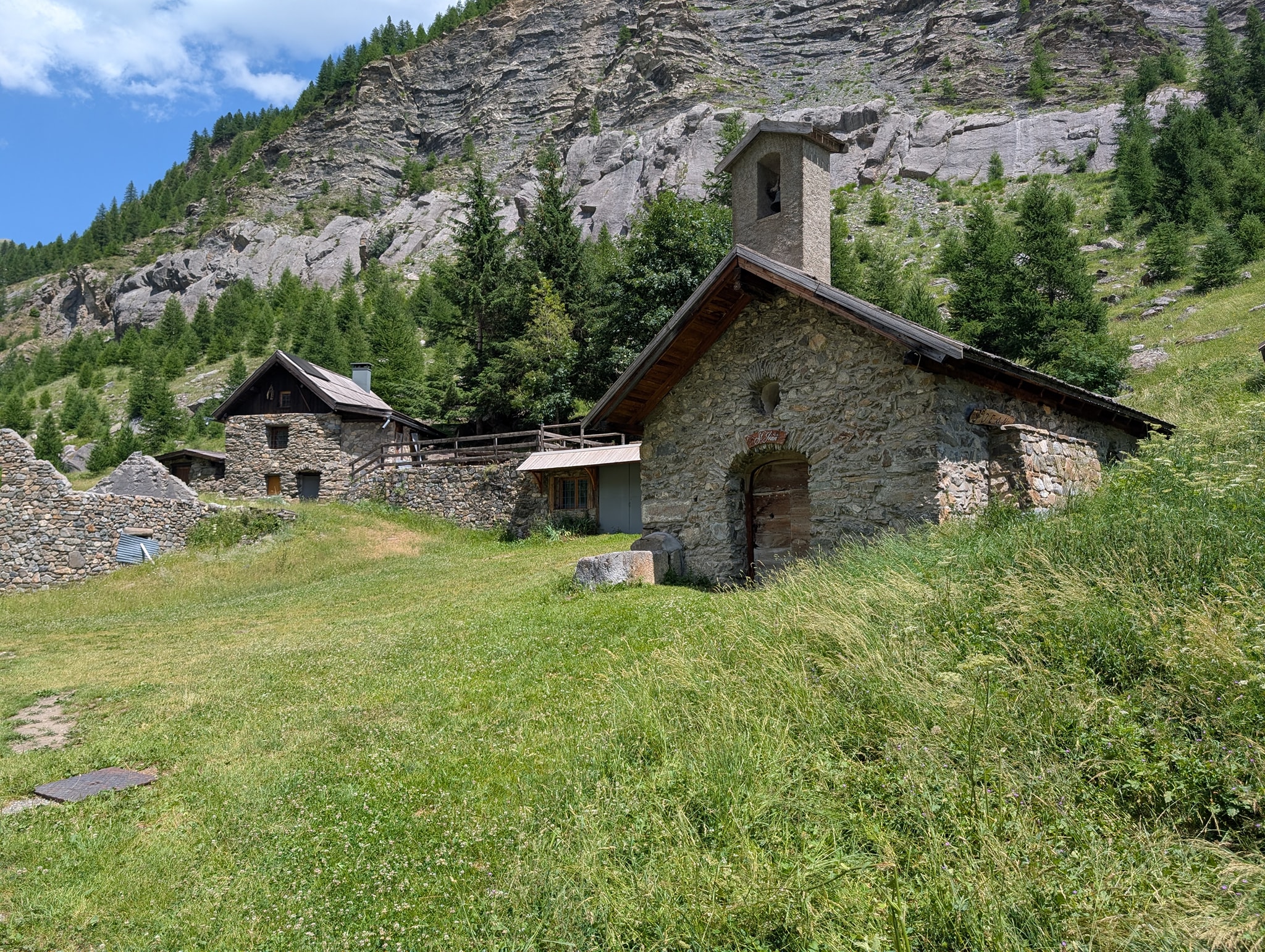
After another 500 meters of descent, I emerge from the forest at the hamlet of La Danchère. Here I find a water fountain where I take a break. I had two cans of soda in my pack when I started today. I drank one at the pass, and I had saved the other for when I finished the descent. It was, of course, quite warm by now, so I placed it in the water fountain while I ate. It had managed to get nice and cold by the time I drank it 15 minutes later.
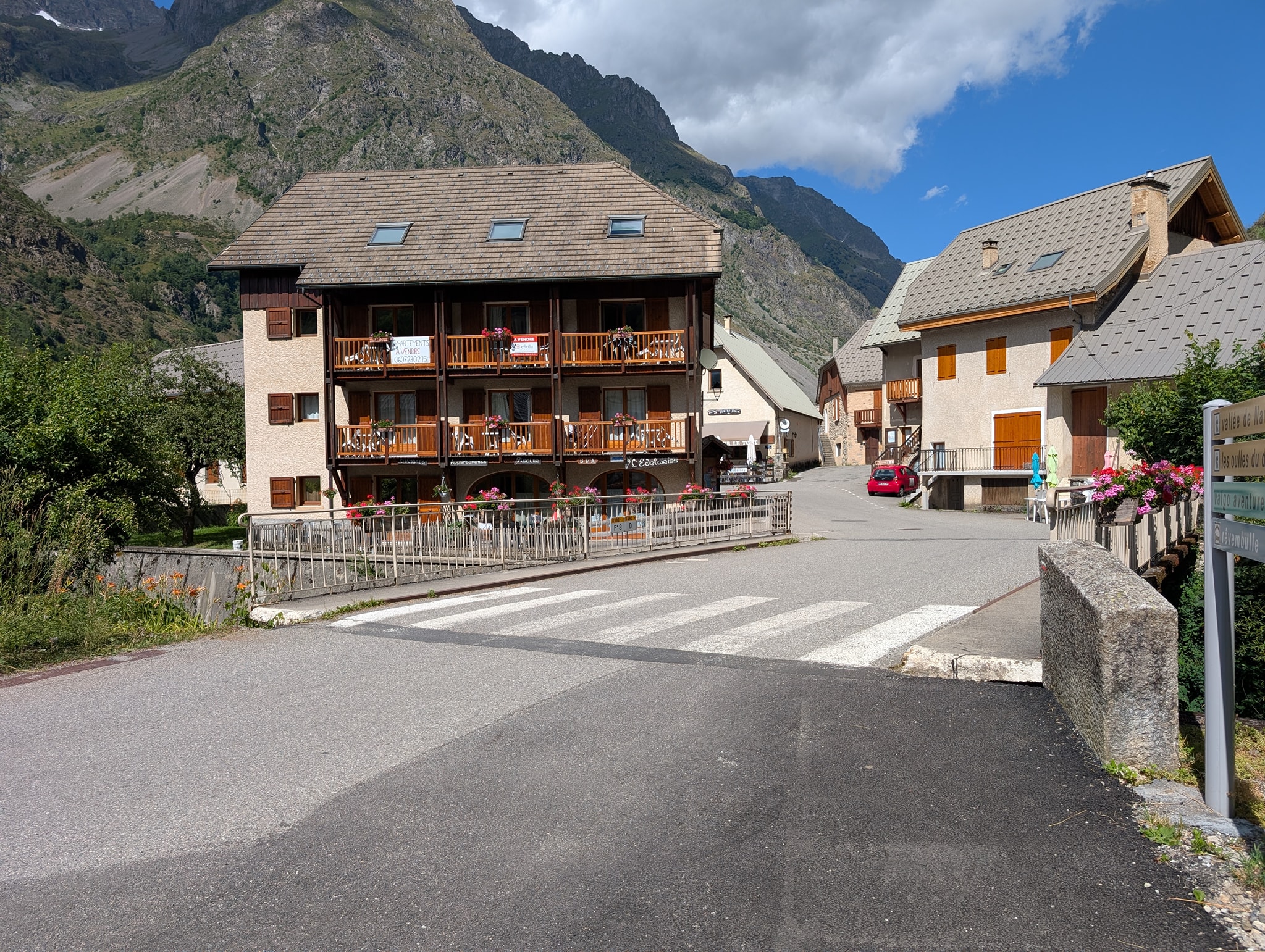
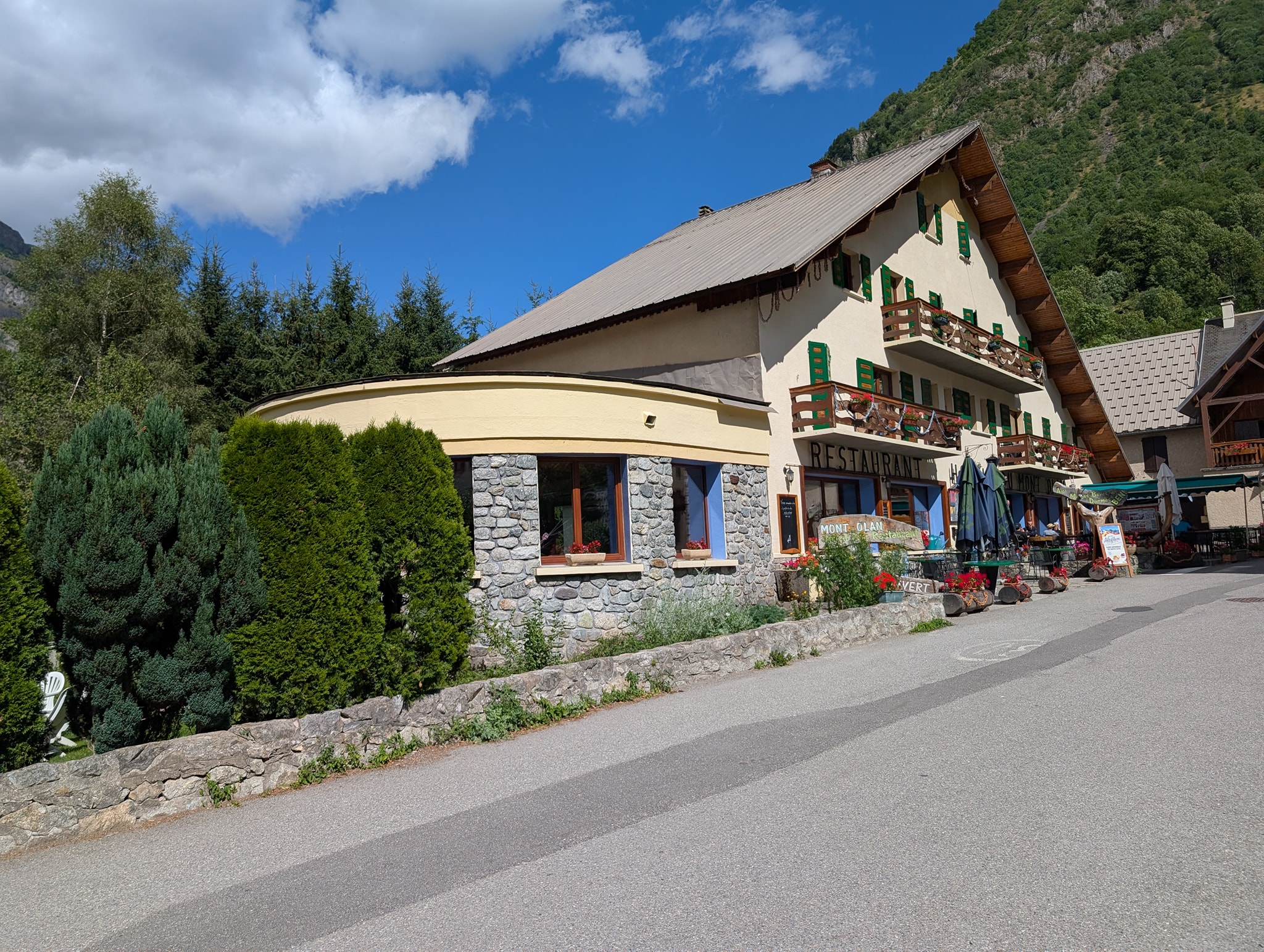
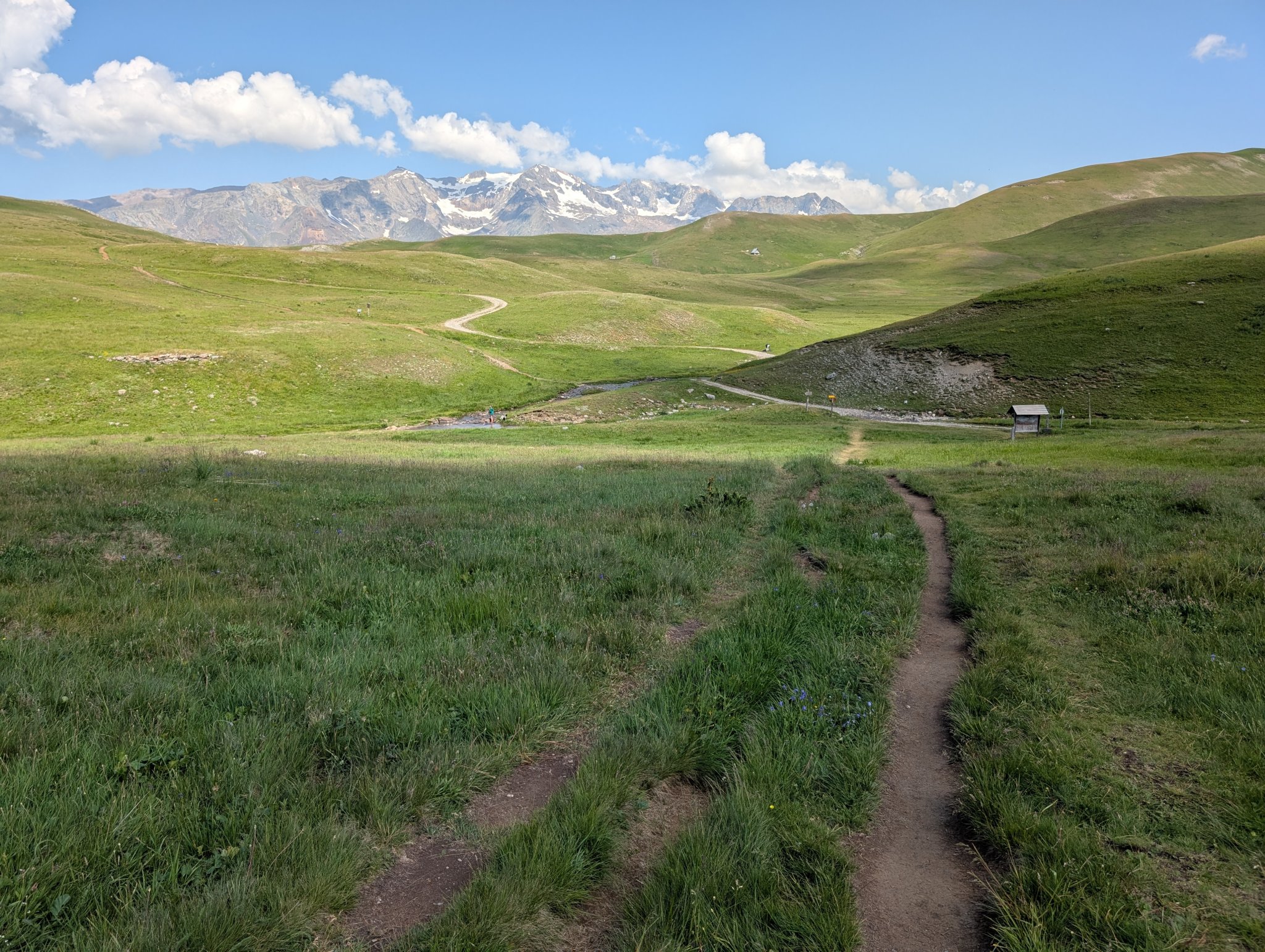
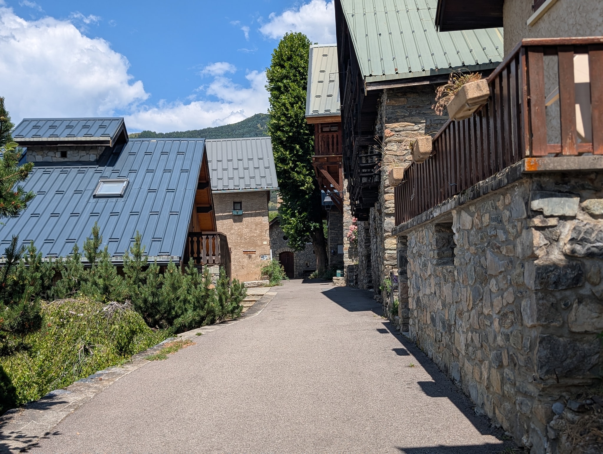
There are now 200 meters of descent left to Le Bourg-d'Oisans. These are spread over the remaining 10 kilometers of the stage, so they are barely noticeable. From here, the route follows a road all the way to the finish. On the way out of the hamlet, I meet Thomas, a German I have run into several times over the last few days. We walk together down the valley and talk, of course, about what we have experienced on this trip. It strikes me how similarly we think, those of us who hike this trail. Nowadays, ideas and inspiration are mostly drawn from the same sources as well: Andrew McCluggage's book, the same Facebook groups, and YouTube channels. Perhaps it's not so strange after all. We part ways at the pond Étang du Buclet, where Thomas plans to camp tonight. I continue the remaining three kilometers to Le Bourg-d'Oisans.
A little before six o'clock, I arrive in Le Bourg-d'Oisans and can proudly acknowledge that I have completed the Grand Tour des Écrins – the trek around the Écrins mountain massif!
Total distance: 21.6 km
Maximum altitude: 2,546 m
Total ascent: 594 m
Total descent: 1,982 m
The fact that it was a few days earlier than planned, so be it. I have a Fullflex ticket with Norwegian from Geneva on the 14th, but the flights are full in the days leading up to it, so I can't move my journey forward. Instead of staying here in Le Bourg-d'Oisans, where there are limited things to do, I choose instead to find a hotel in Grenoble to explore the city instead. It will also be less stressful to get to the airport from there. I just catch the last bus to Grenoble and book a hotel for the next few days while sitting on the bus.
This has not been an easy journey, I can attest to that. The start was very tough, and there was a period where I wasn't sure if I would be able to complete the trip. It helped to get rid of a few kilograms in La Grave. The stage after that was also somewhat easier than the previous ones and gave me my confidence back. I think this stage was also the most beautiful of them all. It was truly beautiful heading down toward Le Monêtier-les-Bains.
Almost all the stages have started with steep climbs up to a pass, and often ended with demanding descents. Several of the passes have been technically challenging – and with snow, some of them would have been downright dangerous, even with crampons.
In total, I have walked 216.6 km and climbed 13,155 meters. If I were to do the trip again, I would change two things: have a significantly lighter pack (under 10 kg) and go in the autumn when it is cooler.
The trip is completed, and I can say I did it with style. I have mostly followed my plan and only made a few adjustments along the way where necessary. I am left with a fantastic sense of accomplishment and many unforgettable experiences.


.")


")


.")


")


.")

.")
.")


")


")

")


. Like oppe i bakken her er en avstikker til den alternative varianten over passet Col des Grangettes")

")


. Det er svart bratt opp her.")


")


")


")
")


, nest høyeste fjellet i Ecrins massivet")


")